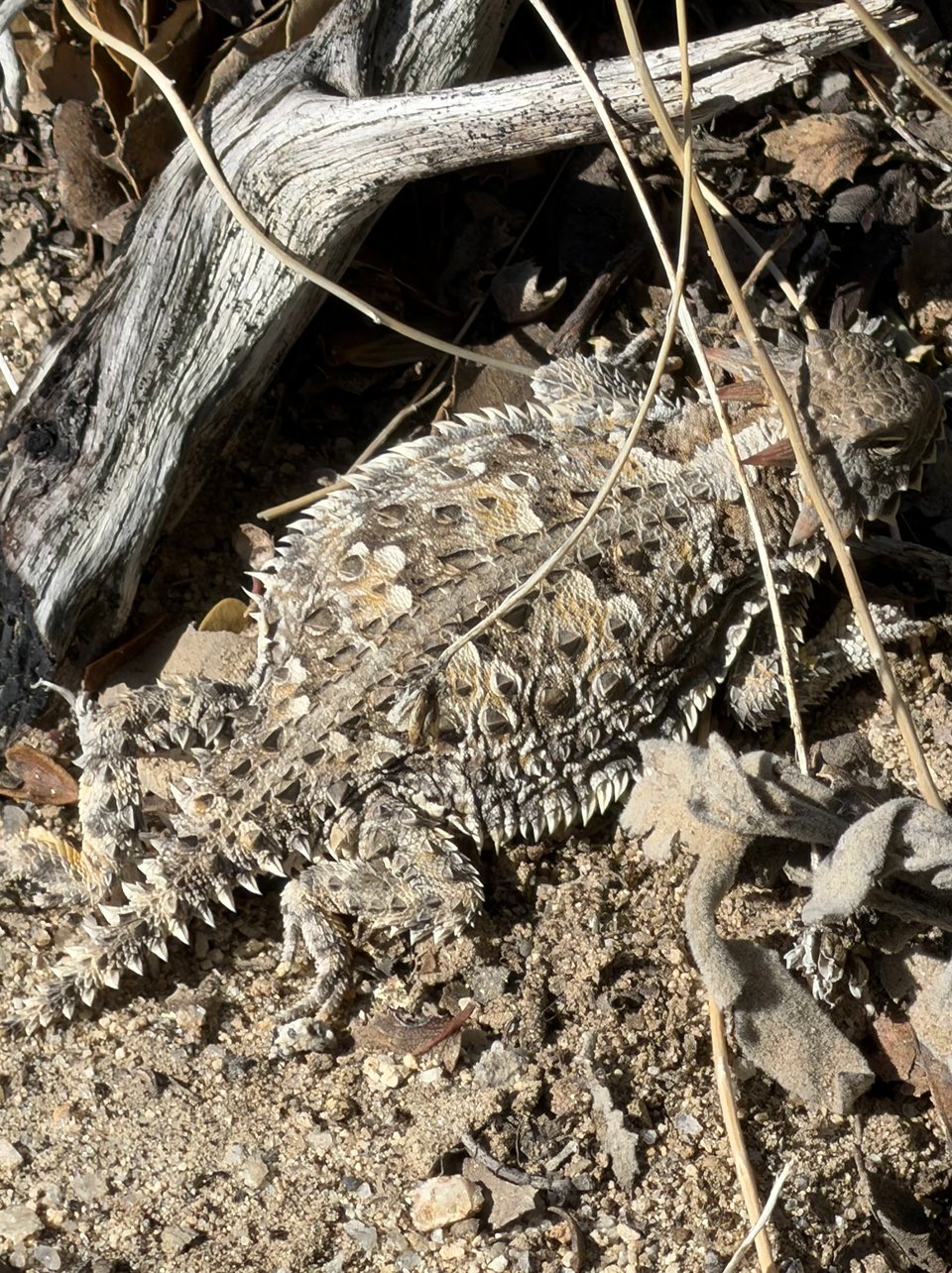
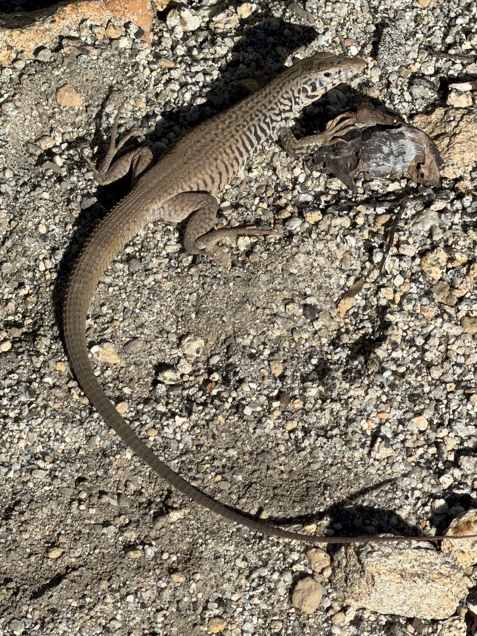
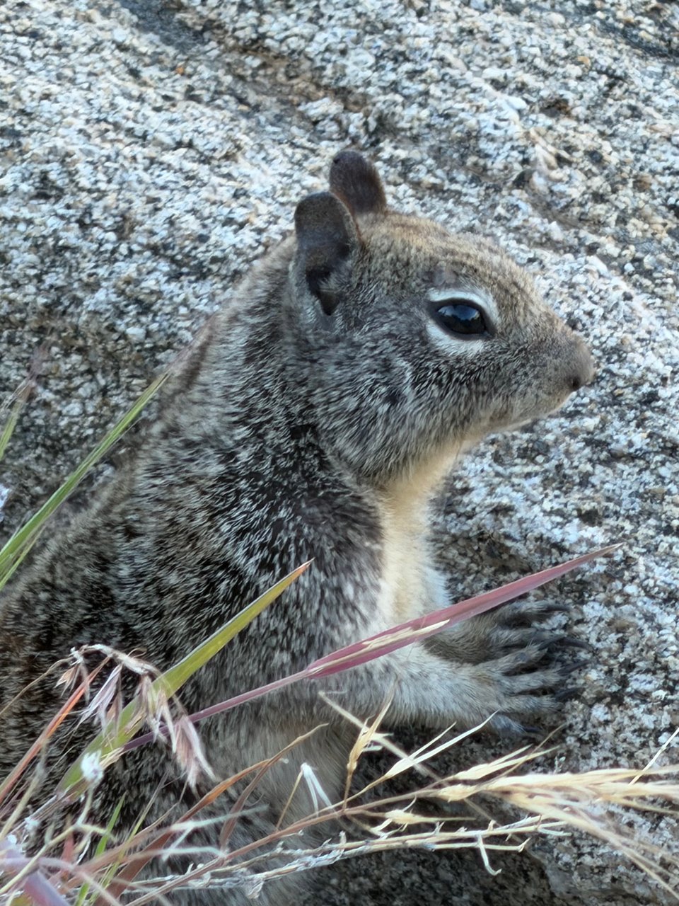
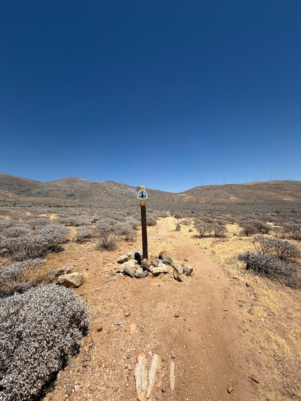
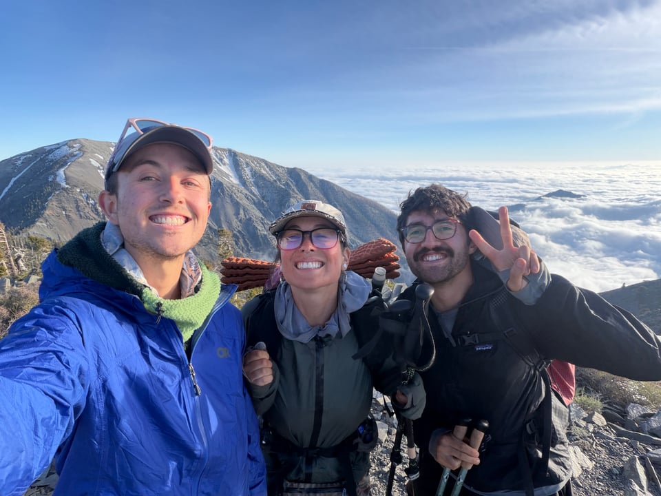
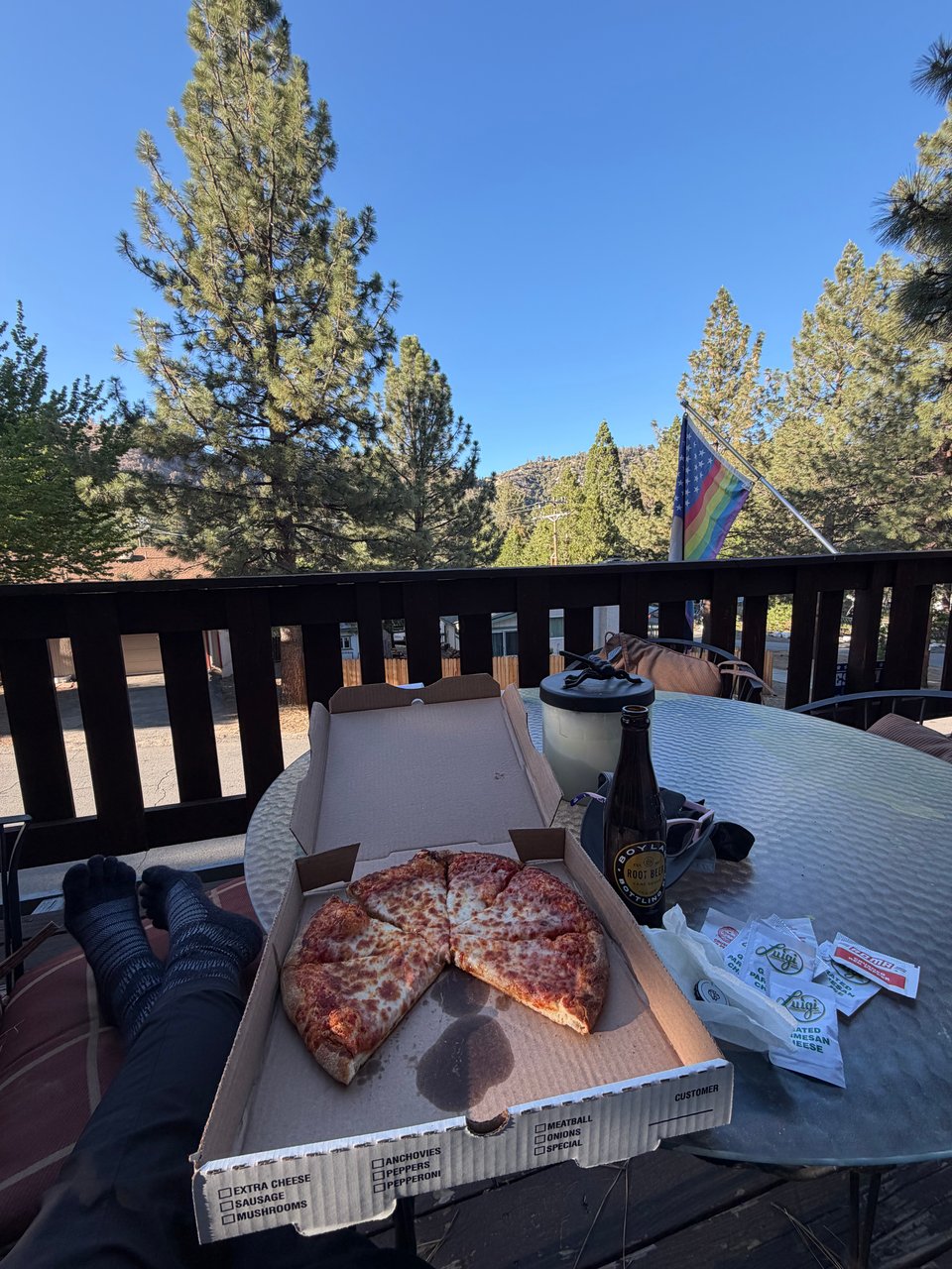
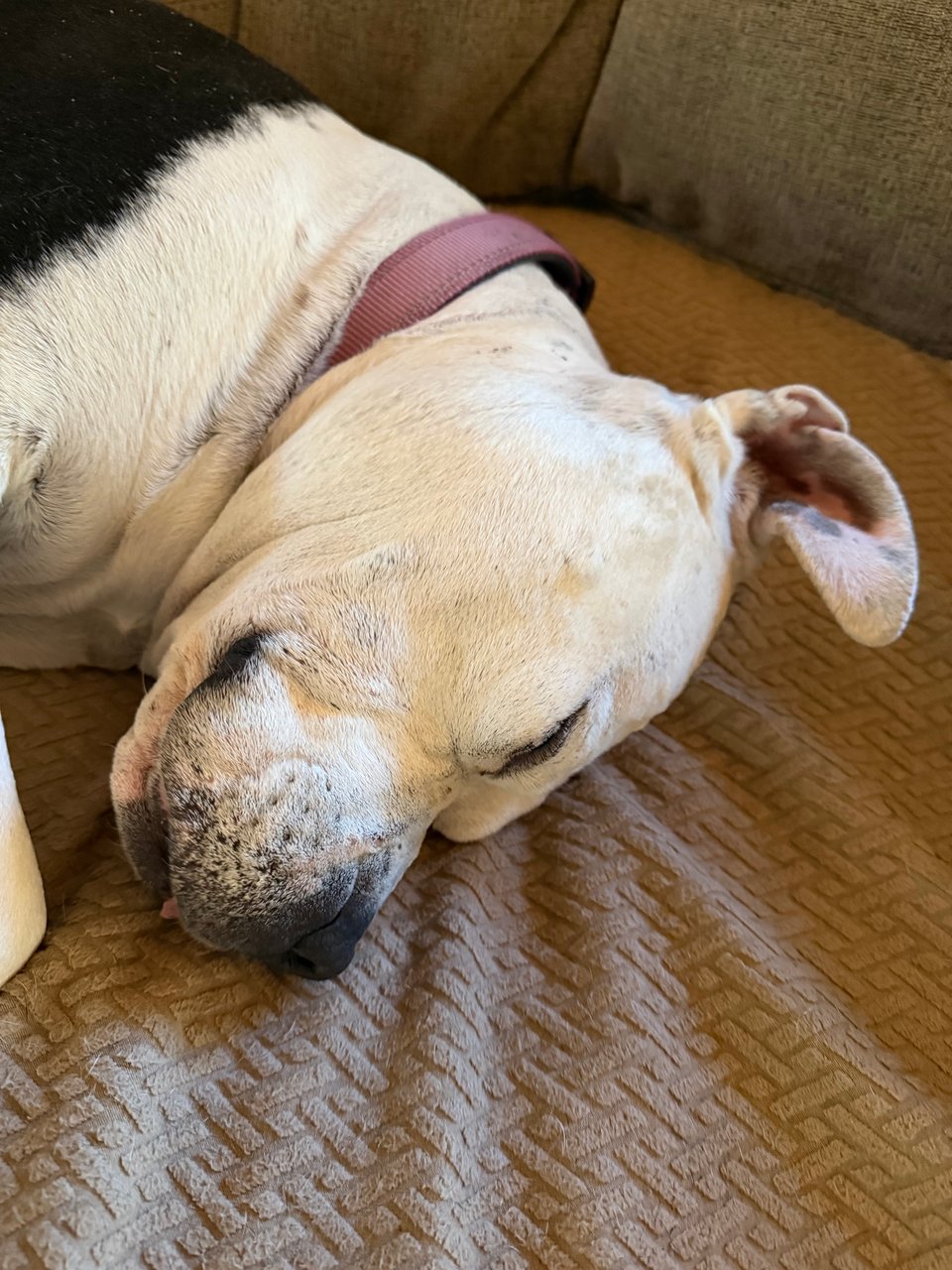
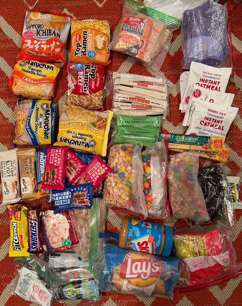
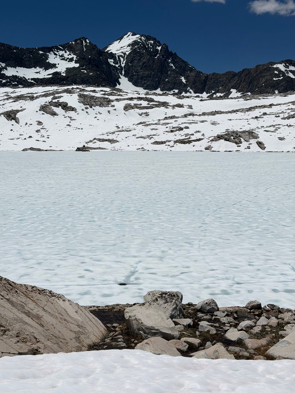
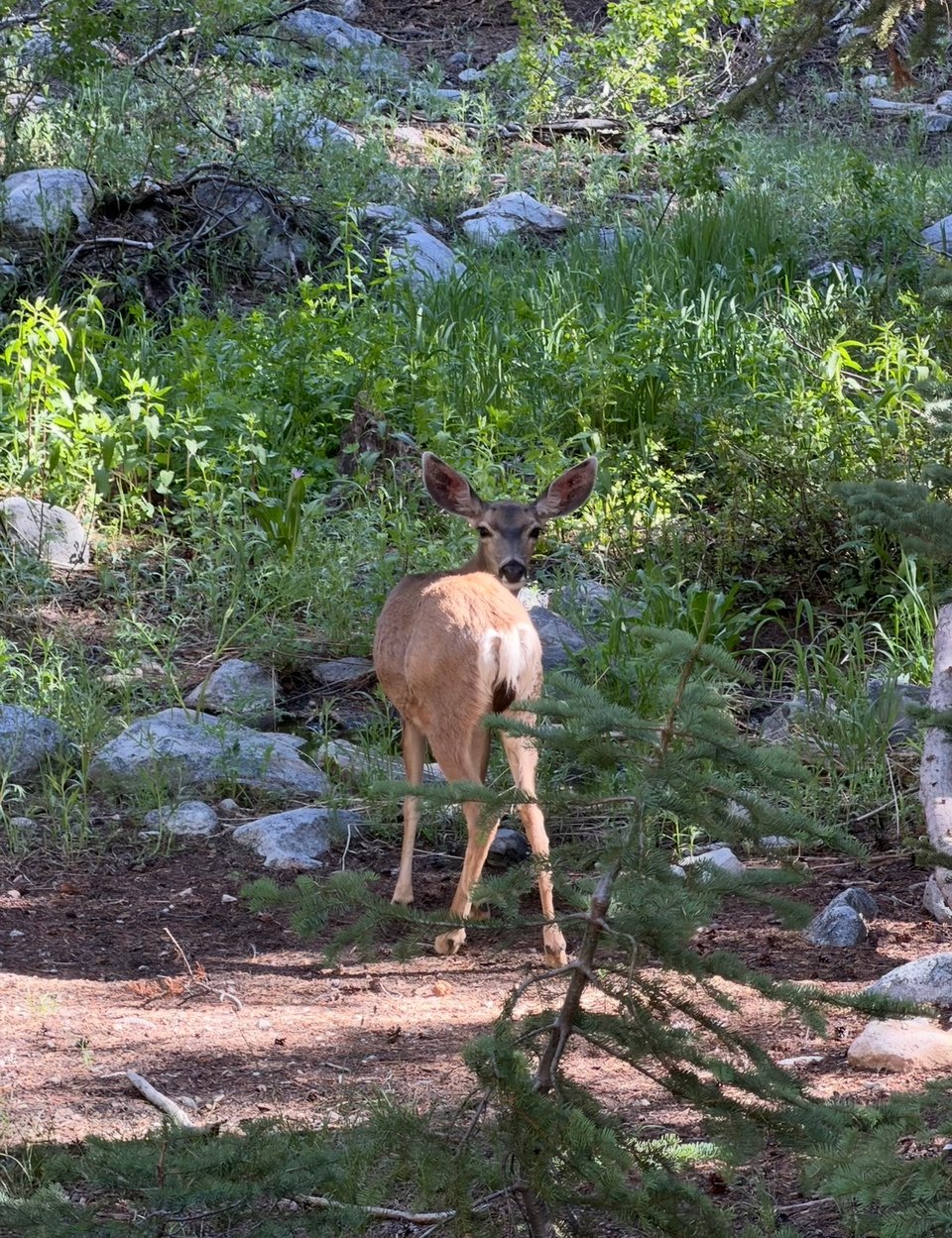
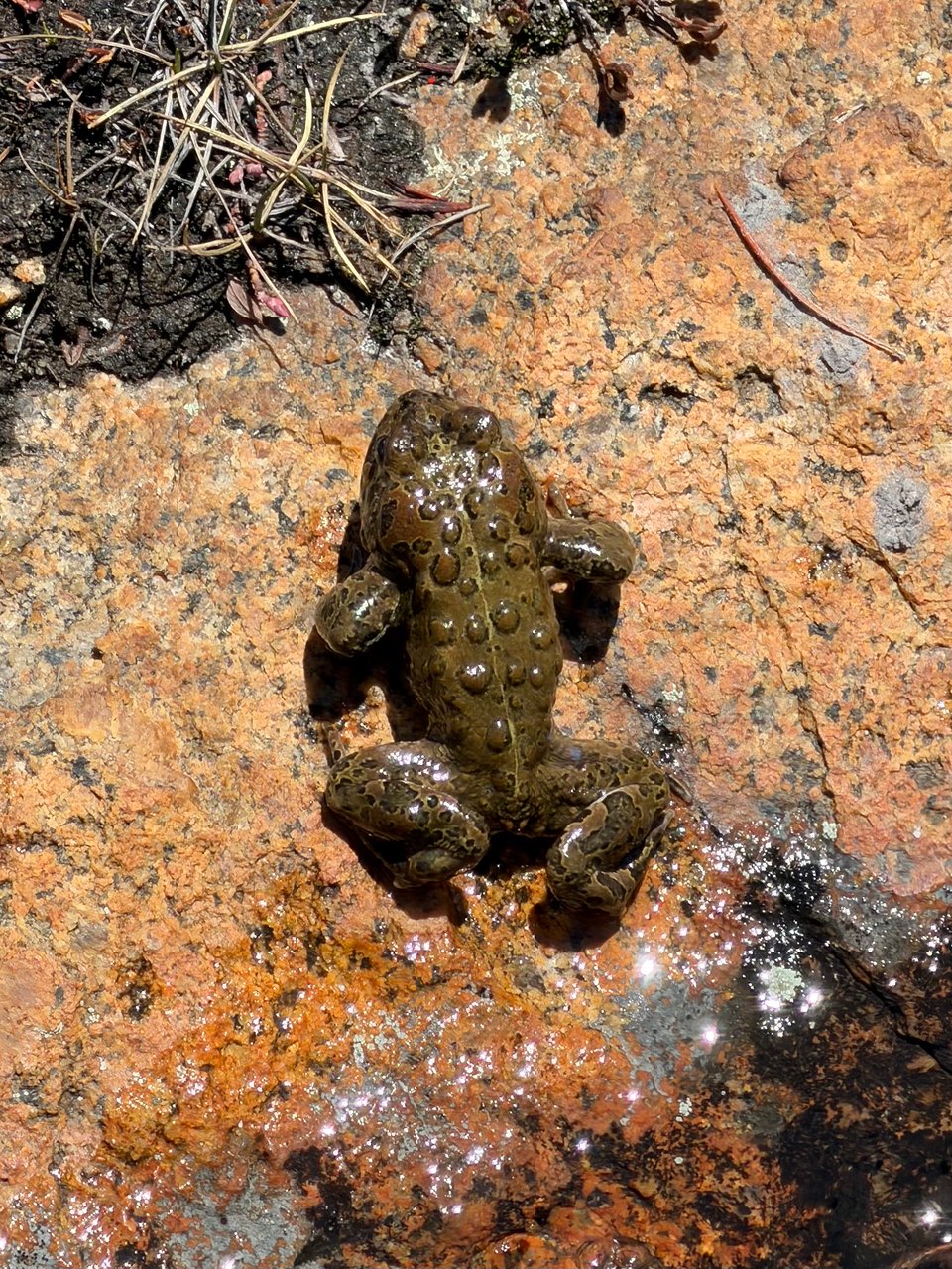
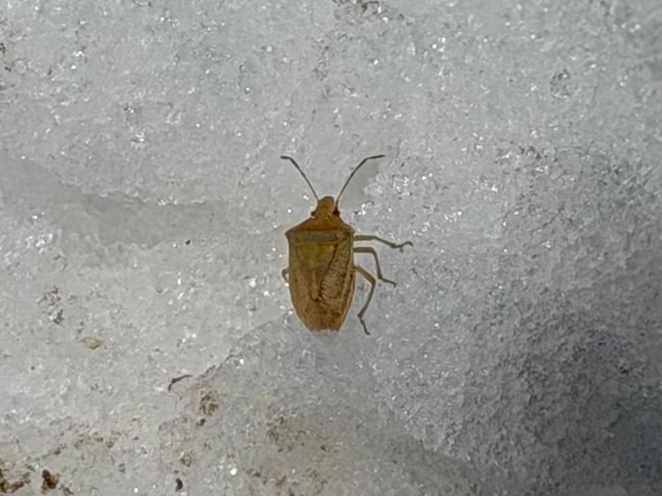
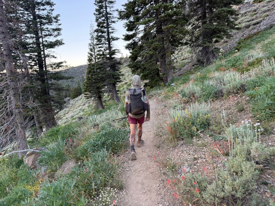
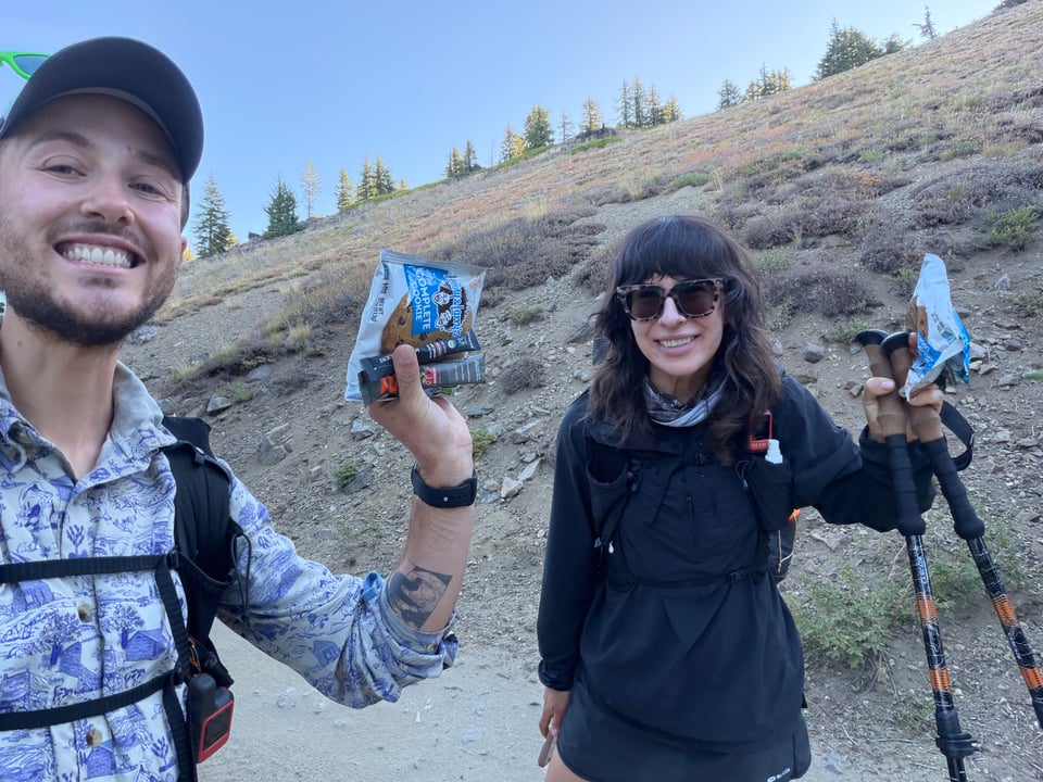
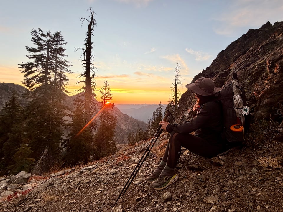
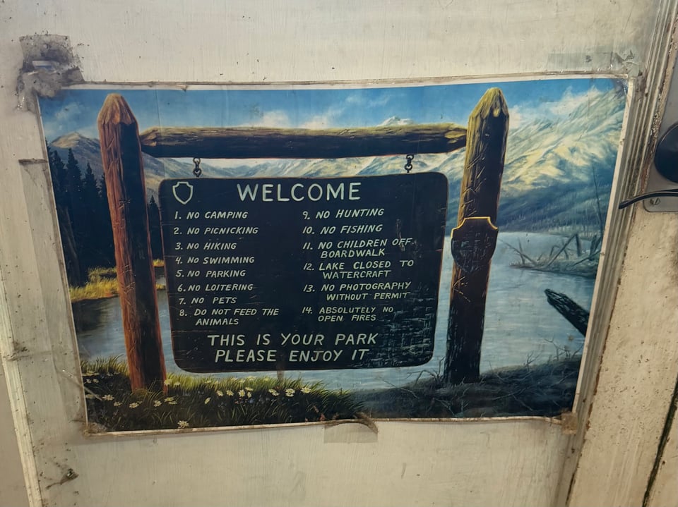
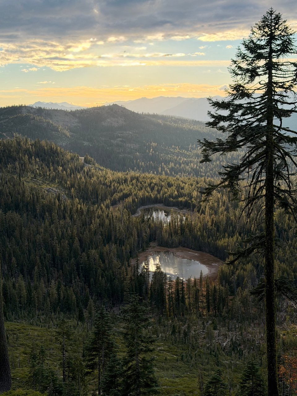
Part 1: and so it begins
northbound on the pct
2026.04.24 — original post
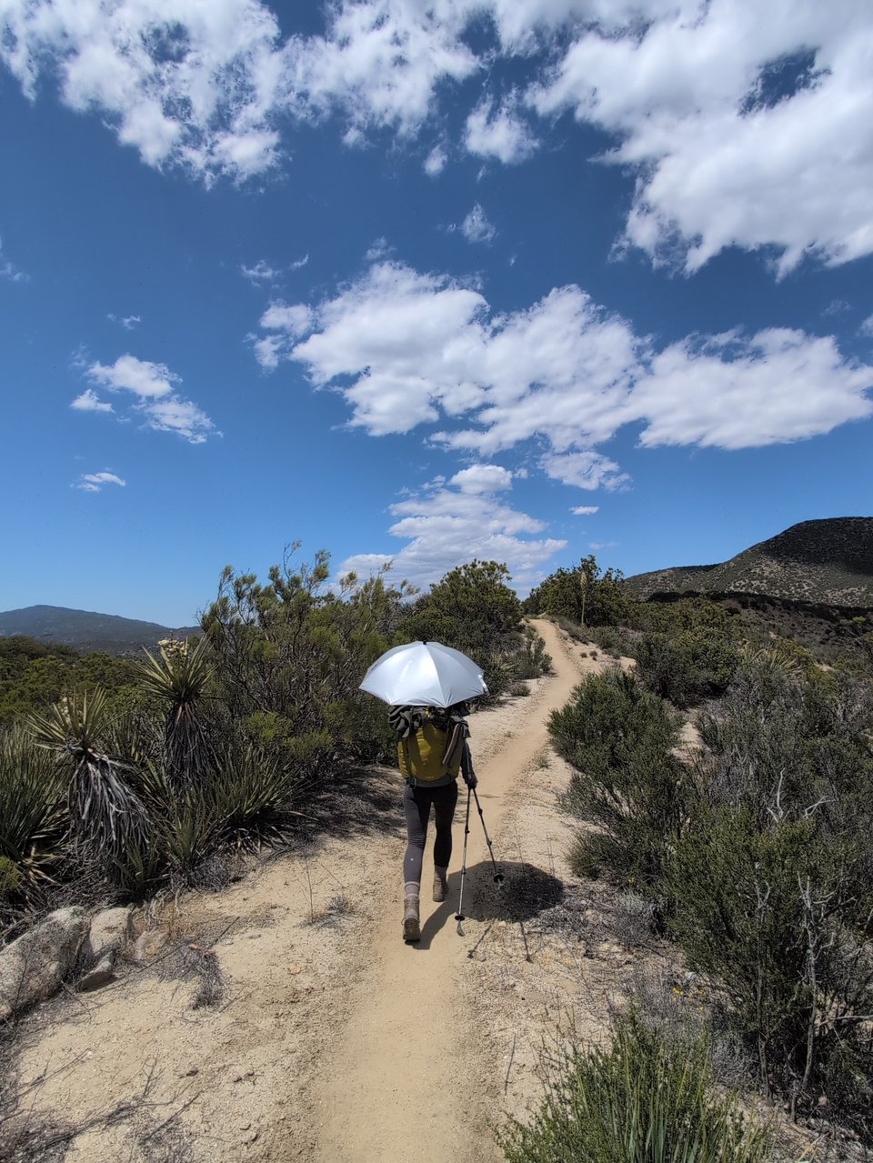
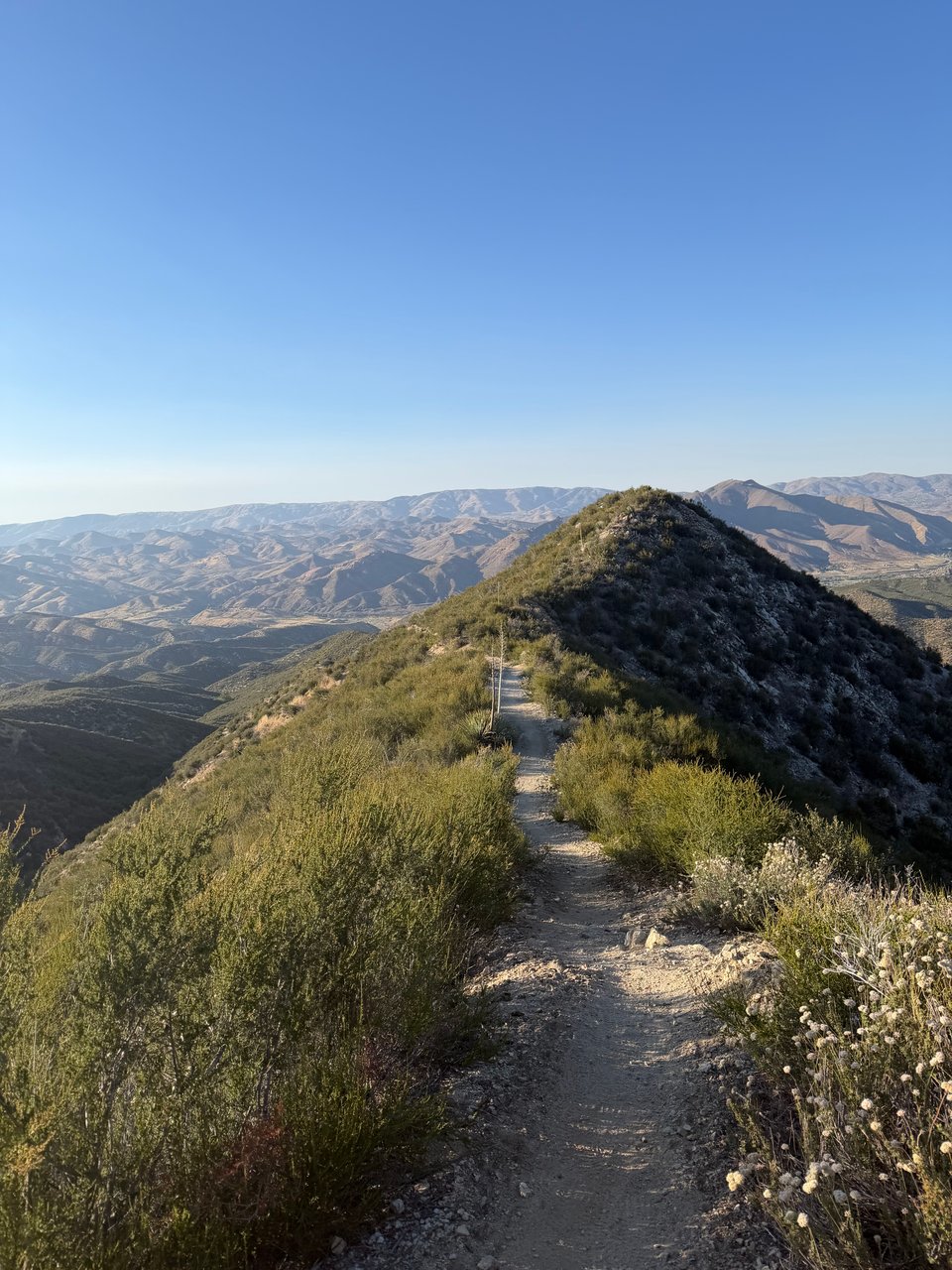
I am currently en route to the USA's southern border with Mexico. Over the next few months I'll be following the Pacific Crest Trail walking north until I reach the border with Canada.
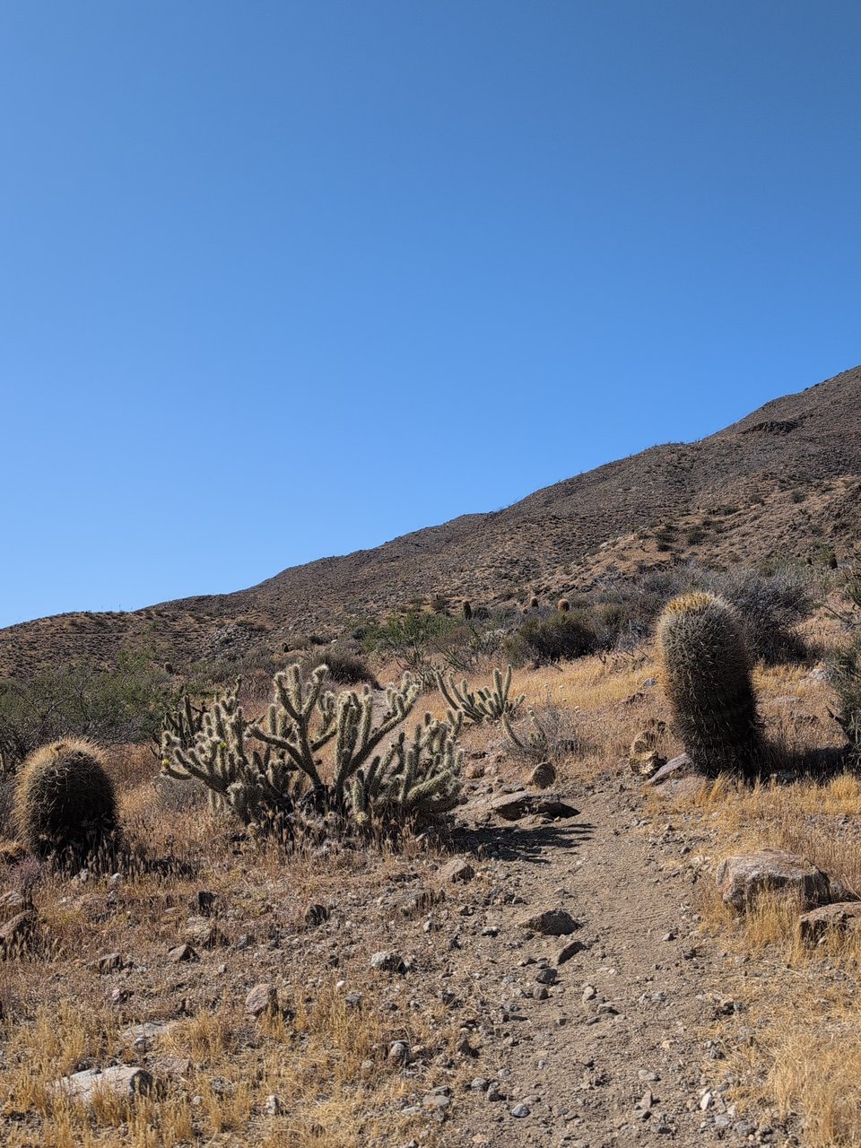
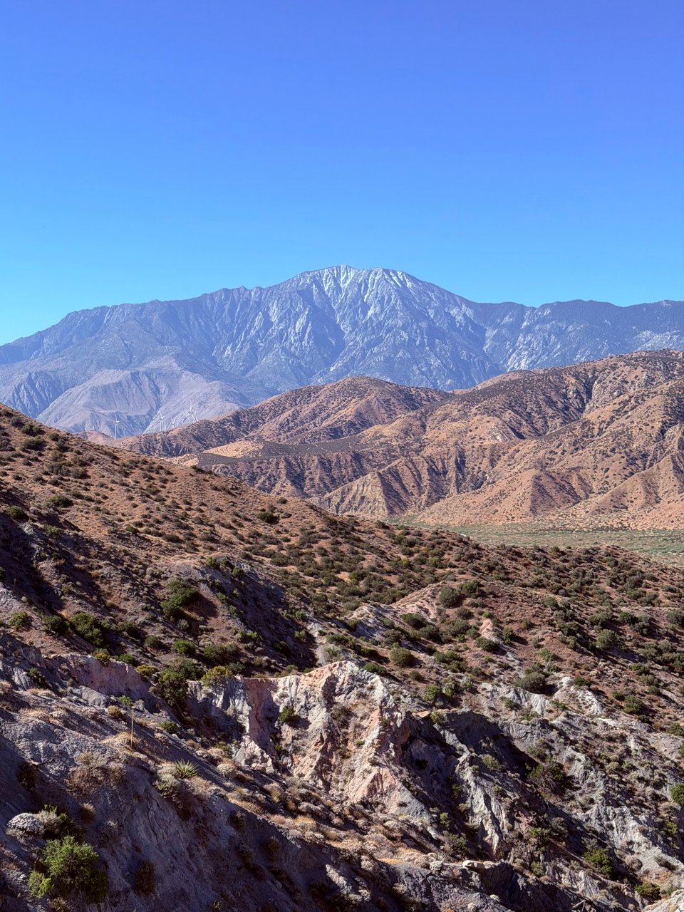
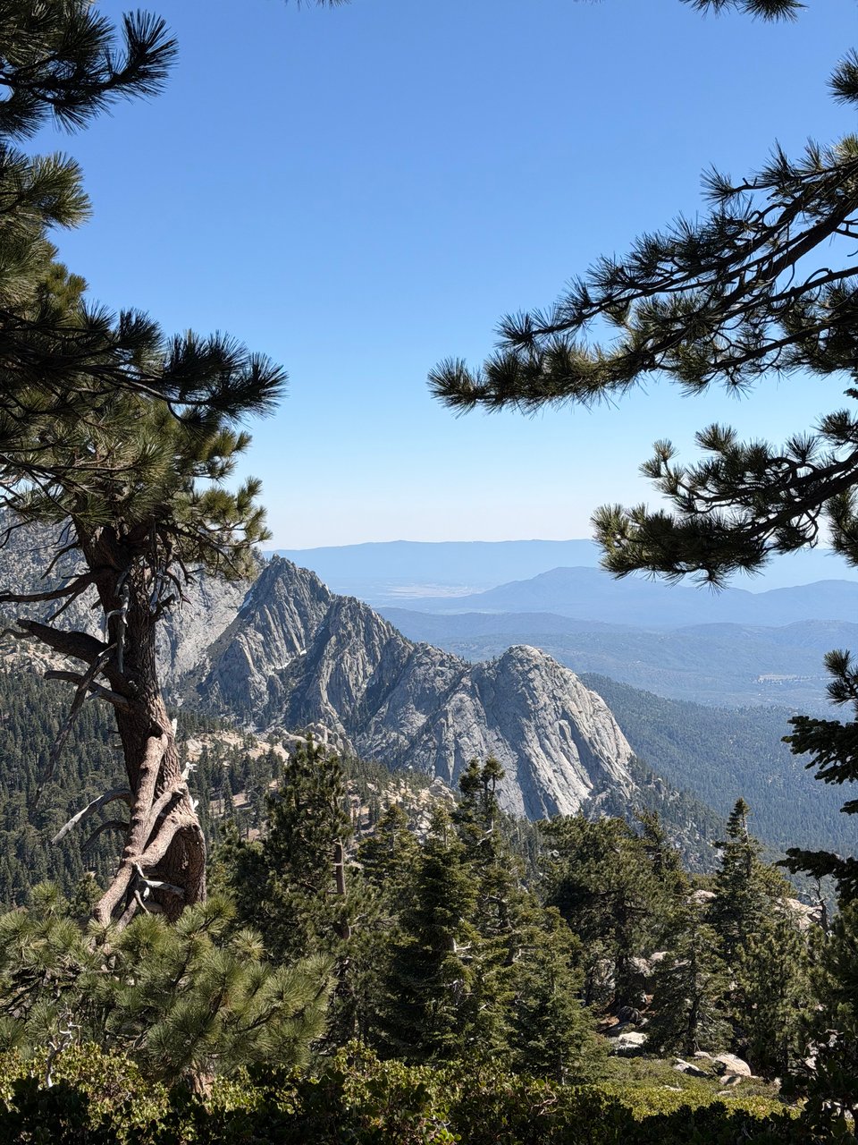
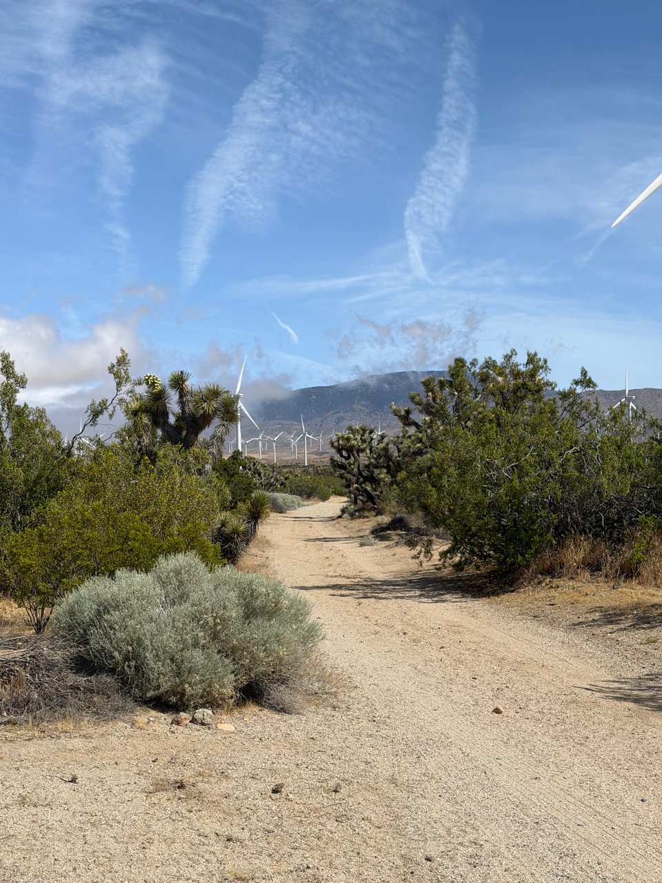
Arid biomes rule the southern portion of the route -- the Sonoran and Colorado Deserts. Water is hard to come by, on day 1 there is already a stretch of 20 miles between reliable sources. By this time of year creeks have vanished. I'm praying for rain. Though it may be dry, this desert is not flat. In the San Jacinto and San Bernadino mountains closer to Los Angeles I'll probably encounter snow at higher elevations.
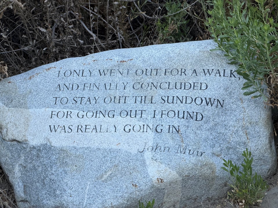
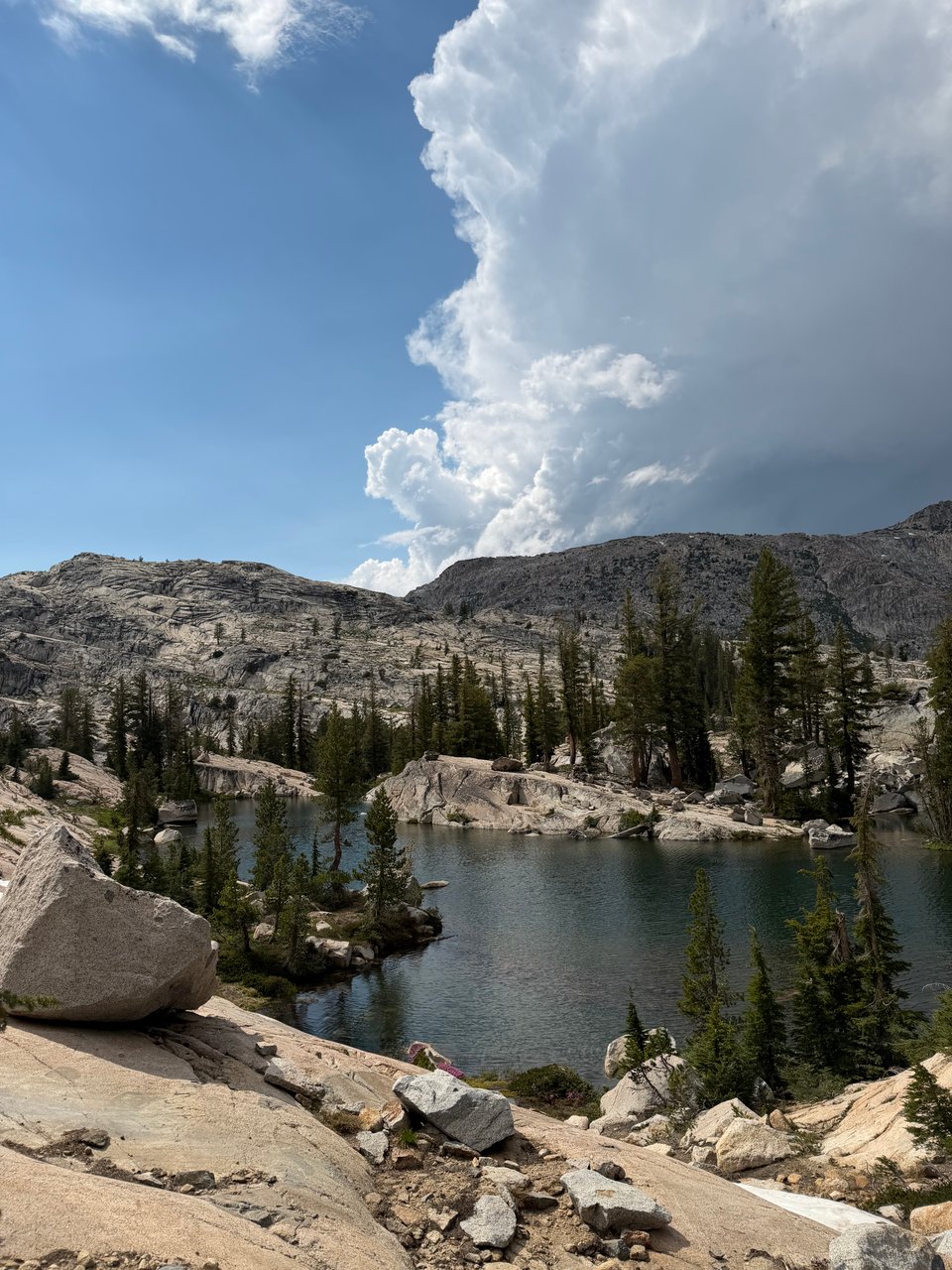
Further up in the Sierra Nevada, I will climb the continental USA's highest peak, Mt. Whitney, at 14,505'. The trail here hovers around 10,000' elevation for hundreds of miles. I’ll pass through Yosemite and Sequoia-King's Canyon National Parks. Craggy granite peaks preside over crystalline streams and lakes. Muir and Adams were correct to be fanatical about the region, in my view. I have been among these peaks many times before but still struggle to believe a place of such raw terrifying beauty is actually real.
Past Lake Tahoe, in Northern California, the terrain flattens and becomes volcanic. North of Mt. Shasta, I’ll cross into the Cascades in Oregon, past Crater Lake, through thick Pacific Northwest forests. Finally, in Washington, I’ll hike through peak wildflower season in the Central and Northern Cascades, until I reach Canada.
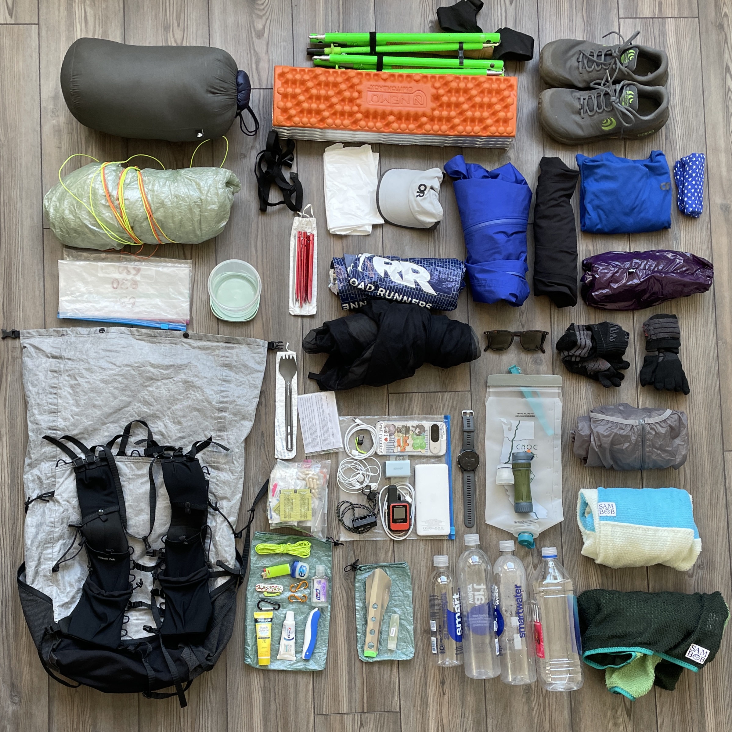
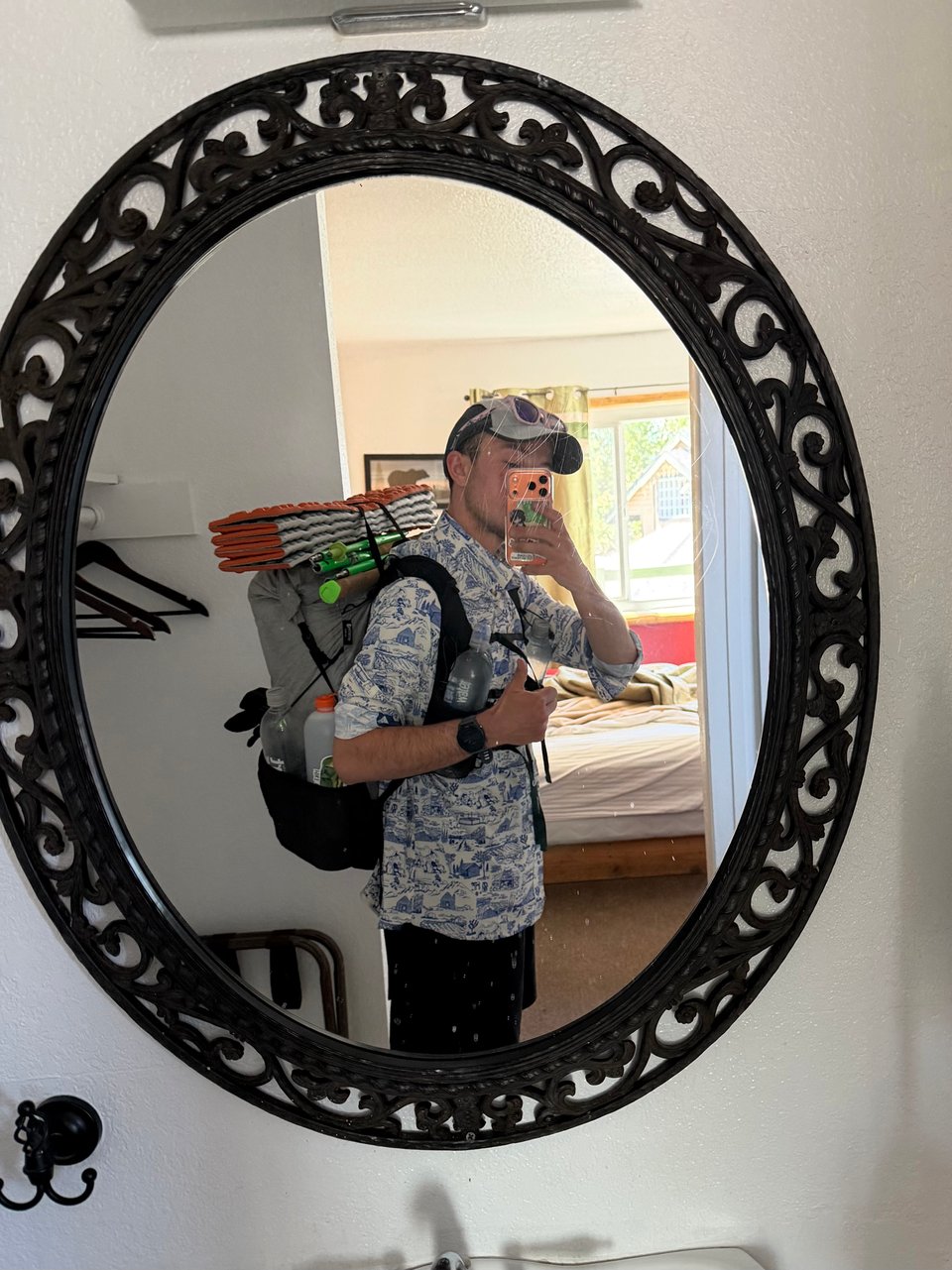
I expect to spend 100 days +/- walking, plus however many "zero days" I take off to rest. I will pick up food from towns every 4-5 days, roughly. I'm carrying 8 pounds of equipment and gear to start, including my pack. Everything I need to survive is in here.
If you’re curious, a list detailing each item is available on lighterpack. I will sleep, and eat, and brush my teeth, and go to the bathroom, and everything else, outside.
It's impossible to truly prepare for something like this. You cannot possibly anticipate what will happen over 100+ straight days of backcountry travel. I have poured over my gear list for weeks, weighing and modifying everything, practicing knots, memorizing first aid acronyms and calorie-per-ounce values of different foods. But that will all pale in comparison, I'm sure, to what actually happens when I'm out there.
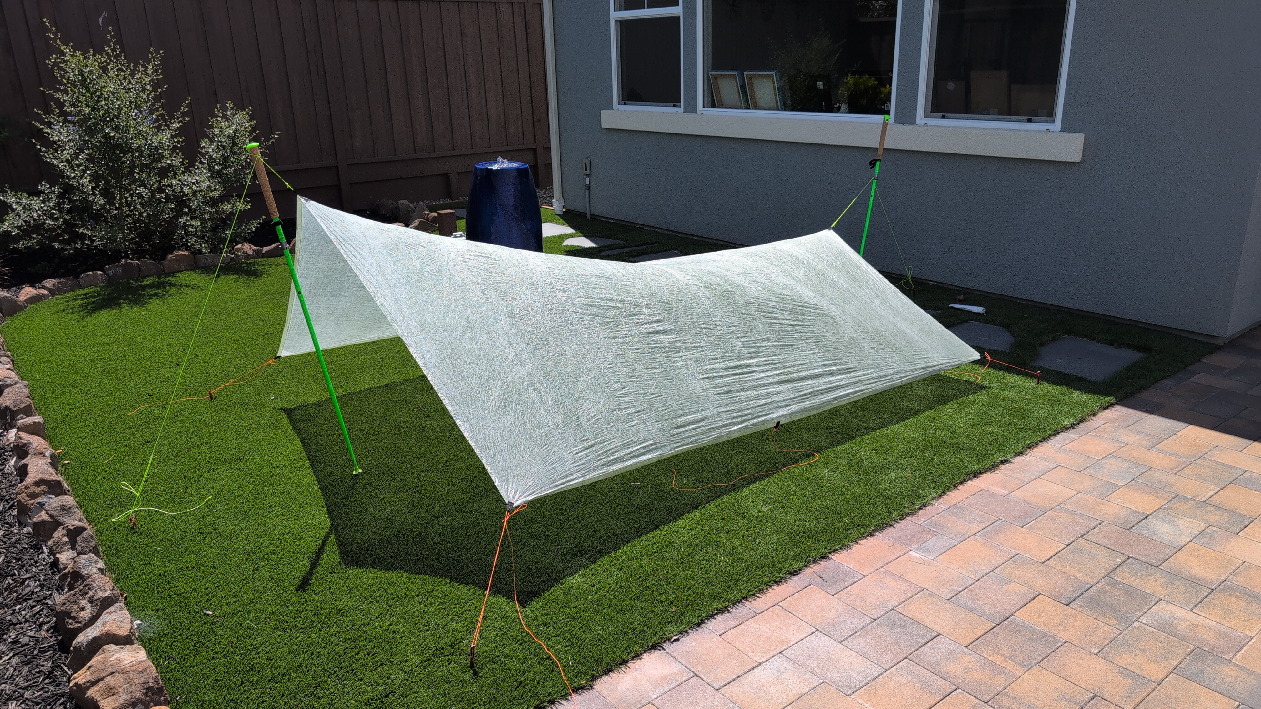
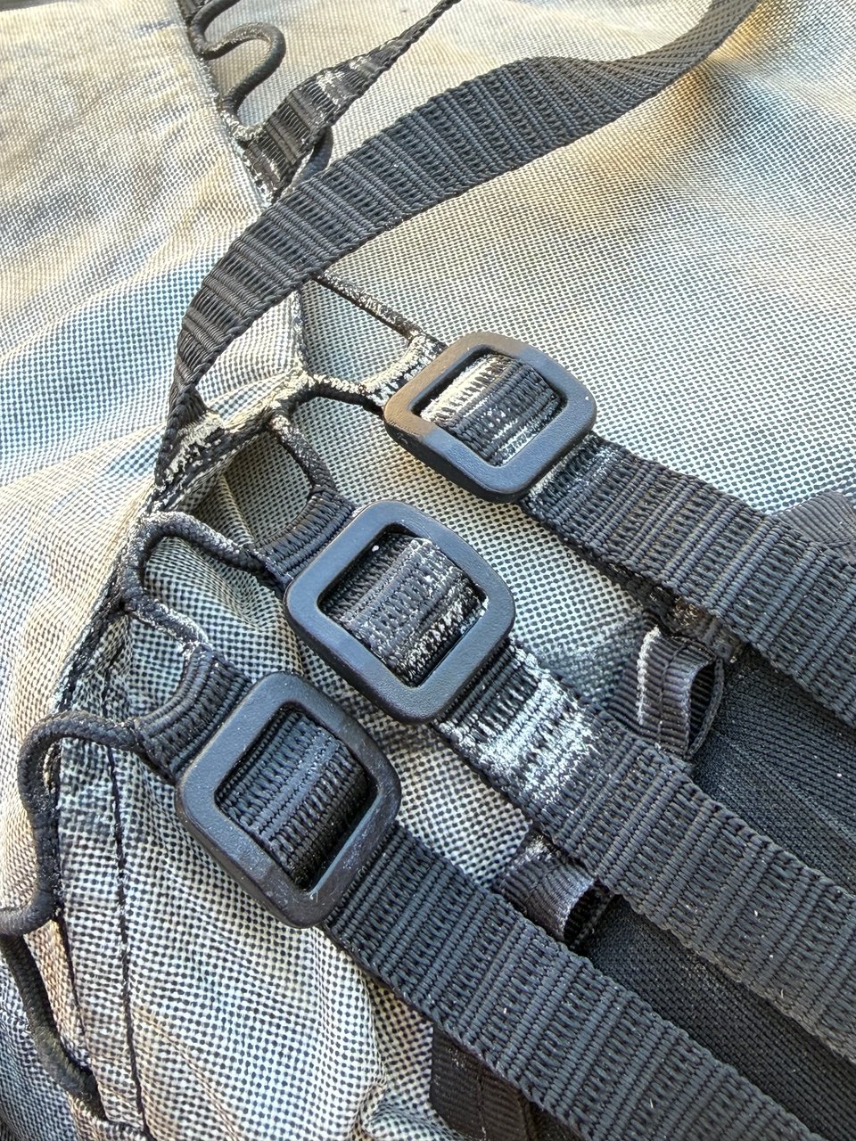
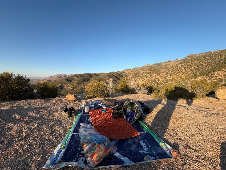
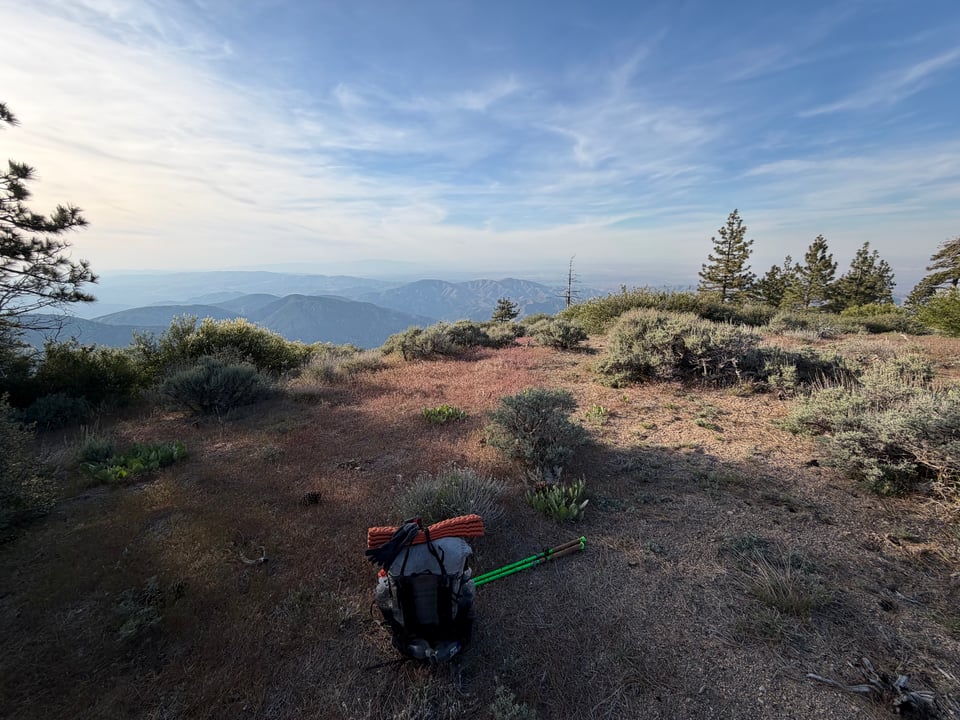
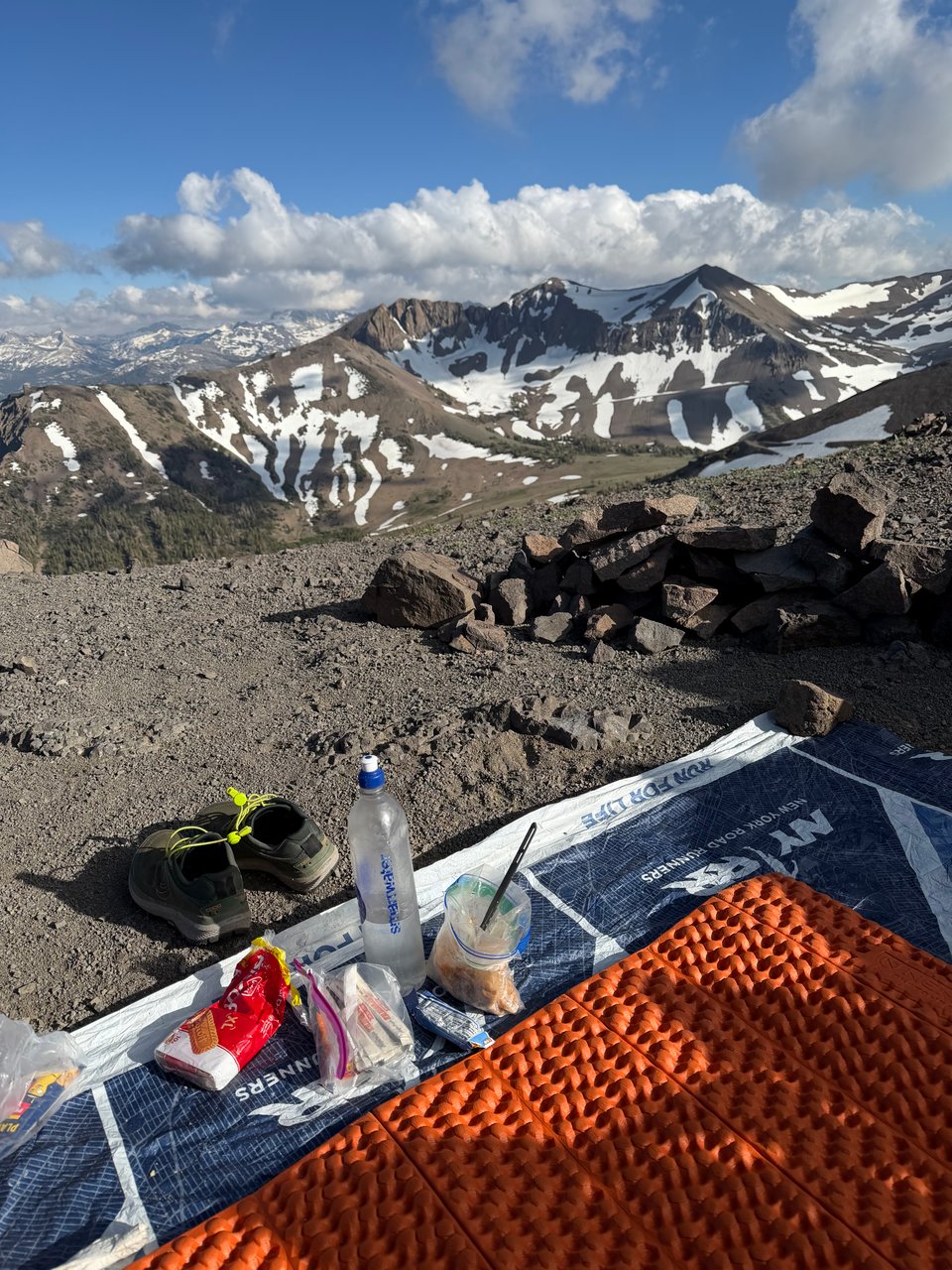
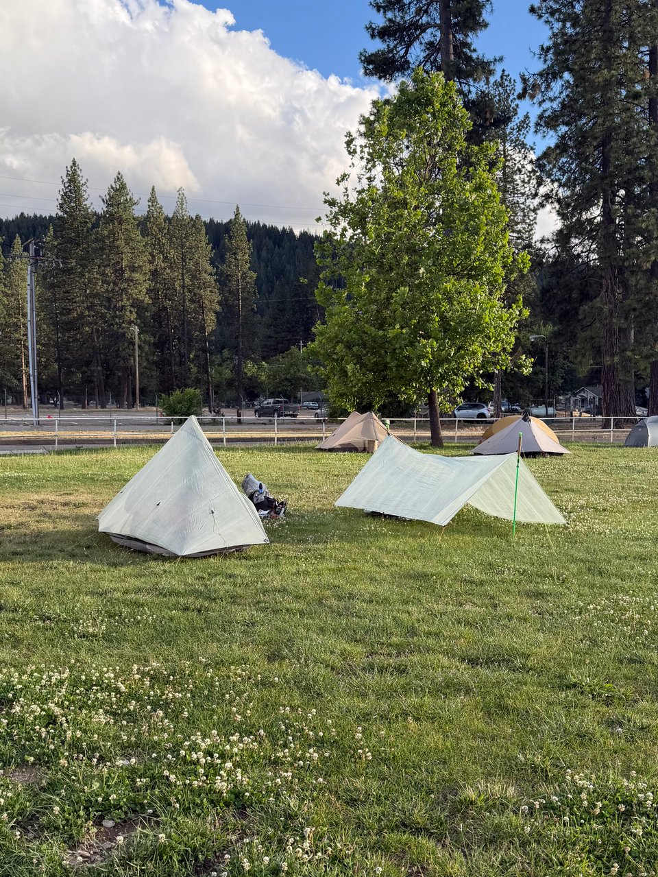
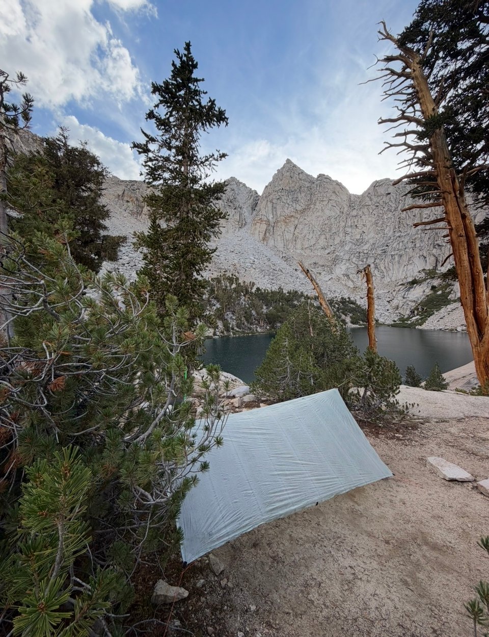
Anyways, website exclusive content. I modified a lot of my gear but I'm the proudest of my tarp. It's a MLD grace duo with a fully replaced guyline system. I'll report back after the hike whether it turned out great or not.
Part 2: setting off
2026.05.02 — original post
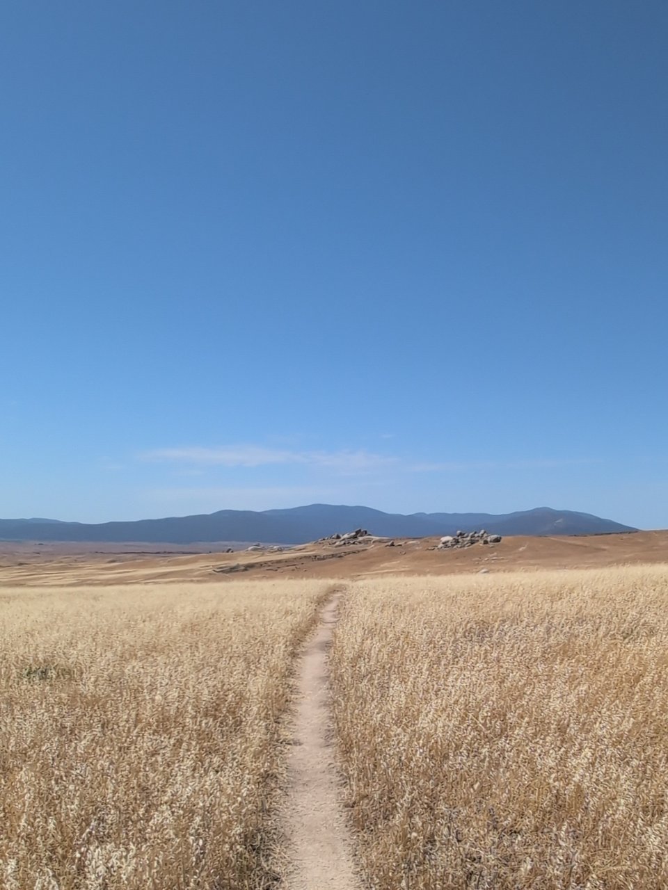
I am 2,000ft into a long, gradual climb, and I want to give up. I am barely halfway. I have eaten nothing but processed junk for days. The relentless 2pm desert sun refuses to let my grimy, dehydrated body catch a break. Somehow the five liters of water I started the day with, supposed to last until tonight, have almost entirely disappeared. Views of beautiful but barren canyons and mountains stretch on for miles. Switchbacks continue on into infinity. I don't want to think about what happens if I stop and run out of water.
This is life in the desert on the PCT.
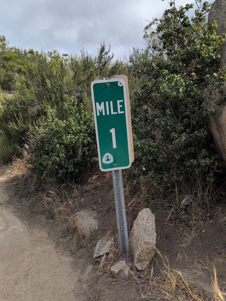
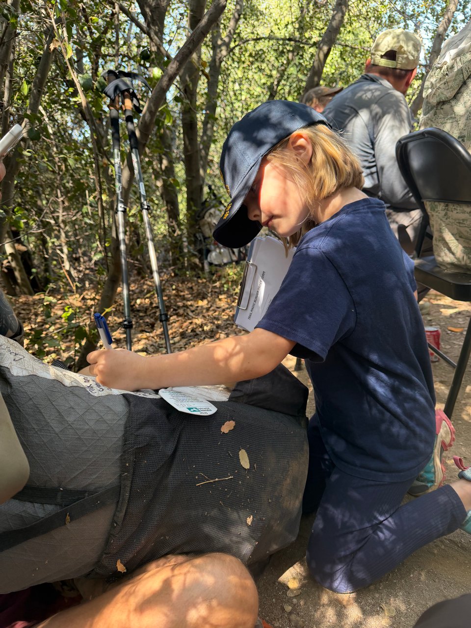
On Saturday April 25th, I signed the register at the southern border, flashed my permit to the authorities, said goodbye to my dad, and started northward. By midday people were dropping like flies in the heat. I had planned to do only 17 miles, but on a whim continued on, and was lucky enough to experience my first “trail magic” at mile 20. This is when volunteers spontaneously bless hikers with free food, drinks, or other gifts of time or service. "Pinhead", named for the dozens of hike-commemorating pins in his hat, a grizzled but jovial veteran hiker probably in his 70s, served us burgers fresh off the grill and a giant salad for dinner. For free! I could barely believe it.
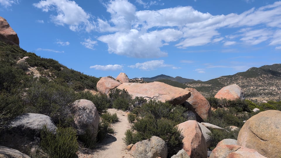
Day two I woke up fairly sodden due to a poorly executed tarp pitch blowing around in the storm overnight. I hiked wet all day, once stopping to wash my socks at a faucet before realizing how futile that would be in the mud. Wind eventually replaced rain, and I began to see hints of pine forest in the distance. By late afternoon I had climbed 6,000ft Mt. Laguna, and the altitude brought colder temperatures. An enchanting forest full of vanilla-scented sugar pines and chipmunks, I would have guessed myself to be somewhere north of Yosemite, certainly not in San Diego County. Three other hikers and I decided to group up in a campsite, and I sprinted to the mountaintop's only open establishment to get french fries to share 5 minutes before closing. Despite 20F windchill that night, I stayed warm and dry and slept well.
The next morning, the wind was even worse. I ran into my second trail magic (this time snacks and drinks) from a couple who had hiked the trail last year. Then I ran into them later the same day further up the trail. Even with the rain, every “seasonal creek" on the map I pass is bone dry. I descend back into the desert and with clearer weather, cowboy camped (i.e. slept in the open under the stars) for the first time this trip, amongst yucca and cacti.
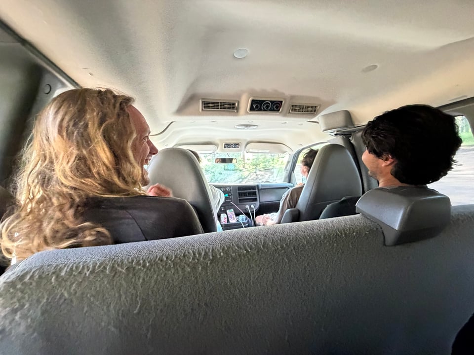
On day 4 I make a quick stop in the small town of Julian to buy some gaiters to keep debris out of my shoes. I take a much-needed $5 shower at a trailer park ran by a cult, though I find out the latter fact only many miles later. A hiking gear shop in town has a service where you can call and get a free ride anywhere in the area, so long as you are happy to cram in a van with a dozen other hikers along the way. Our driver, a man in his 50s with the vitality of a teenager, cracks jokes and gives me some sage advice about “hiking my own hike” and finding my people. The whole area here looks like the movie set of an old Hollywood western. I end the day camping with another fast hiker from Maine who has hiked extensively Wyoming where she worked as a field biologist. I write down her advice about backpacking in the Wind River Range and we commiserate about making friends every day but having to leave them behind so quickly.
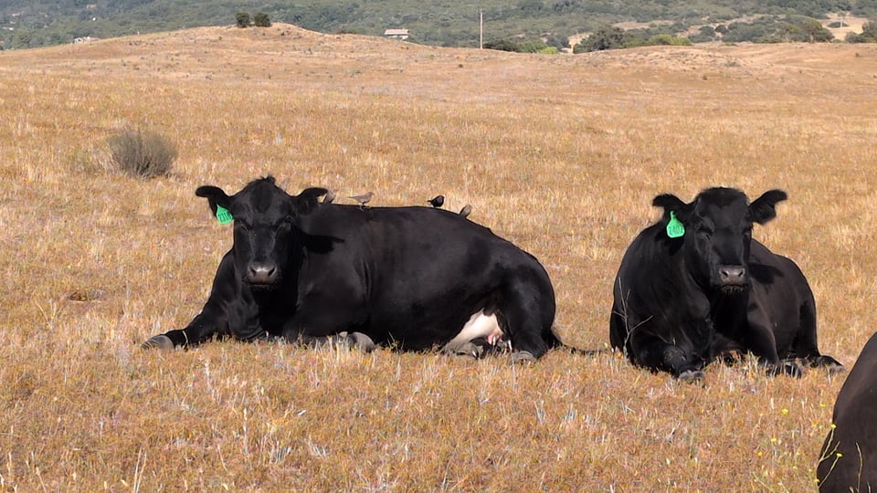
Day 5, without any real reason, I decide to hike my first 30 mile day into the even smaller town of Warner Springs. This marks the end of CA section A, and beginning of CA section B. Things only get interesting after I pass mile marker 100 and head into oak forests and rolling golden hills, the landscape of my childhood. Feeling strangely nostalgic, I arrive with time to spare before the post office closes at 4pm, and spend some time in the Warner Springs community center, a hiker mecca where we can charge phones, do bucket "laundry", and hose down, all for free. The opulence. My standards have been reset so low that finding cold drinkable running water out of a tap felt as luxurious as if it had been expensive champagne.
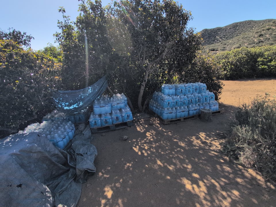
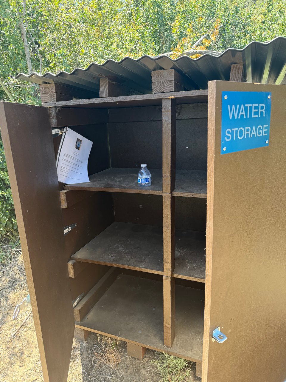
Day 6, another terribly long water carry. Have I mentioned the water yet? Your entire life out here revolves around water. How much you can afford to use. How disgusting and green and/or brown it is. Where it can be found next. With about a liter per 5 miles needed even for a fast hiker, the burden can become unbearable fast. In some places, generous volunteers cache hundreds of gallons in bottles, but those caches cannot be safely relied on. You never really know how much if any will be left. They are however always appreciated. I do the arduous 4,000ft climb to somewhere called Mike's place where I find 30 or so hikers milling around a table of free food and beer, and more importantly, a giant water tower I fill up at. Mike is not home, so I group up with three other hikers to walk a couple more miles as the sun goes down.
Day 7, I wake up early, excited. If things hold up I will be in Idyllwild later today, where I will take my first full rest day. Everything goes right, from finding a couple great additions to our conversation, following a sign to a detour to the DeBenedetti's, another local's property where we are served delicious root beer, a break in the shade, and stories from a generous and exquisitely peaceful man with a beautiful baritone voice. Zen master of the trailer park. In my previous 8 years among the moneyed urban elite I have not met a single person 1/1000th as content and happy as this man. It's contagious, and we are all in excellent spirits as we descend to Paradise Valley Cafe, where I eat the best burger of my entire life and wrap up my first week on the trail.
Overall things are good so far. I am logging far more miles than expected. What surprised me most during week one was this -- despite traversing some of the most beautiful trails and terrain I have ever seen, the true gems of my experience every single time that I will treasure in my memories, were the people. I am flabbergasted by the generosity and how much out here is freely given as a gift. I have found myself unexpectedly being generous with time, skills, and supplies, in ways I would never have imagined myself doing 5 or 6 weeks ago. It fills me with hope and optimism that things might actually turn out ok for the human race. Good people are out there. There is still hope for us all.
But that is really just the beginning.
Part 3: fire & ice
2026.05.13 — original post
I am coming to you live from just outside the very aptly named “Sand to Snow National Monument”. It has been quite a week. Or so. I am having a hard time keeping track of days now.
One day you wake up to a dusting of snow. The next you open your eyes and it’s already approaching 100F. You climb a 10,000ft mountain and descend all the way to the ground next day. You sleep in the dirt, you sleep in a luxury hotel. Mostly you sleep in the dirt. The only constant on the PCT is change.
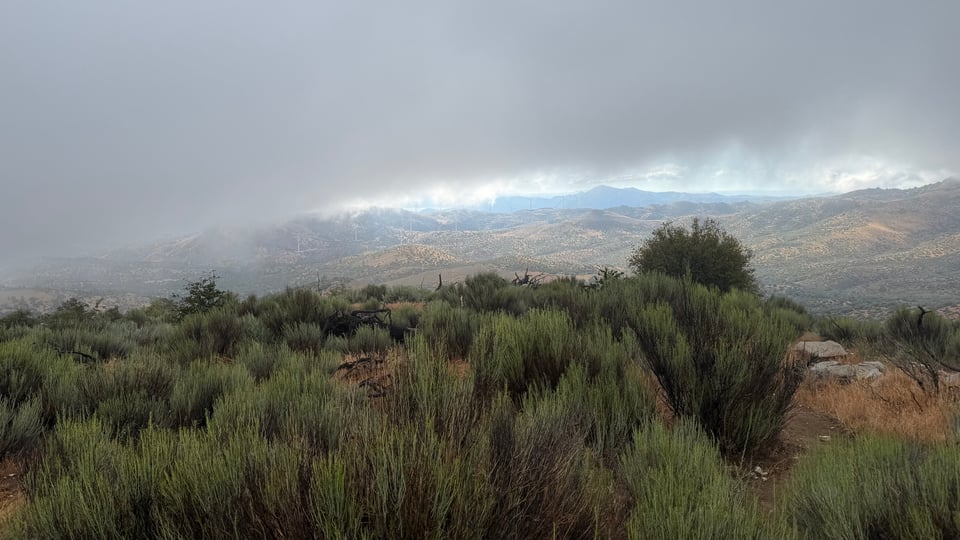
I take my first rest day in the charming alpine town of Idyllwild. By the time I return to hiking the San Jacinto mountains two days later, the weather has turned, and I walk through thick fog most of the day. I wake up to a heavy dusting of snow after camping above 9,000ft. My phone starts to fail, so I ask my brother to pick me up to go get a new one. I take three days off at the house his startup is renting in Los Angeles to bathe, lounge around, drink matcha, and eat 1/3 of costco's entire stock of ice cream. I even catch a DJ set, my brother’s not so secret talent, which is always a pleasure to witness live.
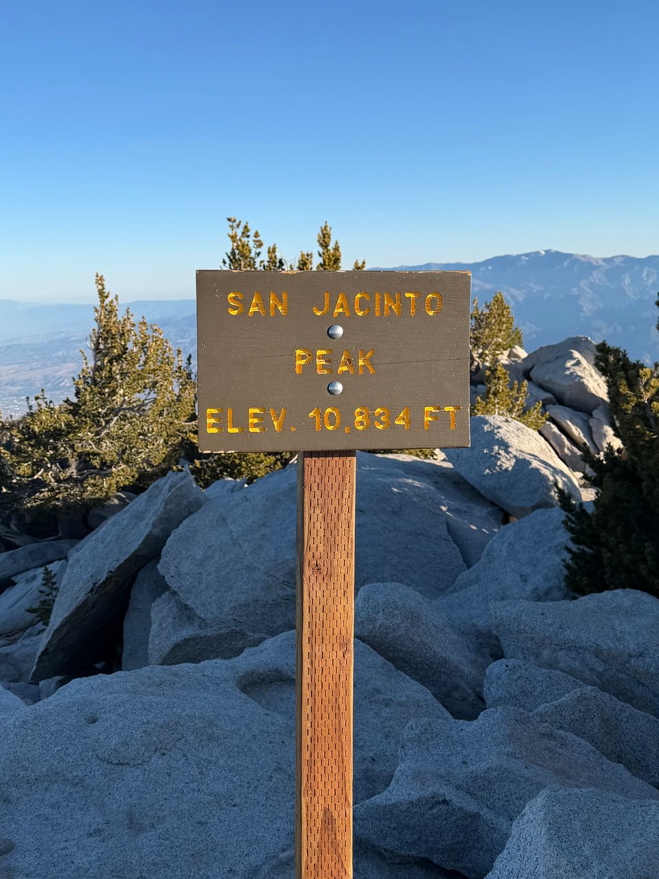
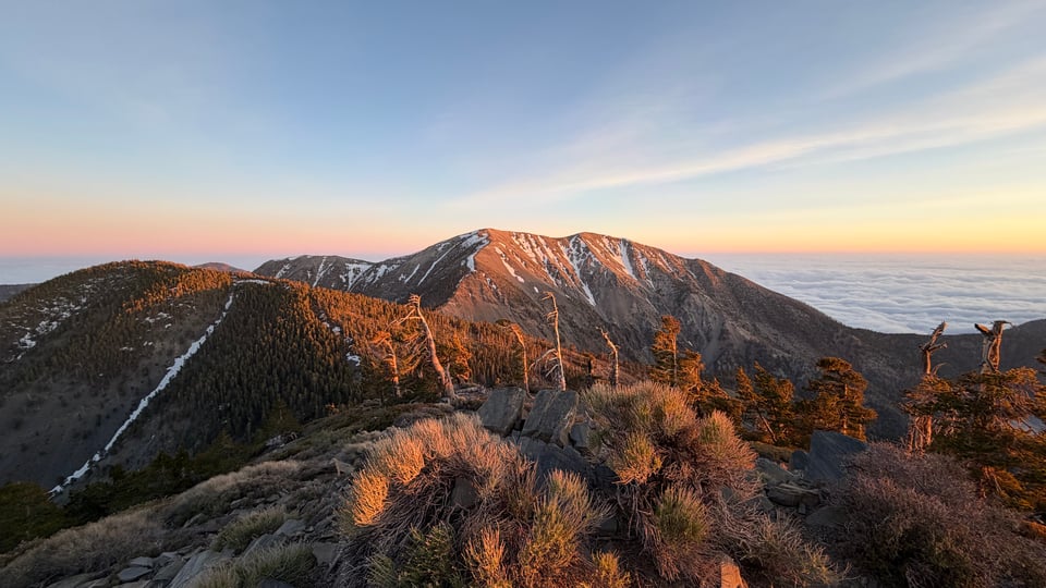
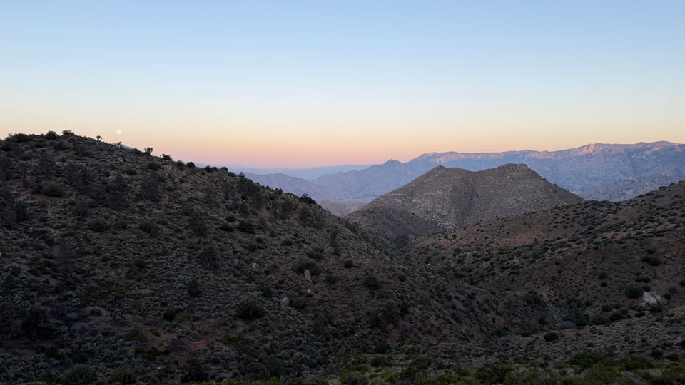
I return and climb Mt. San Jacinto, this range’s high point. I intend to make it up for sunset, but with 14 additional pounds of food on my back, I run out of gas 1 mile short and camp near the summit just above 10,000ft. For the first time in 5+ years I feel thoroughly out of breath. Luckily the weather is clear, and I make it up just in time for sunrise the next morning and take my sweet time enjoying the peak. From here I can see Palm Springs, suburbs of San Diego, and even the smog layer from LA.
What lies ahead is a comedown from hell. Brush, growing onto the trail, scratches and pokes my legs. Dust coats every available surface. I descend, and descend, and descend, all day, and then almost all of a second day. It never ends. About 8,500 feet in all, it is incredibly taxing, and the switchbacks are monotonous.
As I get closer to the valley floor, it heats up and water becomes scarce. Under the I-10 underpass, some volunteers pass out hot dogs and soda, more “trail magic”. I gorge myself on junk food, already chronically short on calories due to the 6,000+ I burn each day. It’s great but I can’t stay. I tear myself away from the oasis, nobody follows. I wonder if I am stupid to continue now, if I should wait. But I go anyways.
It has reached 106F/41C by 11am. No trees here means no shade. Bushes and shrubs provide as much cover as chicken wire, which is to say, none. The hottest day so far, I try to lean into the pain. I put on my hot weather playlist, double up on my electrolyte mix, lock in, and pass a dozen people or more who have been flattened by the heat. I know this is not a competition or a race but it still feels good to make progress while everyone else around is stalled.
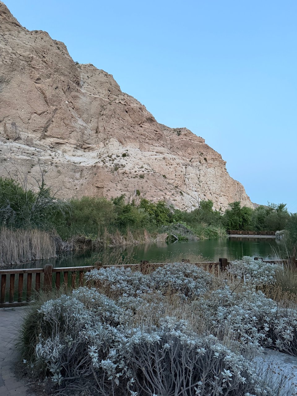
I camp at the charming and well kept Whitewater Preserve 0.5mi off trail, enjoying the free camping and beautifully landscaped garden—check them out if you are ever in Palm Springs.
It’s good that I get a solid night of sleep since the next day is a new Hell.
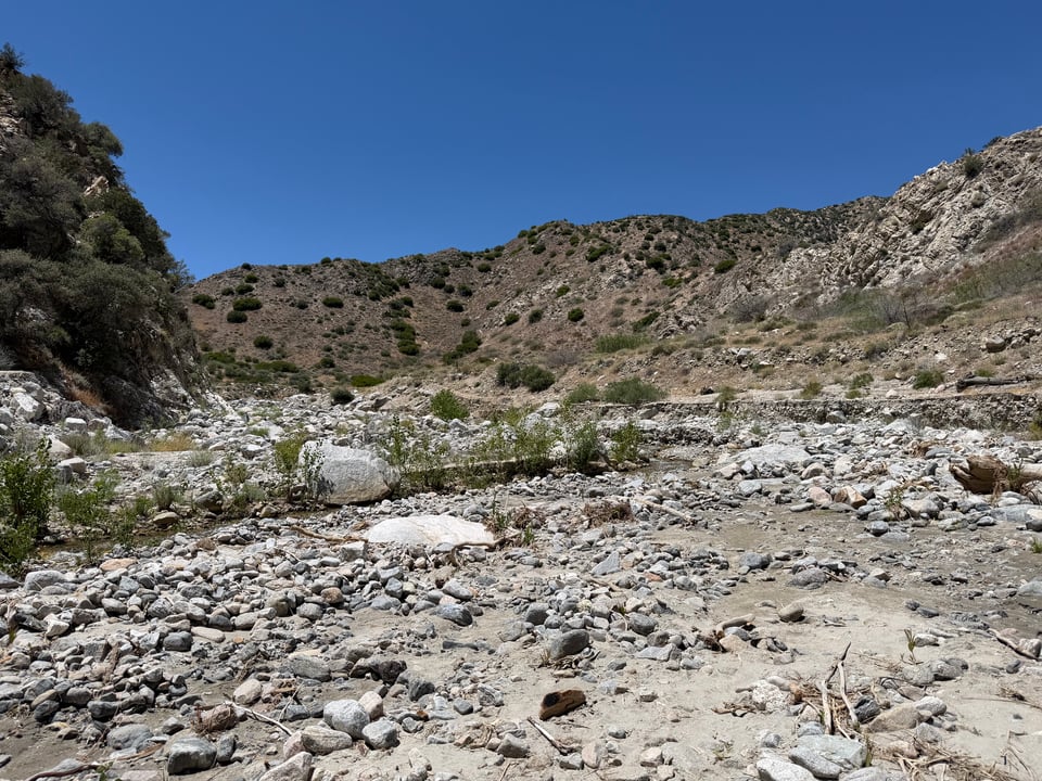
At Mission Creek the whole trail has been completely washed away in a storm some years ago, leaving a 12+ mile stretch of giant rubble and unstable debris. Rocks, dust, and slippery mud. No shade. It is not dangerous or difficult per se but mind numbingly tedious and taxing to the brain and body.
Worse, I am completely alone, picking my way through the strewn rocks all morning and in the heat of the day. I am not sure how many house-sized boulders and car-sized fallen tree trunks I can keep climbing over. Every pair of socks I own are soaking wet. On the other hand the only way out of this is through. Just when my sanity was beginning to slip, I run across a pair of hikers. They are fast. More of their friends join. I stay in tow. I’m saved!
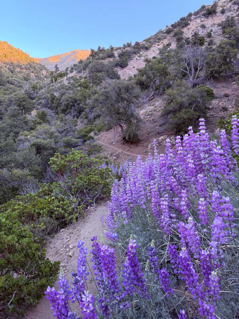
I camp with them, and in the morning I hike out, with one of their group joining me. We are surrounded by lupine in full bloom. We have transcended Hell, looped back around, and reached Heaven.
Cruising at almost 4mph, we breeze through miles very quickly, elated to be on solid, smooth ground again. As we climb the weather cools, and I barely notice the uphill. I am so happy to finally have found someone at the same pace as me. Faster than the typical slow plod but not breakneck. It’s hard to tell but he probably has a decade on me, with highly customized and obsessively well-kept gear. We talk a lot, about the badlands of Utah, seam sealing, doing big miles, wielding chainsaws for trail maintenance, designing and sewing your own gear. He made his pack entirely by hand (!!) and I am thoroughly impressed.
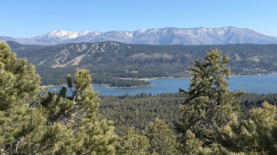
Before I know it we are at the city of Big Bear, and I have hiked 35 miles, my biggest day so far, and my feet barely hurt. I actually feel great. I could do 35 more. My people are out there, confirmed. We are an unusual bunch even among the already crazy people who decide to start the trail. My people are out there, and even if I am momentarily alone I know if I am determined and keep putting in the miles I will find them.
Part 4: special edition: food
2026.05.16 — original post
One of the big questions I get is - what do you eat out there?
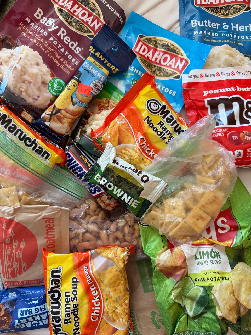
People who know me in normal life may be surprised to hear the answer is basically “pure junk”.
It comes down to your priorities. I want to carry as little weight as possible. I want variety. I don’t want to worry about cooking and doing dishes. I want to be out there hiking big mileage and enjoying the views! Because of these priorities, I choose food with the maximum amount of calories per gram of weight, and which require little prep or cooking, best if I can eat them while walking.
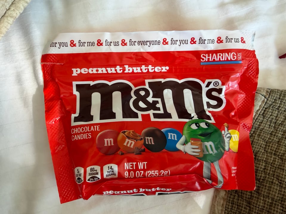
As for the weight, fats have 9 calories per gram, while carbs and protein each have 4. Water has 0 calories and is very heavy, so anything that contains water is basically a no-go, ruling out all fresh fruit and vegetables, breads, and most other “normal” foods. It follows you should prioritize foods high in fats to minimize weight. Nuts are king here, and while they are actually NOT an especially good source of protein (more on that later), since they are mostly fat, they are very weight efficient. Fried chips, chocolate, crackers, cookies, and candy are also great here.
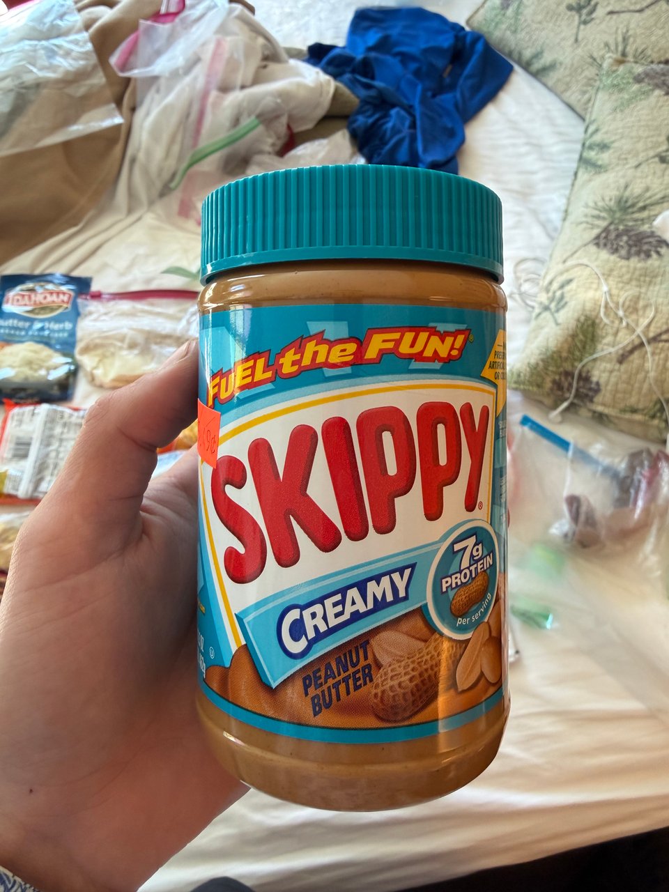
Sugar, which some people think would be king, is twice as heavy per calorie as fat. I try to avoid it for that reason and also the typical reasons, though it is tough to fully eliminate and can at times be good for quick energy. Some people bring a supplemental bottle of olive oil to add extra calories but I am too afraid to do that since I know I would eventually end up with it exploding or leaking inside my pack. A jar of peanut butter (the artificial kind that is fairly solid and does not “flow” or leak) is almost as good and seems less risky to me. This Gear Skeptic video has great info on the subject and a spreadsheet with calorie per gram values for those who want to know more.
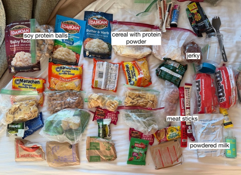
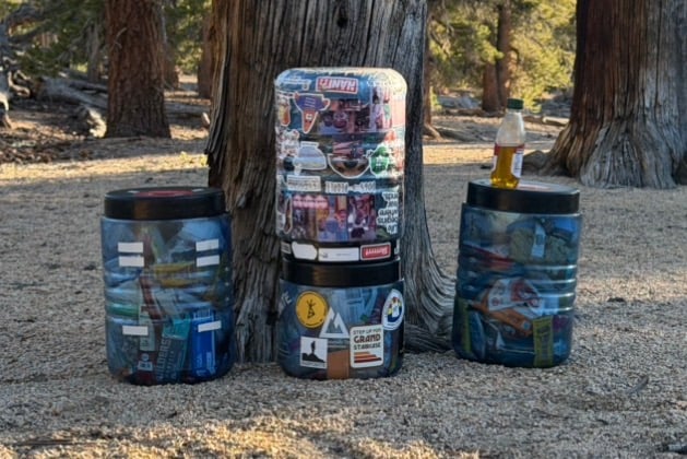
I don’t have a cook stove, and instead “cold soak” in a plastic jar. The name is somewhat misleading, as there is very little actual soaking involved. I am impatient and hungry at the end of the day. I pour a package of instant mashed potatoes in with water and can eat it within 2 minutes. Honestly it tastes A-OK especially if you just hiked 30 miles. Oatmeal soaks overnight, I prepare it when I finish dinner so it is ready in the morning. Some people get fancy, soaking beans or couscous all day etc, but I am here mostly to hike so don’t bother with that. It is usually hot out, but even when it’s cold, I find that I do not mind this system, usually just glad to have food in general.
Traditional “backpacking meals” are fairly rare out here. Not only because of the price, with many being $15+ each nowadays, but also since they are not always stocked in towns. They also must be cooked or reconstituted with water, with many taking about 20 minutes. I am not sure I could stomach knowing I was eating $90+ of food per day, or wait that long every time I wanted to eat. Fuel cans for stoves are also hit or miss to find, sometimes being out of stock, not stocked at all, or with eye-watering prices like $30 for a small can. I will stick with my peanut butter cold soaking jar for now.
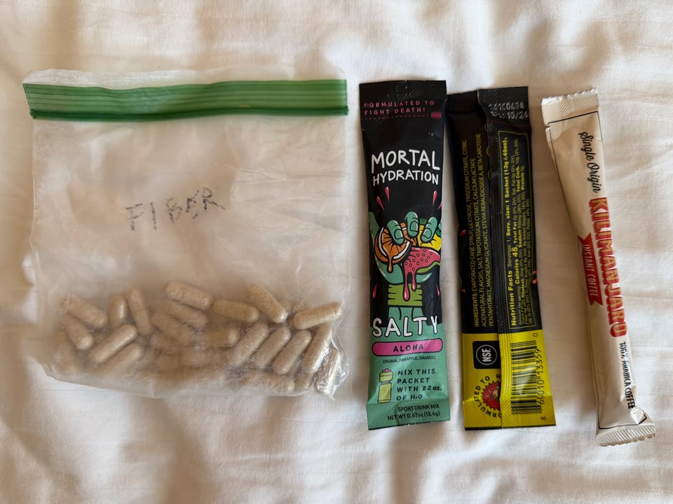
I learned that apparently my ramen habits are unique. In the desert, you sweat so much that in order to maintain performance in the heat you need to consume lots of electrolytes (primarily salt). They are key to maintain energy and coordination over long hours of doing endurance sports especially in hot weather, something I learned the hard way as a runner. So now I do not mess around anymore. I get some from specialized electrolyte packets. But there is another good source of salt. My 11am snack is usually ramen, where the normally concerning sodium content now works to my advantage. Water is scarce and I want to waste no daylight so I eat it as follows. Crush up the ramen in the bag, pour in seasoning, shake, eat with a spork like chips. And wash down with as much water as you can afford.
The hardest macronutrient to source on trail is protein. I have found some extra things to add to meals. Unfortunately most types of nuts are about 80% fat in terms of calories so they are only marginally useful here. Things like dried milk, jerky, soy protein balls (tvp), and protein powder in meals help me get enough. Also notable are things like dried refried beans, ramen, and crackers which are mostly carbs being grain-based, but have a non-negligible amount. Other foods have marginal amounts, but since the quantity I eat is large, they become another significant source when combined. I am probably not getting the optimal amount of protein, but I am at least getting the minimum requirement.
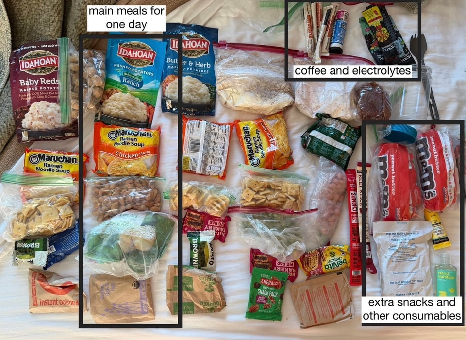
A sample day of eating is something like oatmeal and coffee for breakfast with some peanut butter, mid morning ramen, 3-4 large snacks of 300-500 calories throughout the day, and instant mashed potatoes with soy protein or a side of jerky for dinner. And some more peanut butter before bed.
The options to resupply i.e. get more food also make things difficult. Some towns have grocery stores, while others have basically only gas stations. The logistics of mailing yourself food in boxes is very complicated. Packages get lost. Post offices are open only weekdays in some towns, often with hours like 11am-4pm. If you arrive at 4:01pm on a Friday you just lost almost 3 days waiting for your box. You may no longer enjoy the foods you liked before the hike and shipped yourself. In my opinion it is better to take what you can get. I am largely taking my chances and seeing what I can source locally, with a couple boxes here and there.
“Hiker boxes” are another essential piece here, where in towns there are large boxes or bins where you can leave anything you don’t want. There is inevitably food in them, but it is very hit or miss. I have gotten some great hits so far though, as well as other essentials like sunscreen, toothpaste, and ibuprofen. I even found a brand new pair of my favorite brand of socks in my size.
Mostly the hardest thing is eating enough. The bottom pocket on my pack helps to keep snacks within reach at all times, but it is a constant struggle since it is not trivial to replenish the approximately 6,000 calories burned per day. And carrying more than my typical 1.5-2 pounds of food per day is incredibly heavy. As I go on, I have heard the “hiker hunger” will set in and it will become easier to eat more.
As for supplements I take fiber pills, instant coffee in the morning for caffeine, and electrolytes each day. So far I have no GI issues, feel adequately nourished, and have energy to bust out a 35 mile day when I want to. I eat lots of real food - salad and meat and ice cream when I am in town. Of course I am constantly working on being better and honing my food choices, but so far, this is my basic setup. If you have interest in a deep dive into another topic, let me know.
Part 5: alone & together
2026.05.20 — original post
It’s been only a few days since I was in town, because I am picking up the pace. It feels good. I feel strong. I hiked Big Bear to Wrightwood largely solo, did some introspection, and got some fantastic peaceful rest in town. It’s been a good week.
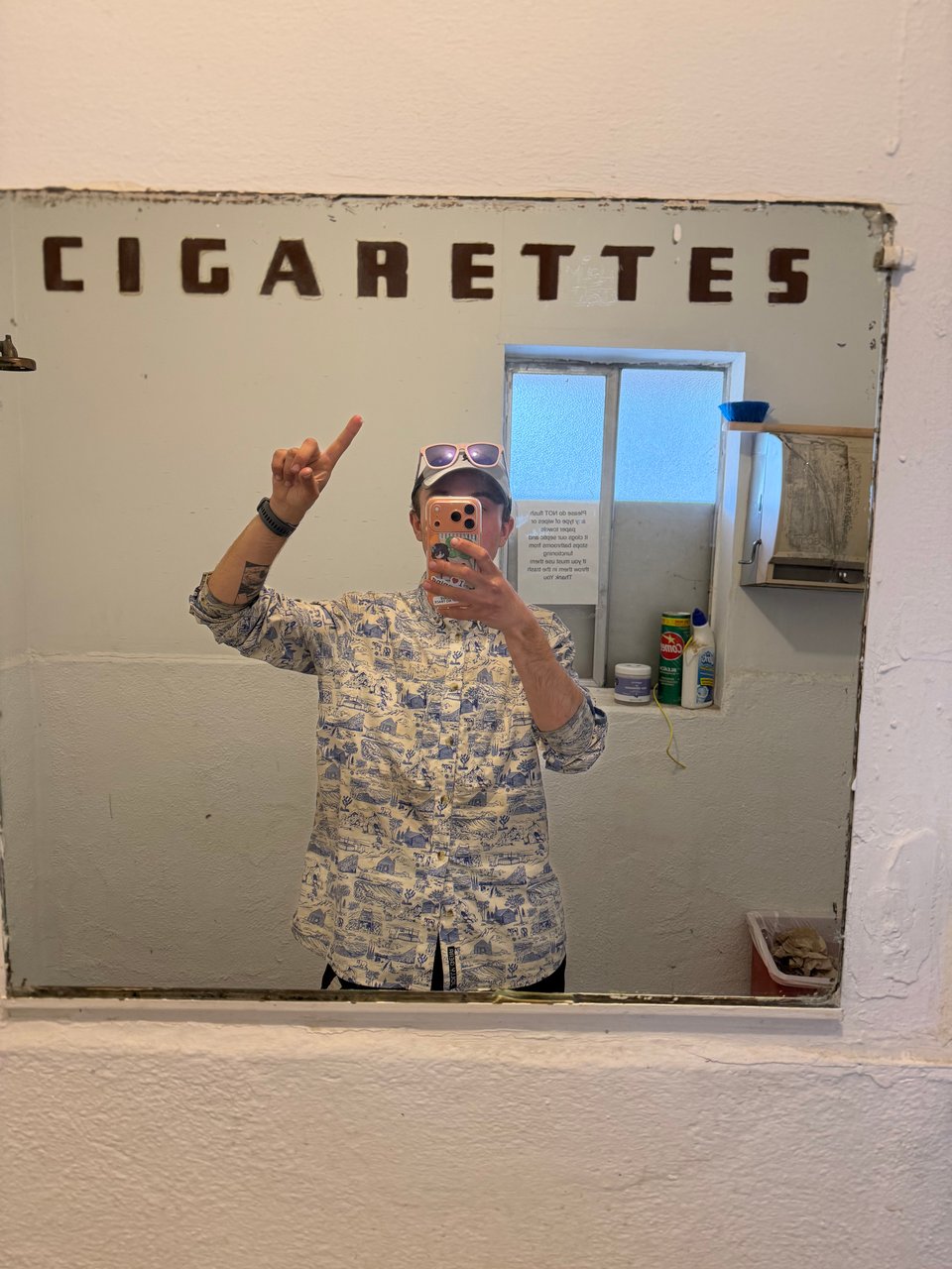
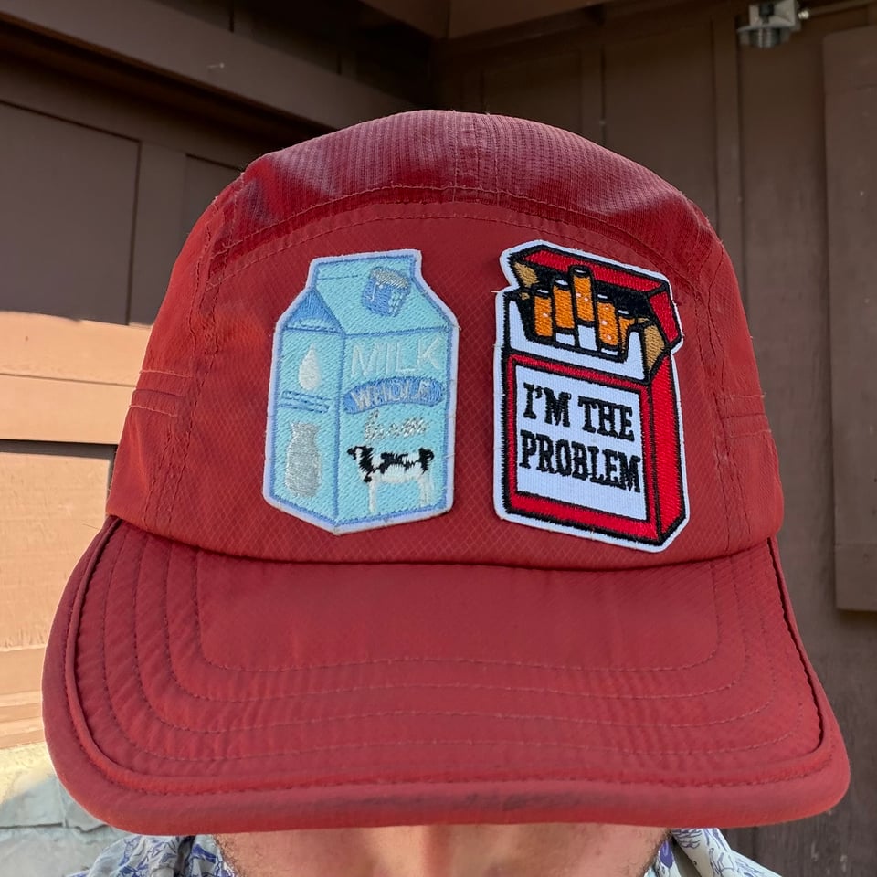
This week is also special because I receive my trail name. I am christened “Milk and Cigarettes” by my good friend Liminal. Trail names, essentially hiker nicknames, range from silly to perplexing. They are so ubiquitous that you may know someone for hundreds of miles and never learn their real name. Generally they arise from a mishap, unusual act, or personal idiosyncrasy. The best trail names capture some of the essential quality of the hiker.
Anyways, I am “Milk and Cigarettes” because much like the absentee fathers of yore, I am apt to walk away on a minor errand and never be seen again. The Old Irish goodbye. I can’t argue, it’s true. It’s in my nature to disappear. Sometimes I just have to go.
After a late start I leave Big Bear in an inexplicably depressed mood. I am more off-putting than usual or necessary in conversations. It’s clear what my problem is. I need to let some miles rip. So I do.
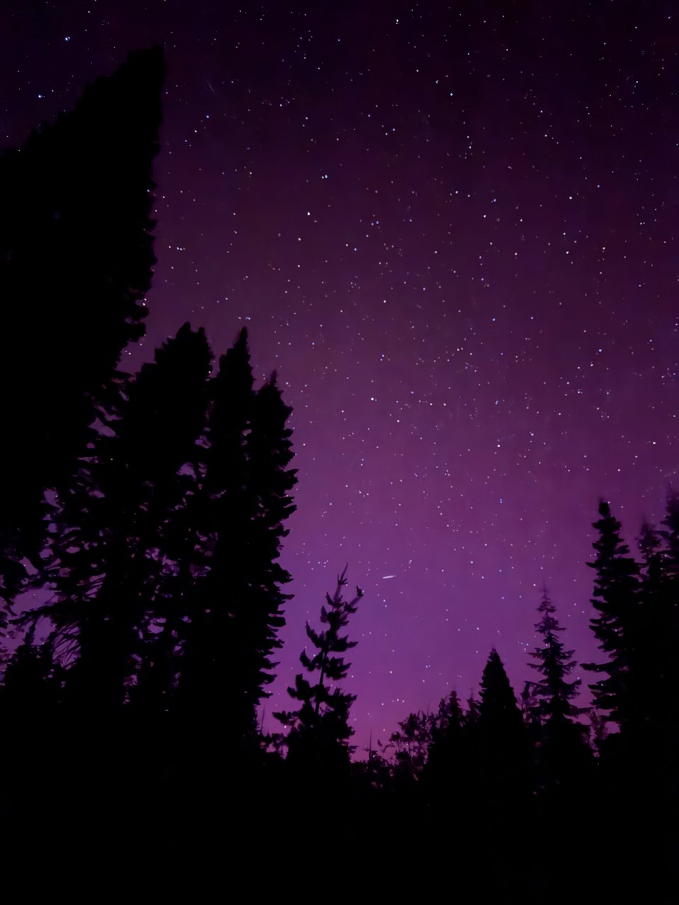
This is an incredibly beautiful and well-maintained section of rolling pine forests, more sparse than dense. I pass a veritable shantytown of durstons at mile 20 of the day but my legs want to keep going. I hike through dusk and a little nighttime, before finding an unmarked perfectly flat, windless, bugless, quiet campsite with the most beautiful view of so many stars. I’m alone again, but this time it feels okay, familiar, even comforting. My own presence, just being here, is enough. I’m a little sad everyone else always pitches a tent, because the stars are really so lovely today.
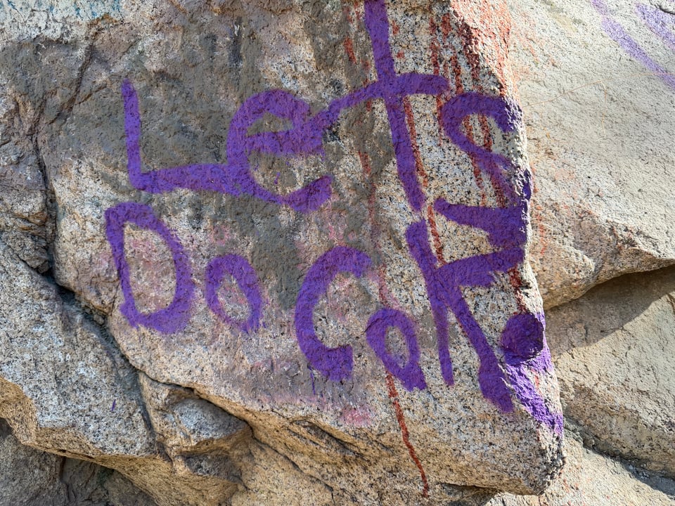
Another big day follows. I aim for 30 miles and do 27. I pass by some natural hot springs, which I had been excited for, until I saw the sickening green color, algae, and rumors of norovirus and flesh-eating bacteria. Pass. This is a popular destination for people from nearby cities and the graffiti is clear evidence.
I briefly reunite with Enema Boy and High Tide (aren’t trail names fun?), before continuing on my way alone. Today I miscalculate the distance to a water source or get distracted, or something, because before I know it, I have 10 miles to cover with just half a liter of water left. The sun is blaring, it is in the 90s. But it is not my first rodeo anymore. An unpleasant walk, but I am used to this now, so just try not to drag it on longer than necessary.
I camp on a windswept ridge with a 360 degree view of the surroundings, my kingdom stretching for miles.
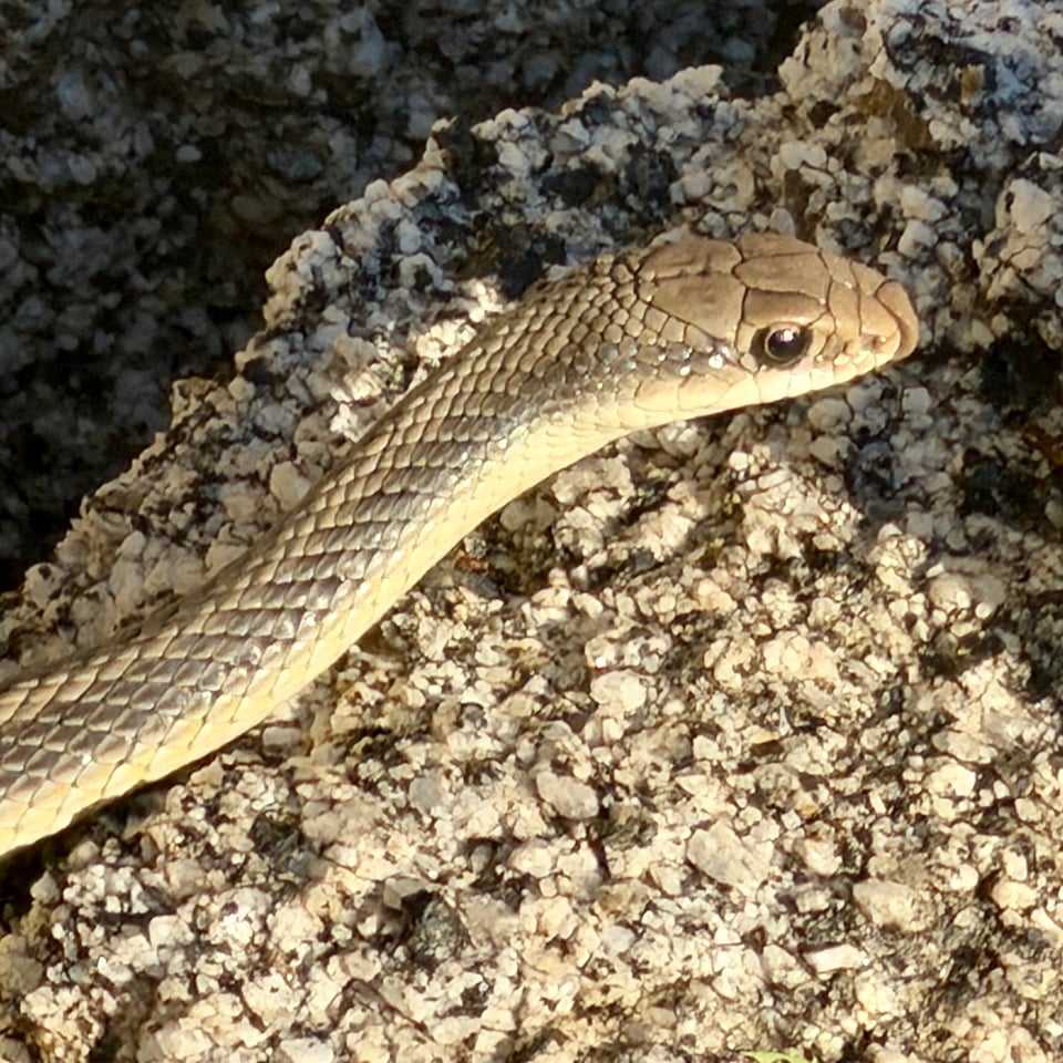
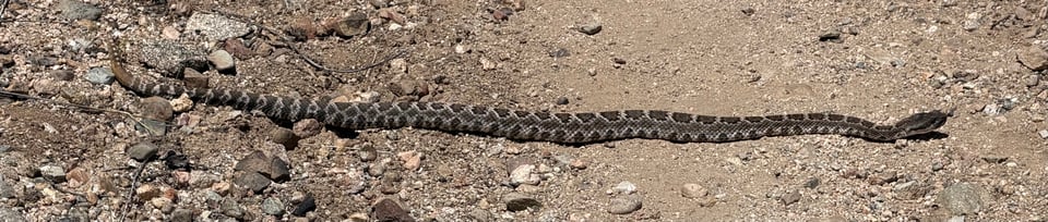
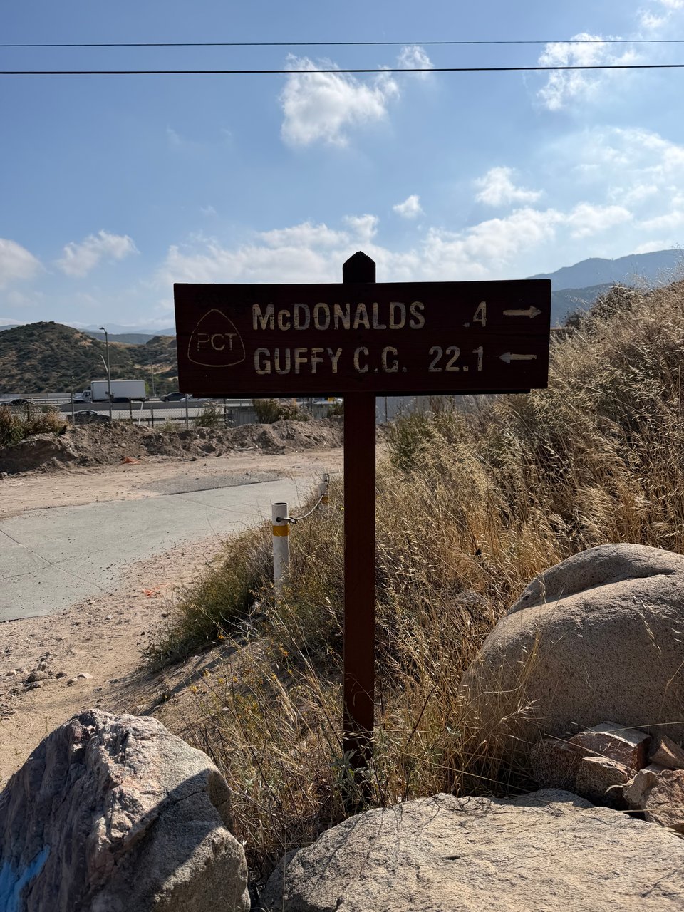
Today is a special day. We cross within ~0.3 miles of a McDonald’s, the only time on the whole trail this happens as far as I know. It’s 25 miles away from where I camped but it goes fast. I see literally no one today. The only soul I run across is a baby rattlesnake, my first sighting of the trail.
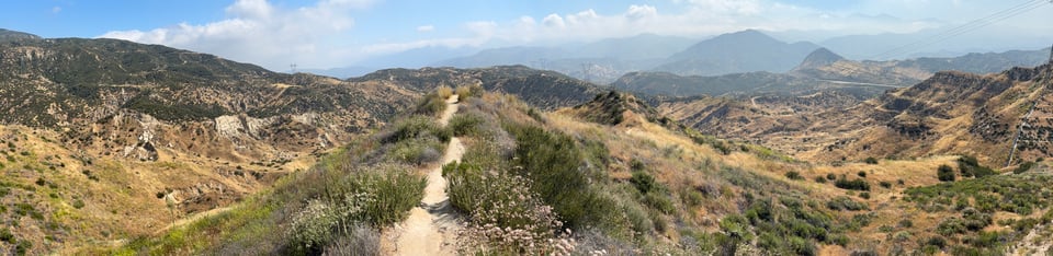
The chaparral scenery is roughly the same as it has been since Campo, with gravel, shrubs, and some poison oak around. Nothing notable until the last few miles of the day, where I finally take a turn and see a sweeping view of the valley. Cars, trains, houses, the trail crossing I-15, and Mt. Baldy hazy and snow-capped in the distance, whether from clouds or pollution I cannot be sure.
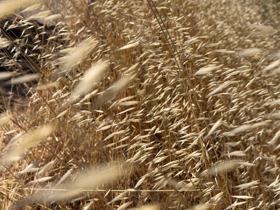
In the final few miles there are large rolling patches of golden grass waving in the wind. A classic scene of my childhood, so nostalgic, I missed it badly during my east coast years. I am finally home for good, not on vacation, or visiting, but home. Finally home.
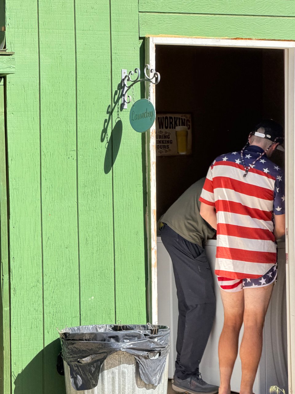
I finally make it to the McDonald’s, where the food is expectedly average. I am reminded why I never usually eat here. Mostly I am elated to see other hikers I know. I meet up with Captain America (all of his gear and clothes are American flag themed — he is actually a very chill guy and fellow ultrarunner) and we hike a couple miles onward until we find a perfect flat spot to camp just as it gets dark. We had found some spots earlier, but the noise of cars from the freeway was still too loud there, we both agreed.
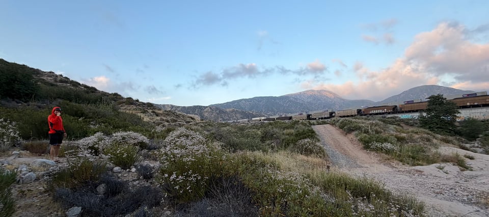
The spot was a miraculous find, and we begin to set up camp, pitch tents (pitch my groundsheet lol), eat dinner. A few minutes later it seemed like the ground started to rumble, getting louder. Earthquake? But no, it kept coming. Forget vague car noises from the freeway, we have camped just feet from an active freight train line, blaring horns and all. It is so horrible I start laughing involuntarily. Just my luck. We both say “can you believe this shit?!??” to each other in unison. Or I think that’s what happened, because it was too loud to really hear anything except rumbling and honking. We are too tired to hike onward however, so train noises all night it is.
There is a massive climb out of Cajon Pass, 7,500 feet, and I challenge myself to do it as fast as possible, without stopping. It is not very steep, but incredibly long. Aside from a short break to pee, I am successful. By the top, I feel cooked. Well done. Medium brown crust. Over-crisp. But proud. A new record, I climb over 8,200ft that day and feel overall very strong.
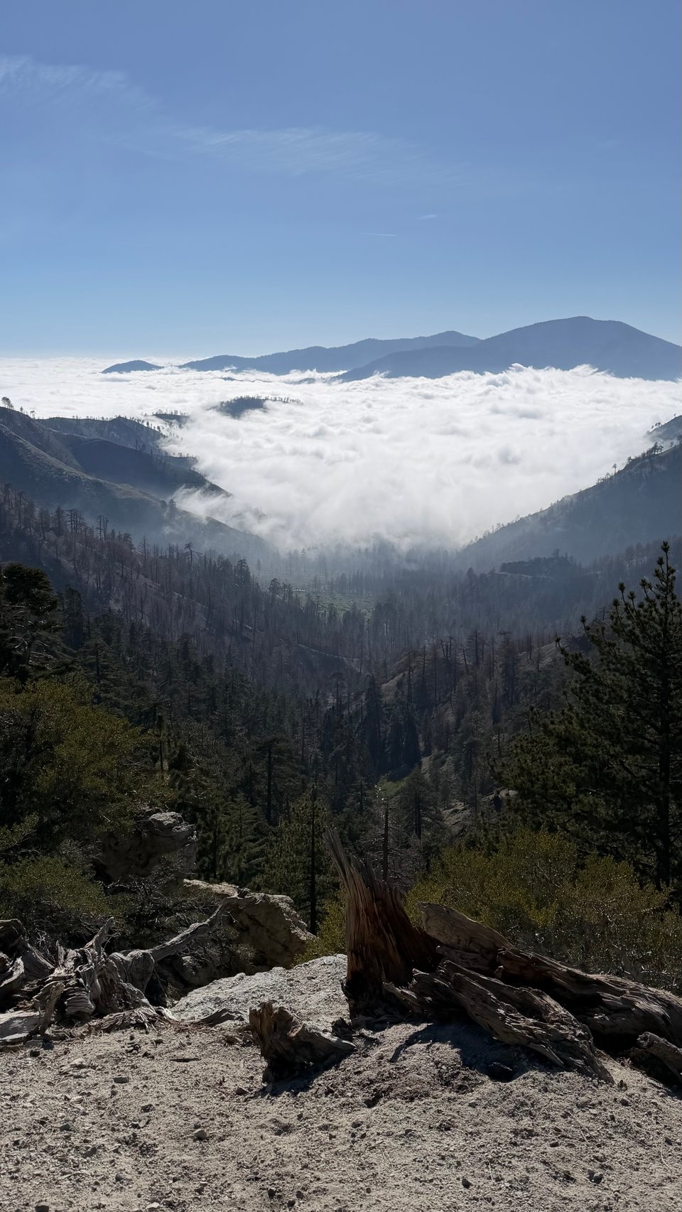
I find a ridge with a view of the cloud layer below and set up my sleeping bag for a nap, it is cold here at altitude. I keep staring at the mountain across from me and finally decide that I NEED to climb it. I have to backtrack 3 miles of trail, and people I run into repeatedly ask if I am lost, but it’s worth it. The mountain is Pine Mountain, adjacent to Mt. Baldy.
I begin the steep, treacherous ridge walk, with mini-rockslides being born with each step.
Halfway up, I run into Bender and Goodwill, who hiked the trail last year, and are returning to normal life tomorrow. I get lots of beta on the passes coming up and listen to Bender’s crazy mountaineering stories until it gets dark and freezing cold on the top of Pine Mountain.
In the morning, they decide to continue on to Baldy, and I decide to go to town because my legs are not in top shape. I know I could get UP safely, but getting DOWN is another story. It’s hard to call my blue blaze early, but it was the right decision, and I spend the rest of the day eating pizza and relaxing with trail angel Liz’s beautiful dogs.
Next I will head to Agua Dulce, where I plan to make a more brief stop. More “real” desert is ahead and I can’t deny I am excited to bake in the heat of sun again.
Part 6: hikertown, usa
2026.05.25 — original post
I’ve been through two town stops since the last update, Agua Dulce and Hikertown. I unexpectedly reunited with friends who made the miles come very easy this week.
As long as it is, I have almost completed the Desert section of the PCT, and will soon enter the Sierra.
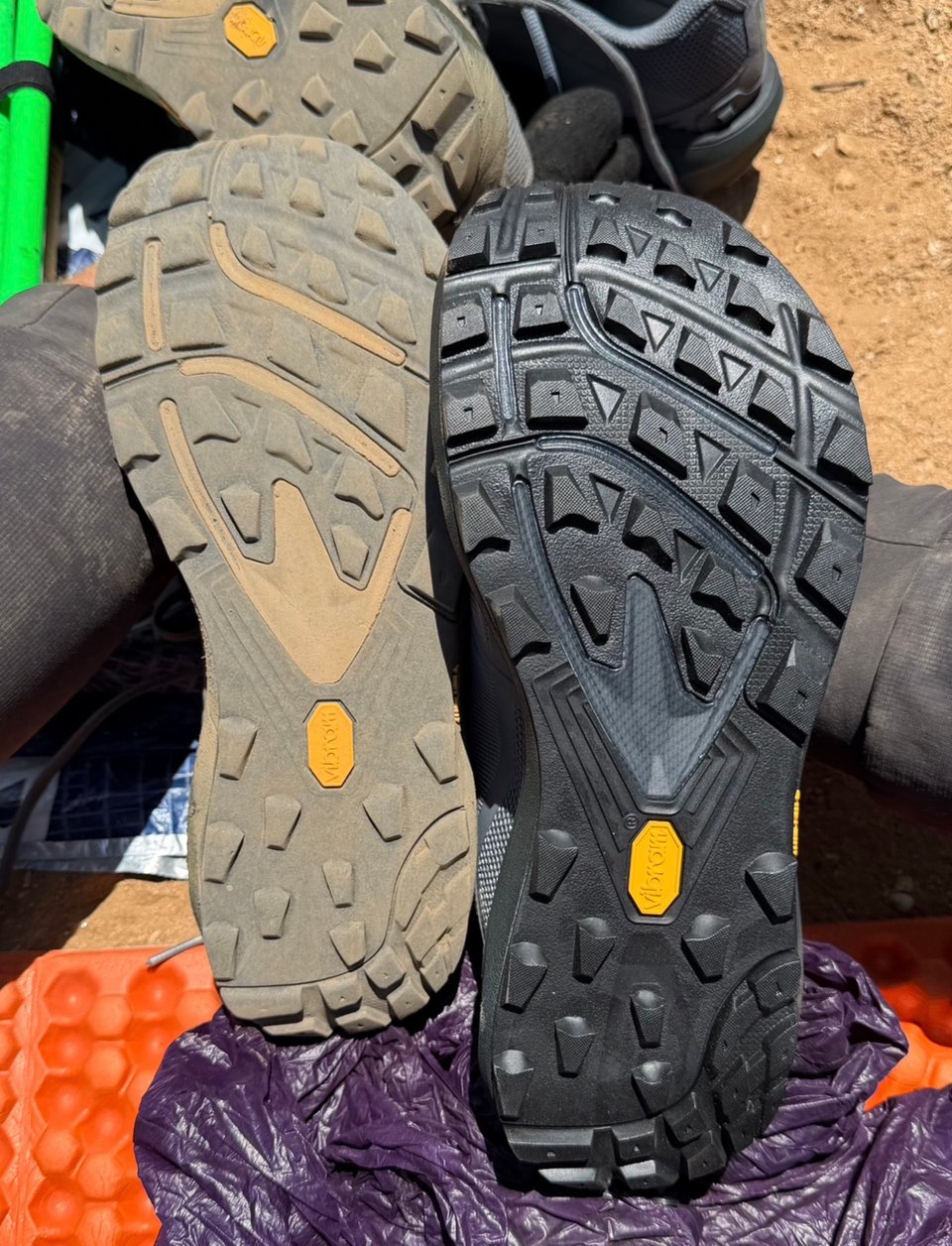
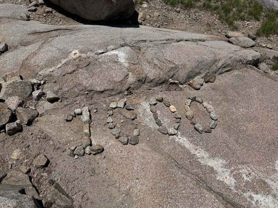
05/19 I leave Wrightwood with Enema Boy, Alyssa, and Dancer. My shoes are completely done and I can feel every rock I step on. The tread is smoother than a baby’s butt.
They have almost 800 miles on them, including some brutal races like Javelina Jundred and Devil on the Divide. They died suddenly and my feet take the fall.
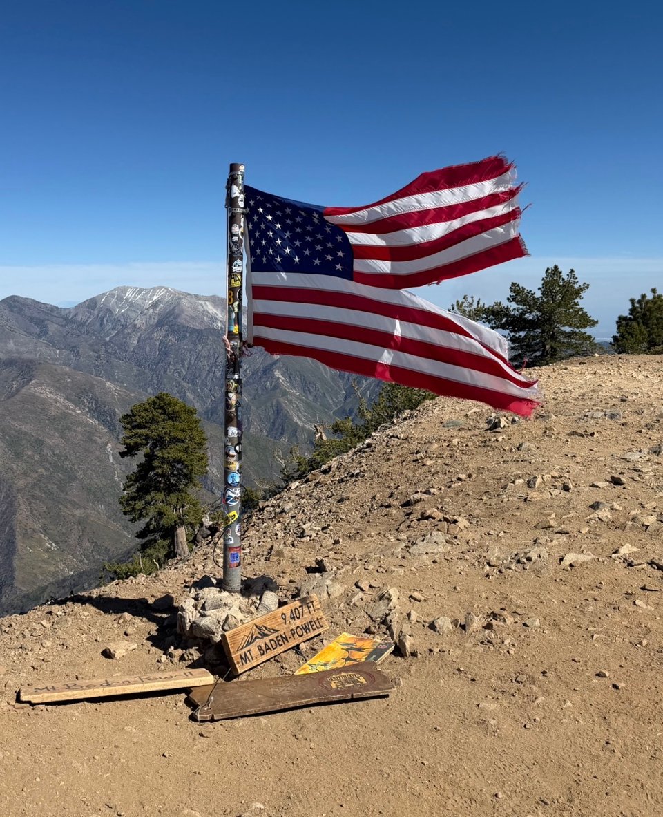
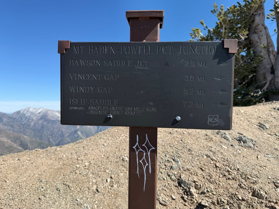
Just before we are about to climb Mt. Baden-Powell, I eat way too much pasta from trail magic, and pay on the way up. My stomach ties itself in knots. Near the summit I see a plaque related to the Angeles Crest 100 mile race, whose course intersects with the PCT, which I hope to run someday.
I judge (correctly) that nobody will be on top of the interestingly named Throop Peak (named for the founder of Caltech) on a Tuesday night, so decide to camp there early.
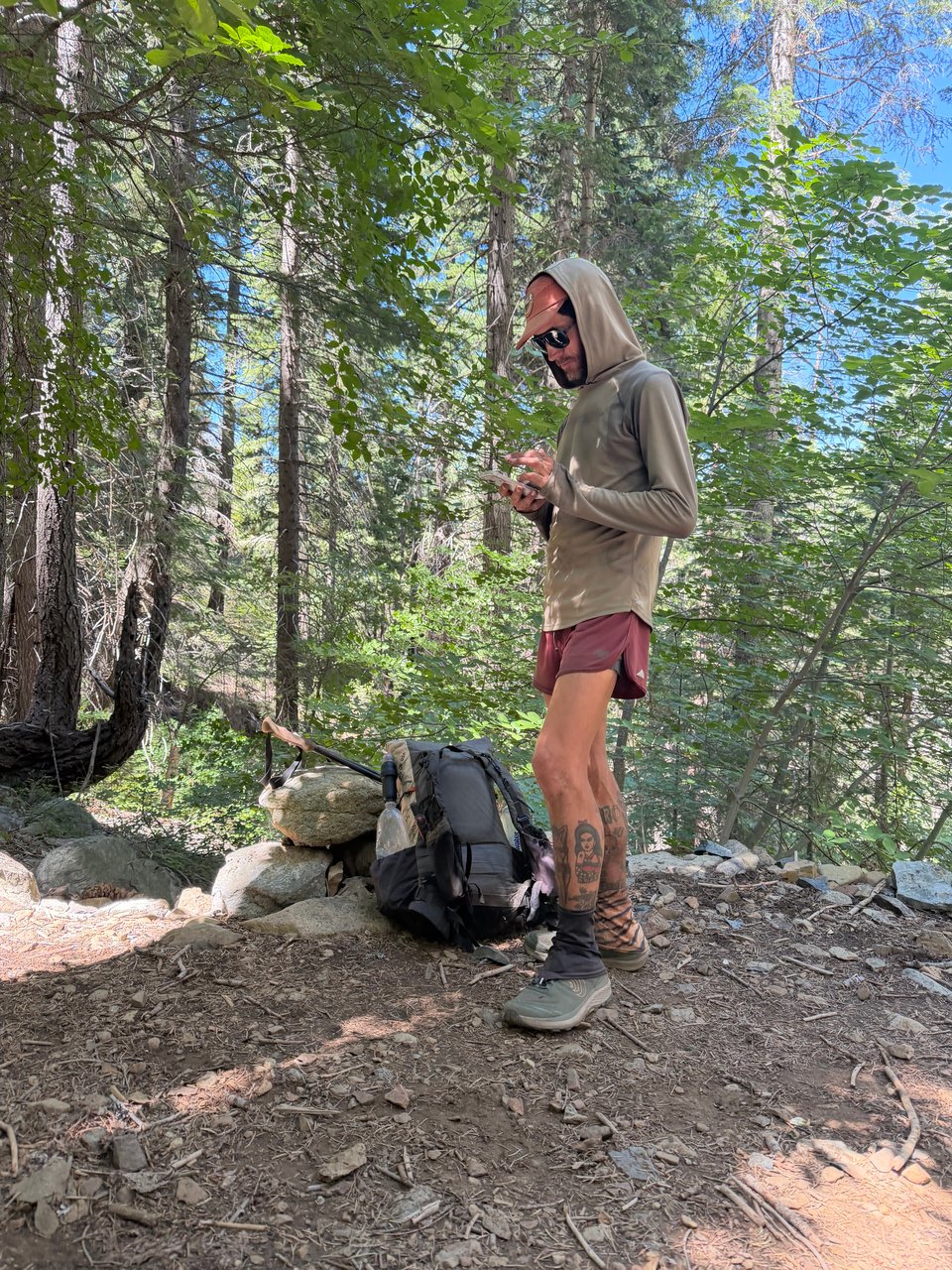
5/20 There is a trail closure due to an endangered frog species, so we need to walk on the road. I run into Dancer early in the morning and we take the highway for a number of miles, further than strictly necessary. Dancer has a strong norcal accent (hella gnarly, dude), speech inflections of a ___boarder (I later learn it’s snowboarder), charmingly idiosyncratic tattoo choices, and is quite stoned almost constantly but still putting down some serious miles.
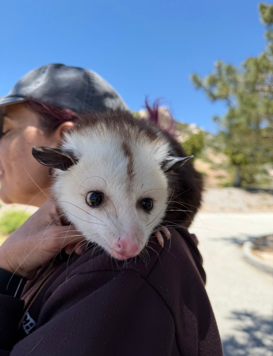
A fellow trail runner based in Auburn, we talk shop for a while (he wears a Pa’lante Desert and has a 7.5lb base weight, the lowest I have encountered so far), the book “Fixing your Feet” which he follows more faithfully than I do, and how to eat healthier out here. Later we run into trail magic where a woman has brought her pet possums to the trail. They are surprisingly well behaved and very cute.
I camp in yet another unmarked spot on a ridge and watch the sun set and rise in silence.
5/21 I hike mostly alone today. I see two rattlesnakes and two other snakes, but they are all courteous and move out of the way. It’s hot and I feel like I have seen these same bushes 1,000 times before. My shoes are beyond done and my feet hurt. I try to get as close to Agua Dulce as I can for tomorrow, where my new pair are waiting. By late afternoon my feet hurt so much that I decide to just run down most of the 3,500 ft descent. If it is going to be painful either way may as well get to camp faster. I cover 27 miles without too much difficulty despite my feet. I am getting faster, or at least, the miles are coming easier.
At the bottom, I start to set up my sleeping bag when all of a sudden I see a familiar face. Biscoff! I hadn’t expected to see him again. I haven’t done a 30 mile day since my hike with him into Big Bear. Every time he is mentioned it seems like people end the sentence with the exact phrase “…and that guy is ripping some serious miles”. I hope they say that about me someday. He is with Lea and Matthieu, who I hiked out of Mission Creek with. It’s good to reunite.
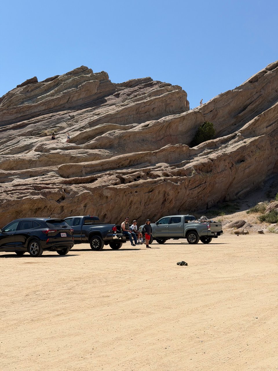
5/22 A short day into Agua Dulce. I wake up at 4:45am and hike out before sunrise since Biscoff doesn’t like the heat. We pass through Vasquez Rocks park, which served as the set of countless movies including many westerns and Star Trek. And there are for some reason llamas here.
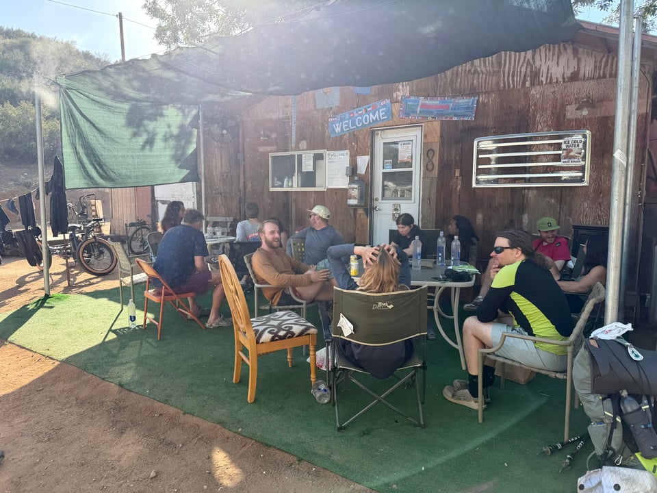
In town, we stop at a “hiker oasis” run by a calm and good-natured man named Farmer John. I am elated to take a shower and do laundry. It feels so good to be clean, and we are all in high spirits. Everyone gets new shoes today. Triple crowner (someone who has hiked all 3 major long trails in the USA) Monkey Man and his friend BaToNa (Back to Nature) fire up the grill and treat everyone to burgers and hotdogs, which I can barely get down after I consumed a pound of guacamole and multiple ice cream sandwiches earlier.
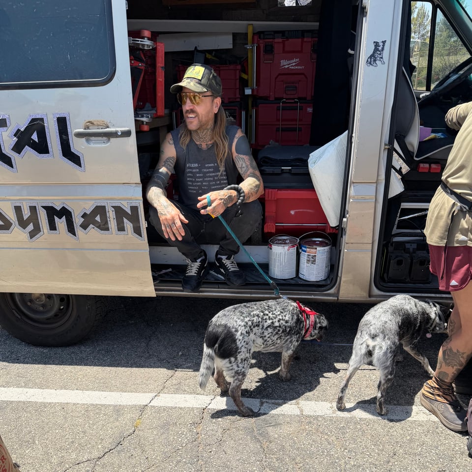
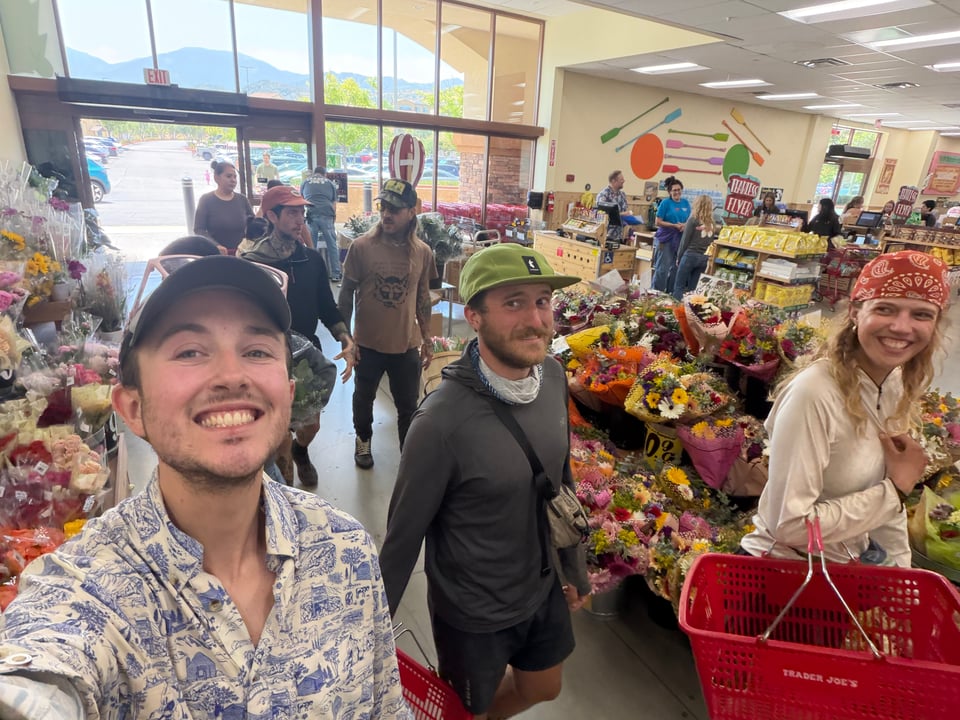
5/23 Biscoff’s friend, the so-called “Heavy metal handyman” who toured with various punk bands in the 90s as a roadie, and is also a longtime vegan, arrives with his van and dogs. We pile in to take the europeans to Trader Joe’s in Santa Clarita for the first time. They are flabbergasted by the excess of it all.
Later we head back out on the trail, towards Hikertown. Despite the name, this place has quite a shady reputation and I am glad to not be heading in alone.
05/24 On the Sunday before memorial day we run into some great trail magic: boy scouts serving burgers, fruit, and drinks. A girl named Maggie is running the show like a tight ship, taking our orders, keeping everyone in line, and we all ask for her autograph before we go.
5/25 Another early start with Biscoff, we do 27 miles. Today we pass the mile 500 marker, as well as the worst water cache I have ever seen.
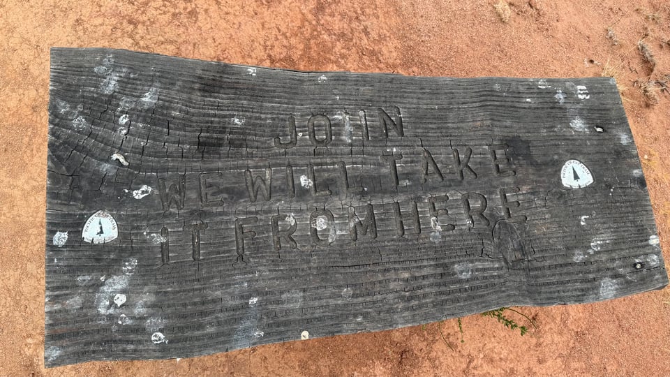
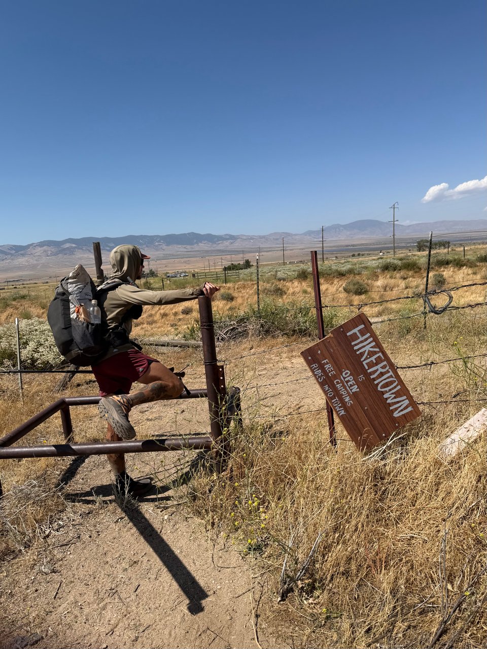
The sign for Hikertown is unfortunately indicative of the actual place. There is running water and flat ground to camp but almost nothing else. The shower, the primary reason I came here, is of course, broken.
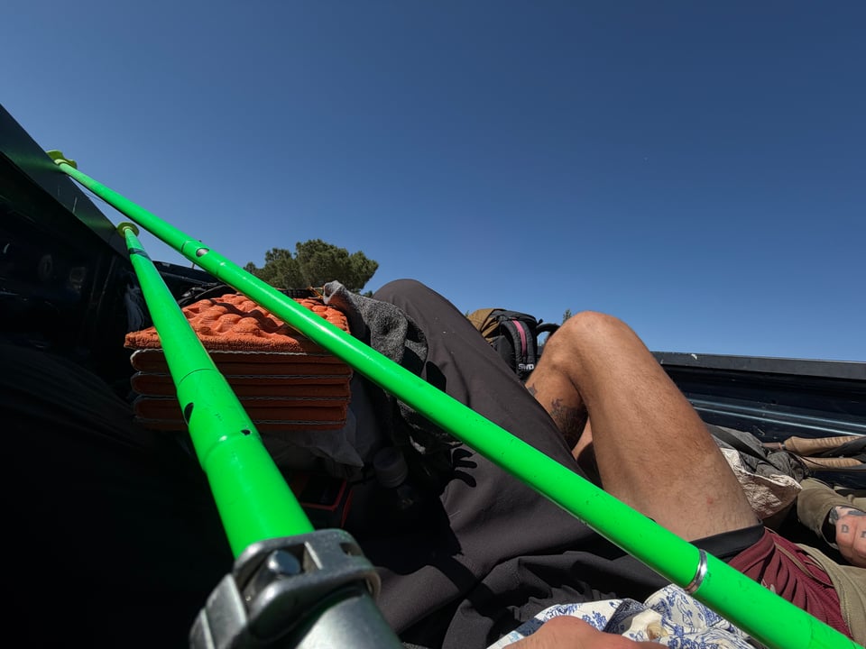
To get to the only store nearby, the two of us are shuttled into the open back of a pickup truck full of backpacks, then told to lie down 0.1 second before the driver hit the gas. Apparently the driver was telling the story of someone who recently swerved off the road here and died, and started demonstrating. It was an uncomfortable, bumpy ride, and the store sold little more than cans of soda and beer. Good thing we were not relying on it for a resupply.
Tomorrow, we will wake up early to hike the LA Aqueduct, then close out the desert through Tehachapi to Kennedy Meadows. With the first major section almost done, I am feeling good, and happy to be with a consistent group again after so much time alone. I finally feel like I am getting the hang of things, though I know there will always be a curveball or two when I least expect it.
Hiker special photo of the week:
Part 7: entering the promised land
2026.06.03 — original post
At long last, I have completed my first major section of the trail—The Desert—and have entered The Sierra.
5/26 Today we leave Hikertown to do the LA aqueduct. Normally hiked overnight due to heat, we elect to do it in the morning instead due to unusually cold weather.
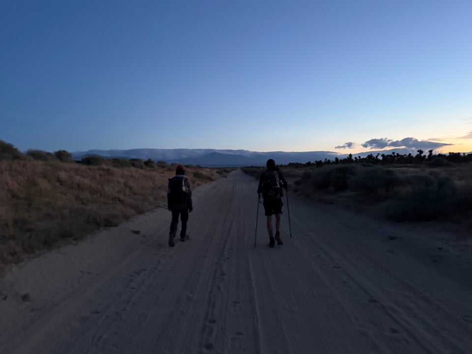
I am supposed to wake up at 3am but miss my alarm, because I wore earplugs to bed. Hikertown is loud, man. Luckily Biscoff wakes me up and waits while I scramble to pack everything. We head out around 4am. The actual aqueduct is nothing mind blowing, a metal pipe with spikes. Nearby we hear lots of dogs barking. It is cool and windy, a welcome change from days of heat. The terrain is hilly and windy—one of the largest wind farms in the world, apparently. We make it 32 miles and call it a day.
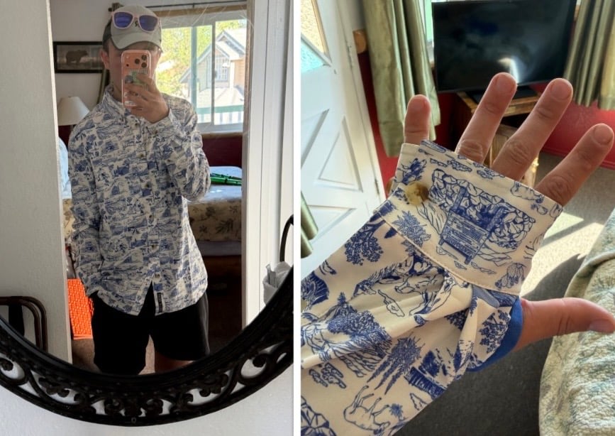
5/27 Just a scant 8 miles more and we arrive in Tehachapi. We eat breakfast at an all-American diner and take Eddie from Berlin to walmart for the first time. I buy some pretty short shorts at goodwill for $3. Now we have a tramily uniform. I eat far too much of a huge serving of pad thai, having the rest for breakfast the next day. It rains but we don’t care since we’re all warm inside the hotel.
5/28 Out of Tehachapi it’s still cold and windy, which I love but Biscoff hates. I suspect he may be able to complain his way through any possible situation. I love the long switchbacked climb out, and smoke everyone up the 4,000ft incline despite my heavy pack full of food. I have officially cemented my reputation as the fastest climber around these parts. I feel proud that my relentless training on the flat NYC streets can beat decades-experienced hikers and Coloradans alike. We arrive at camp just in time to set up shelters before the rain starts coming down.
5/29 It rains overnight and I wake up soggy and miserable. I can tolerate almost any conditions… as long as I am not wet. Humidity is my nemesis. Morale is at an all-time low. For once I join Biscoff in the complaining. We can’t manage a smile for a photo at mm 600. Every mile we keep saying “surely the sun will come out soon”, it doesn’t, not until around 4pm at least.
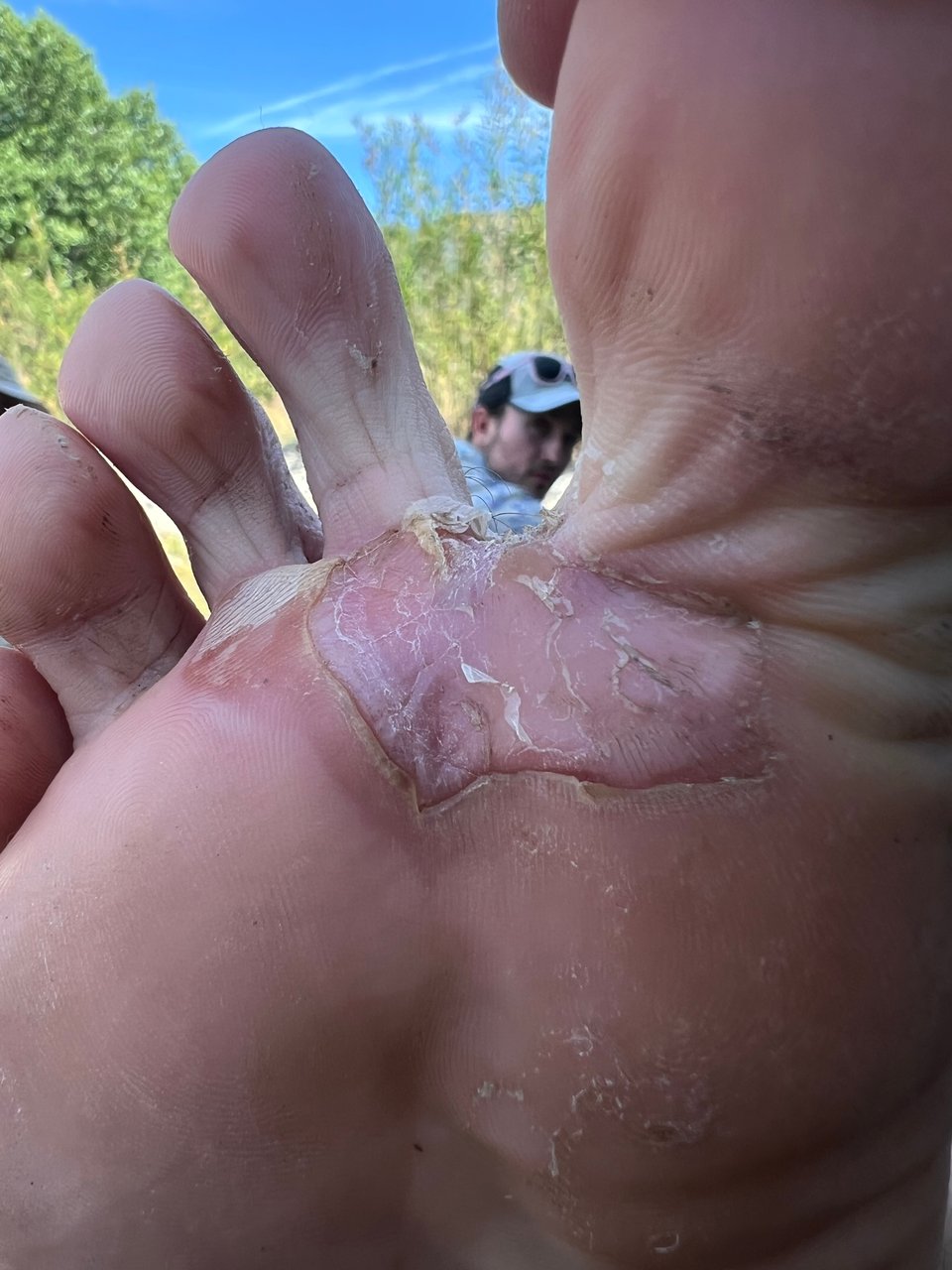
We run into Gucci from Colorado who serves us hot dogs WITH cheese inside the dog, wow what an innovation. That helps morale. My feet get shredded from being wet all day. Finally in the afternoon we approach some sierra-alpine-looking terrain, and the sun comes out. I camp with Biscoff, Eddie, and Captain America, and we have great conversation over our protracted dinner as we all try to reduce the weight of our food bags. I eat a pack of ramen, two protein bars, refried beans with plantain chips parmesan cheese and cholula, tiramisu oreo thins (SO good), two-thirds of a box of white cheddar cheez its, coconut flavored cashews, peanut butter, another protein bar, and some trail mix. It takes about 90 minutes, and I am not sure if I am hungry or full at the end.
5/30 One of the final typical desert days. We continue to cross the Mojave, running into the obligatory rattlesnakes. Aside from soda from trail magic, nothing really special today. We’re all excited for the Sierra, and talk about our plans for the next few weeks.
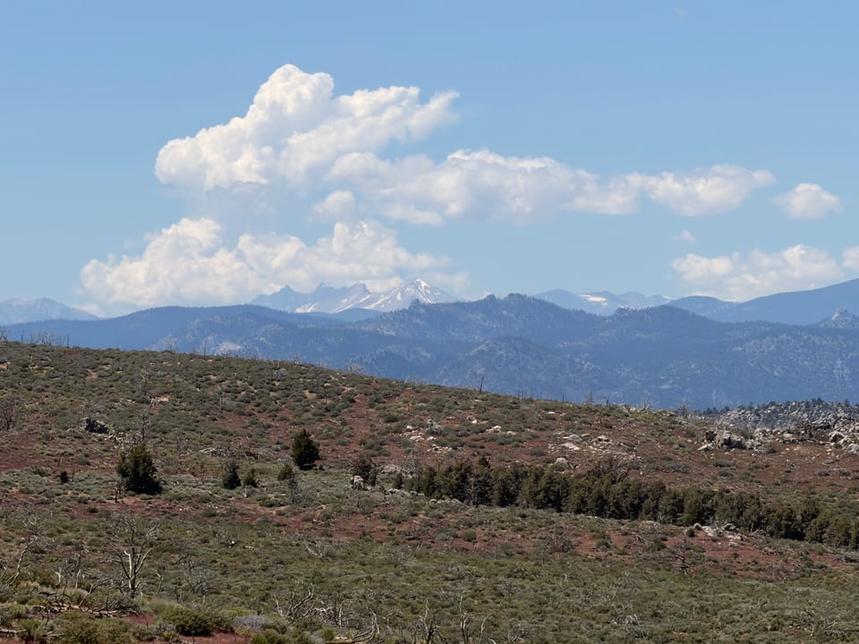
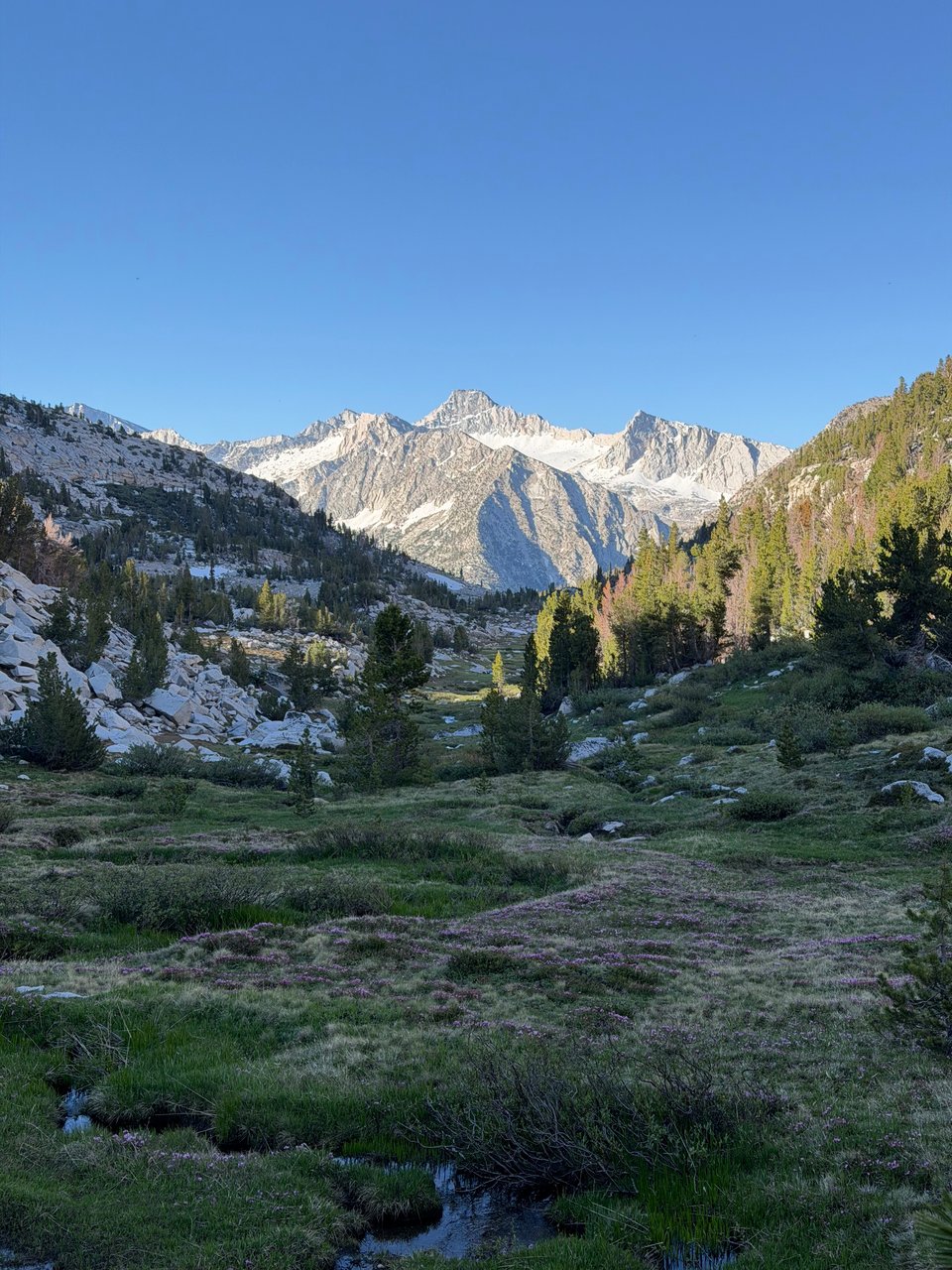
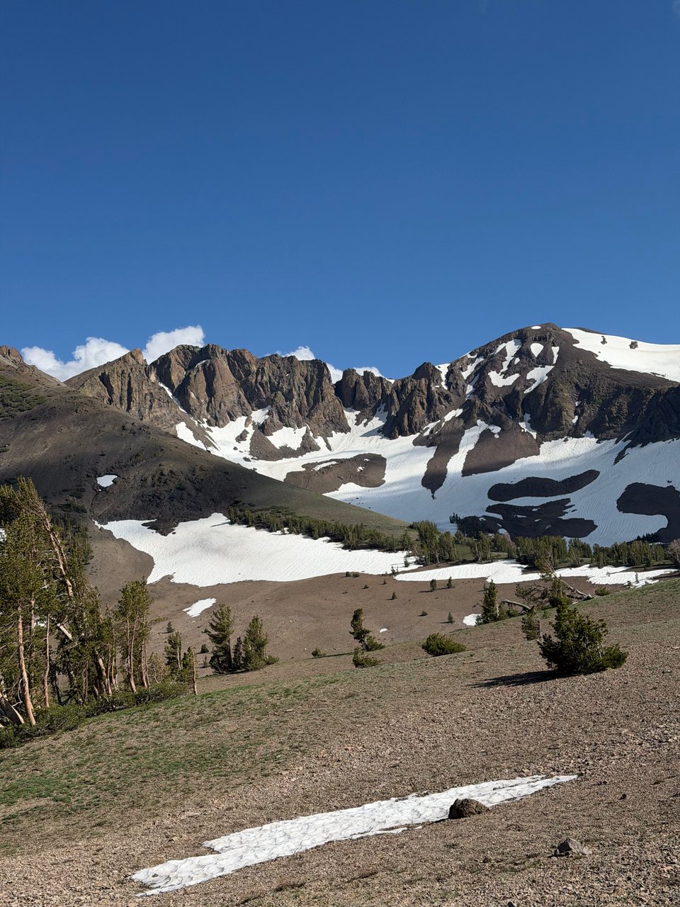
5/31 Two giant climbs today. On the second, I see my first real glimpse of the mountains ahead. The Sierra. The Promised Land. A place where water flows clear all over, moderate temperatures and sunshine abound, world-famous views pervade. Some real Ansel Adams, John Muir type shit. After almost 700 miles of desert, it seems like paradise.
Cumulonimbus clumps hang over what I know should be the peak of Mt. Whitney. There is trail magic at Walker Pass, I even get a croissant. The previous duo of me and Biscoff has merged into a tramily of 4 with Eddie and Captain America. I do wonder a little how I managed to fit into this group of men in their 30s and 40s, with careers, long term partners, life experience, that I wholly lack. But they make me feel so welcome and included at every turn, so I really shouldn’t worry. When I lose my filter this week, they make sure I always have enough fresh water to drink, letting me borrow their equipment. And there is also the fact that despite being 10-20 years my senior, all have a very youthful energy and perspective on life that makes me realize we are not so different at all.
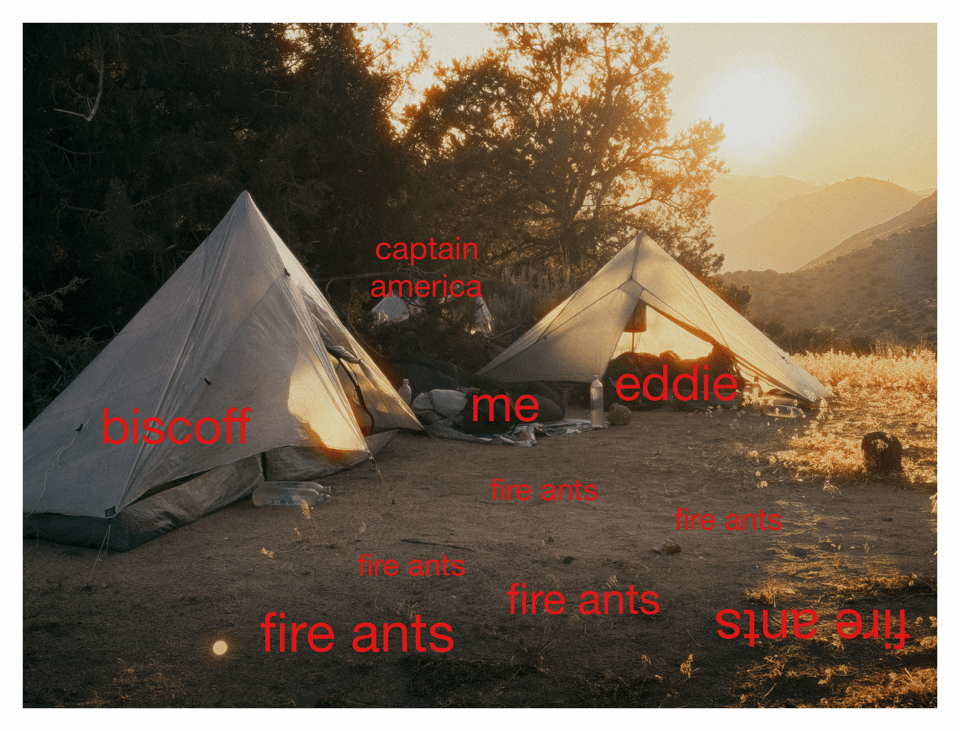
We camp at mile 666, the home of many fire ants. My net bivvy does a good enough job but one still gets in and bites me on the butt cheek. Perfect. It stings. It hurts! But tomorrow we are leaving the desert, so I don’t even care.
6/1 As we hike out in the morning, Biscoff and I discuss water sources ahead. It’s one of the last times we’ll have this conversation. Thank god. He says he hopes the creek ahead will be flowing with gatorade. We walk five more miles. Lo and behold, a cooler of cold gatorade bottles sits 10 feet from the bank. We can’t believe our luck.
Eddie and Captain America make last minute calls to their girlfriends with the last crumbs of cell service, while Biscoff could apparently not be bothered. The final day of the desert still feels like a slog. I smoke everyone up the climb again, snow-capped mountains in the distance proving strong motivation.
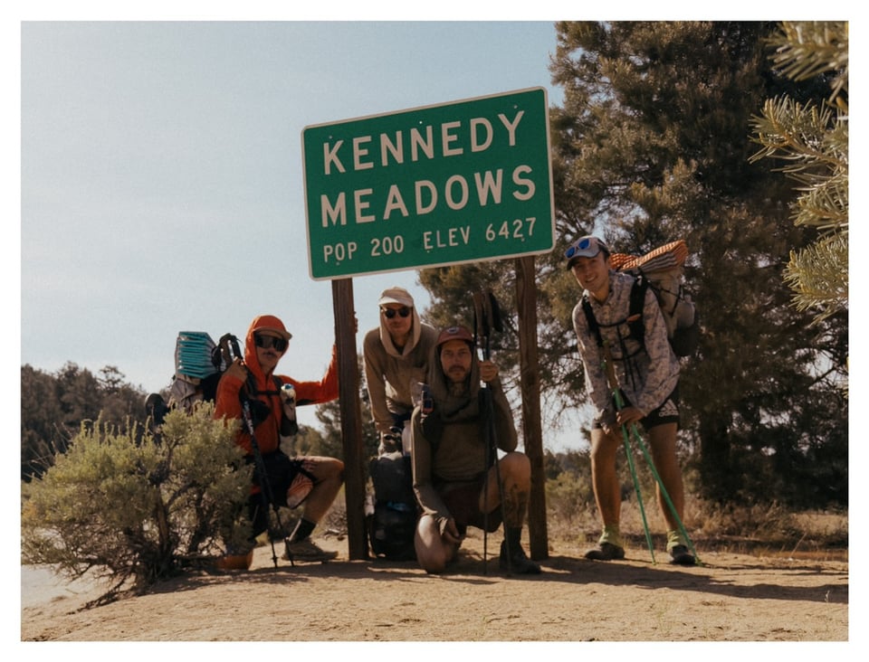
6/2 We are buzzing with anticipation. Today we enter the Sierra via the legendary Kennedy Meadows South. 8 miles in the morning absolutely fly by. We alternate who leads, clocking almost 4 miles an hour the whole time.
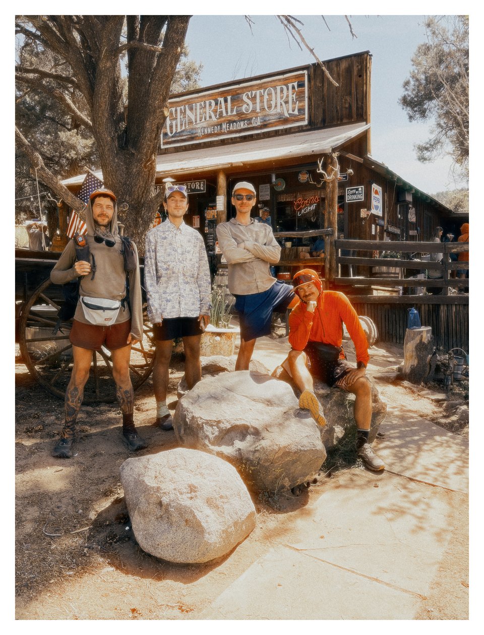
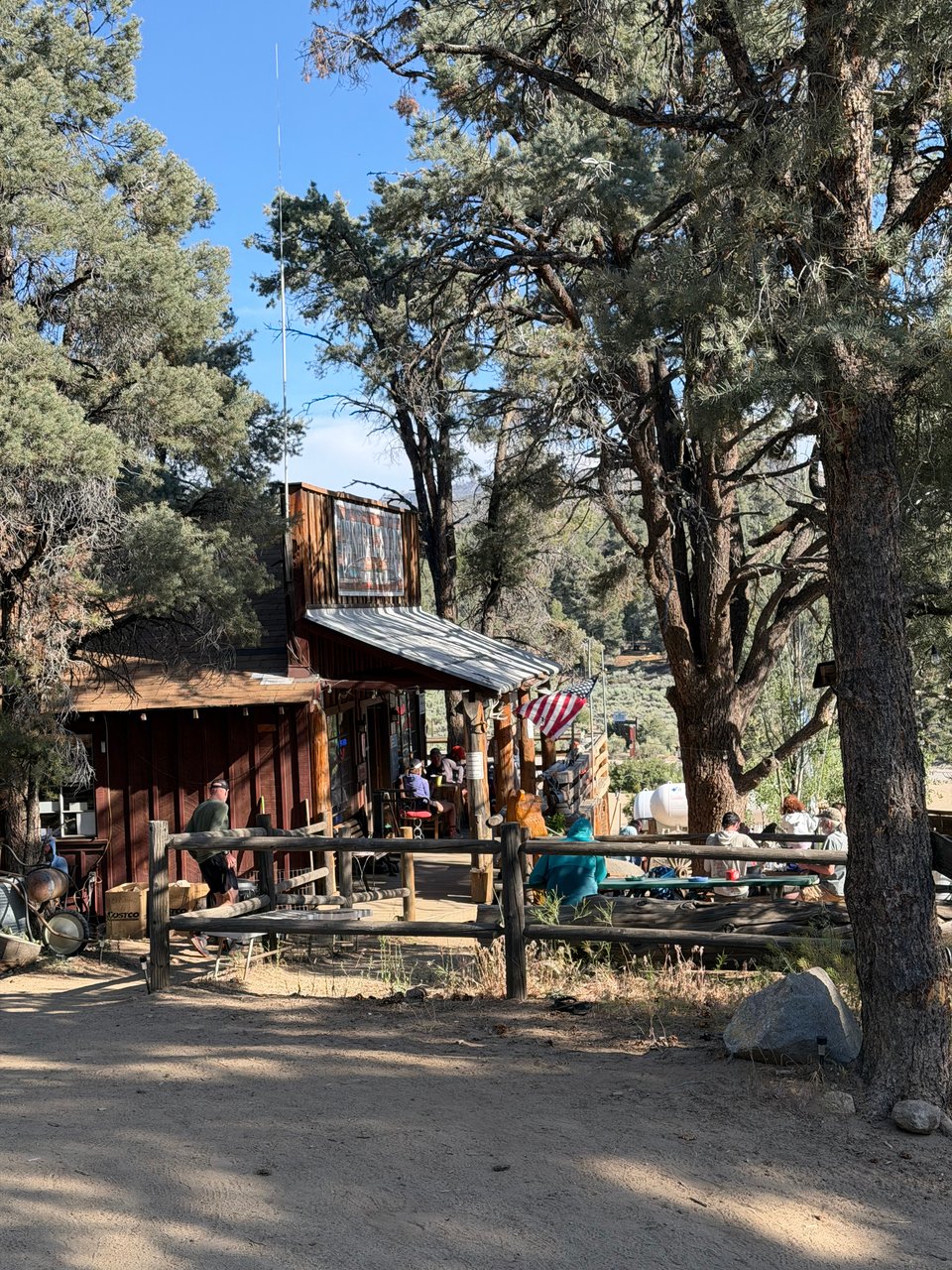
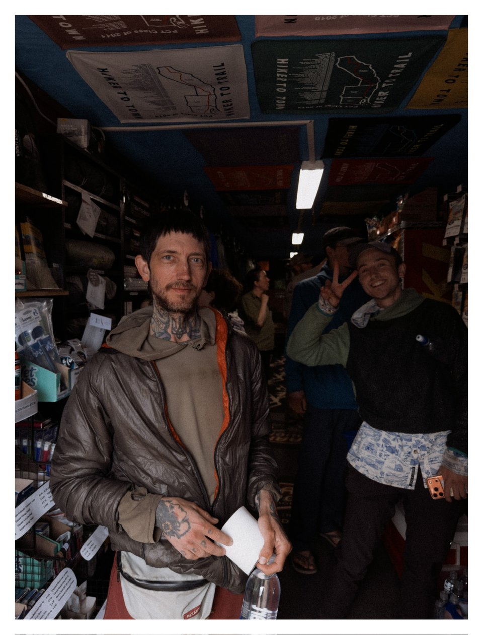
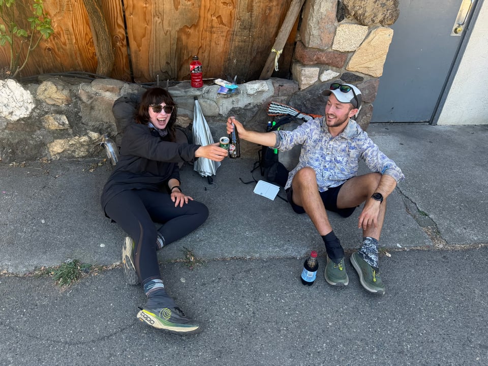
At the general store, we receive a round of applause and cheers, as is custom. I force down as much food as possible (pancakes and burgers being about the only options). Beer abounds but we don’t partake. Biscoff only drinks nonalcoholic, and nowadays I drink chocolate milk. Recovery comes first. I need the protein. It’s so nice to have a sober friend around, especially one who likes to talk shit. In the next section, we’ll run into snow and bears, so I pick up spikes and a bear can, as well as a new filter. We spend some time planning our mileage—we will take a side trip to summit Mt. Whitney—while Eddie and Captain America do our laundry and watch some basketball.
Biscoff and I discuss gear for the 1,000th time, a topic we never tire of. We finally trade lighterpack lists (a detailed inventory of everything you’re carrying down to the gram, common among ultralight backpackers), which feels weirdly personal and intimate despite already having seen most of what each other is carrying. We give each other a shakedown. With a heavy bear can, we want to reduce our load in other ways, by any and all means necessary. We both ditch our CNOCs (temporarily, while water is everywhere in the Sierra) along with a few other minor things. Not much weight saved, but that is more a testament to how obsessive we are about this stuff already.
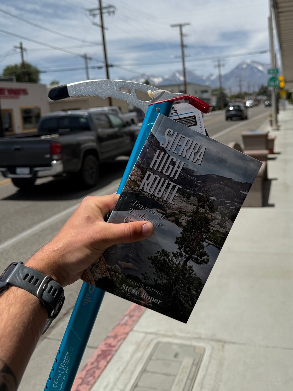
For the next few weeks, I will be in the High Sierra. I will make an attempt to climb Mt. Whitney, the highest point in the lower 48 states. I will also be attempting some sections of the Sierra High Route, which is parallel to the PCT, but crosses raw terrain. No trail at all. You make your own path. Lauded as much more scenic, but also more rugged and remote than the official PCT/JMT in this area, I am excited to try my hand at cross-country travel again. Hikers I respect and admire almost universally discuss the high route as a spiritually transcendental experience. While it doesn’t cross into mountaineering territory, on the high route my pace will be dramatically slowed, from 25-30 miles a day to maybe 10-15. I don’t fully know what to expect but feel like I should take advantage of this historically low snow year to attempt it while it is accessible so early in the season. Worst case I will bail back to the official trail.
I’ll do my best to take lots of pictures and keep you guys updated.
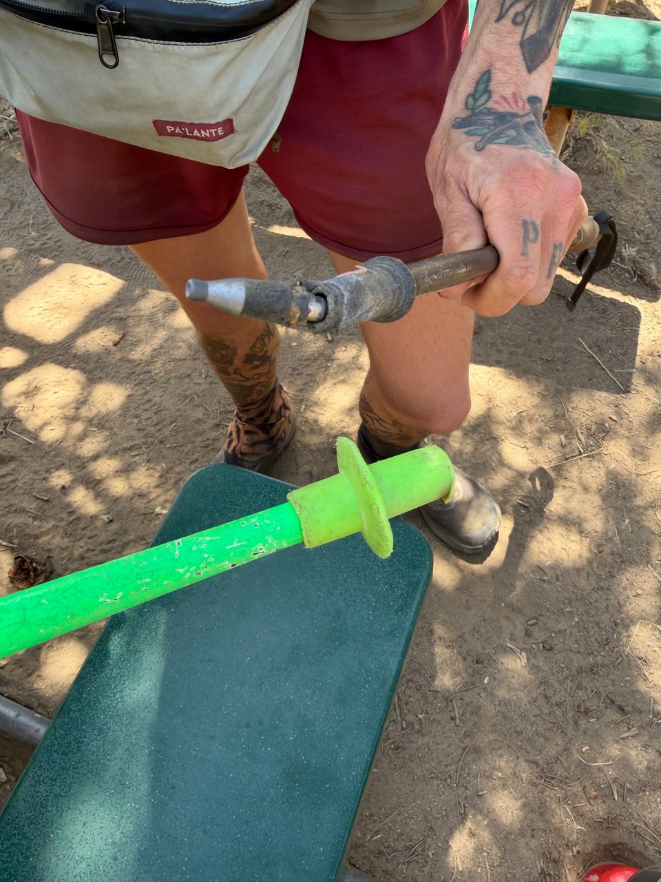
Repair of the week — I have two. Both mine and Biscoff’s pole tips got fucked. To replace them, stick the tips in boiling water for 10-30 seconds and remove with pliers. Put on new tips and pound against the ground a few times, no glue needed.
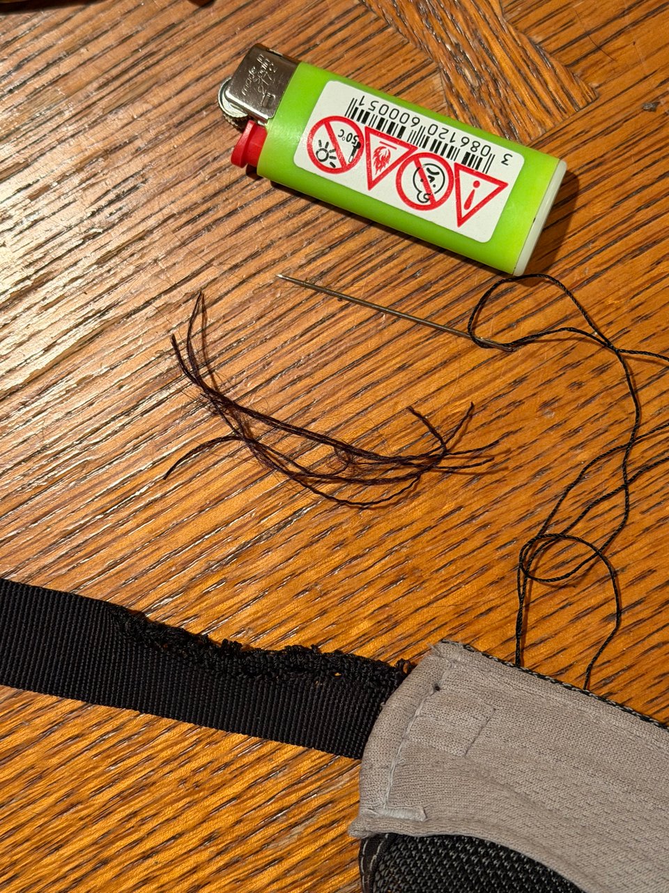
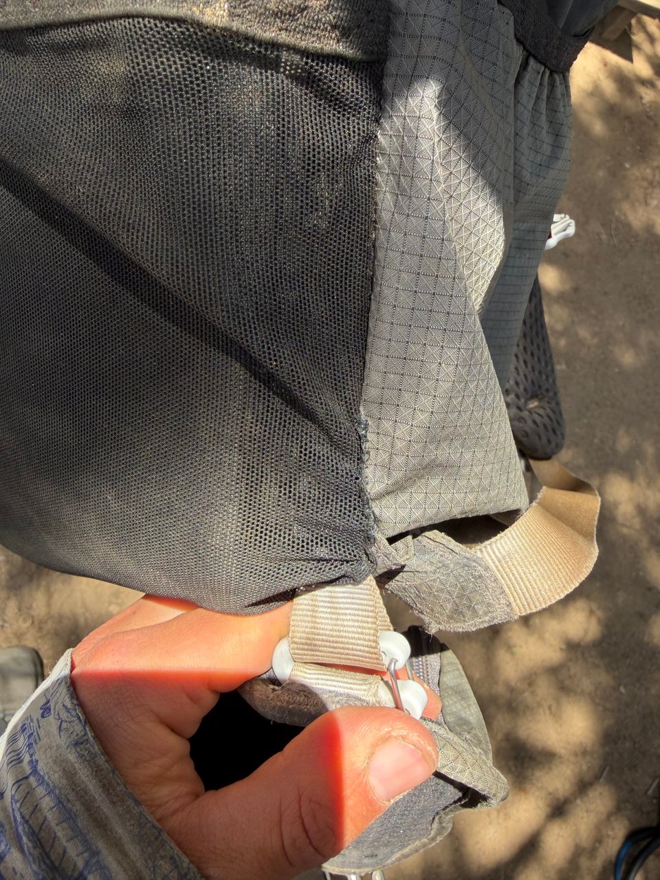
Eddie’s Gossamer Gear pack (not known for their durability…) ripped a huge hole that I sewed up with some MARA poly thread, hopefully enough to get him to the next place that stocks good packs.
Part 8: high points
2026.06.08 — original post
This week was full of high points.
I had fun and everything, but I specifically mean the physical kind of high points.
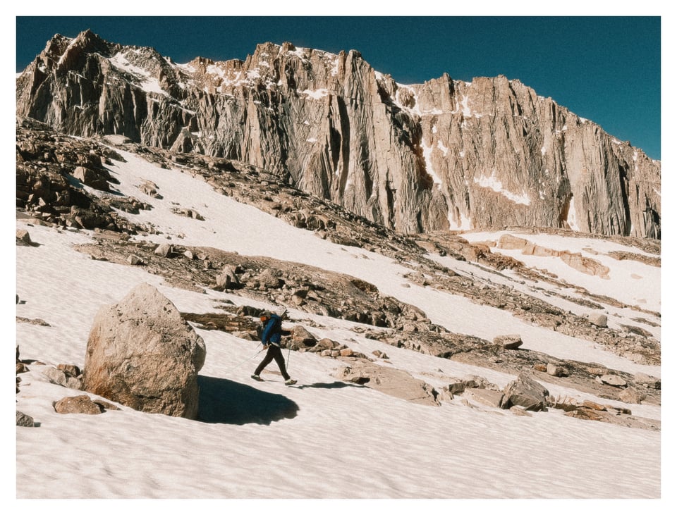
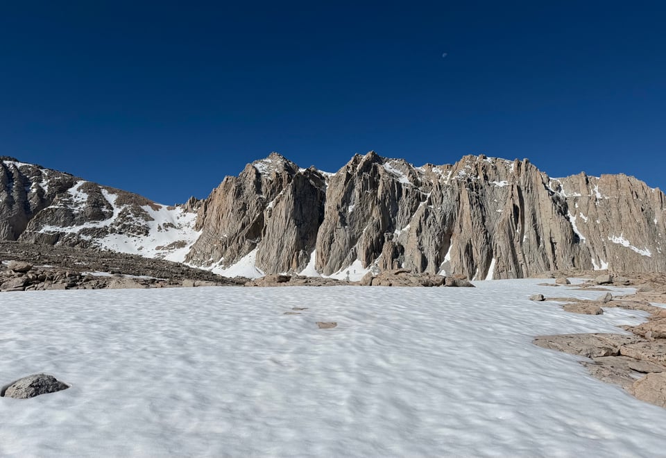
On Forester Pass, the highest point on the official PCT, I was above 13,200’, while on Mt. Whitney, the highest point of the contiguous USA, I stood at 14,491’.
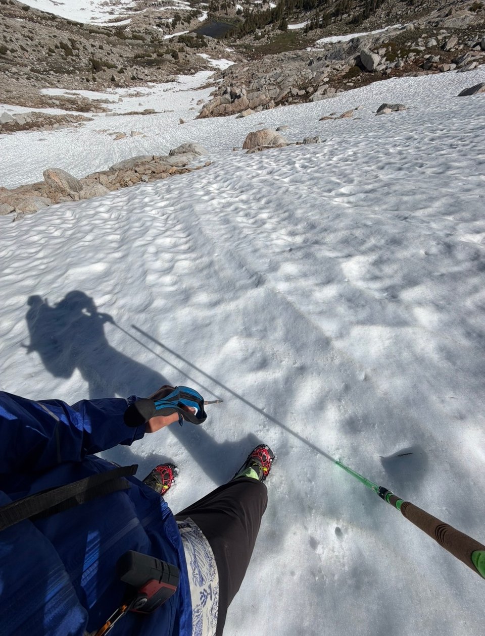
Though I initially struggled with the altitude, I’m acclimating quickly. I hit real snow for the first time on the trail, and am feeling more confident in my ability to handle alpine environments.
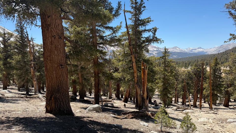
6/3 KMS Kennedy Meadows South, known as the official entry point to the Sierra on the PCT, has been a fun if not particularly relaxing stop. I eat the biggest pancake of my life for breakfast before we have a short day out of town. For the first time in weeks, there are plenty of trees around. Evergreens! Not that weak-ass east coast deciduous shit. The air smells good: dry, clean, fresh, and the quality of the sunlight takes on a golden hue.
6/4 I see what I think is my first glimpse of Mt. Whitney in the distance. The altitude change hits me hard, much worse than everyone else. As we ascend, the previously golden light of the sun turns a bright, clear, fiery white. There is no escaping it. I feel sluggish and struggle to reach 2mph for the final few miles of the day. Everyone else seems fine and I wonder what the hell I did to deserve this.
6/5 Again I wake up feeling off. We slept above 10,000’ so it’s no surprise. I push through and start to feel normal again later. Captain America seems to be struggling as well, and later, Eddie too. Though it was hard to be the first one to struggle with the altitude, at least it means I also acclimated quickly. Biscoff seems to be essentially impervious to this kind of physical issue and offers little sympathy. We hike to the trailhead for Mt. Whitney and turn in early, tomorrow will be a big day.
6/6 Today we will summit Mt. Whitney, the highest mountain in the lower 48 states. It will be my first 14er. Unlike some other popular, lower peaks, like Mt. Hood and Mt. Rainier, you can basically just walk up to the summit; no real mountaineering is required.
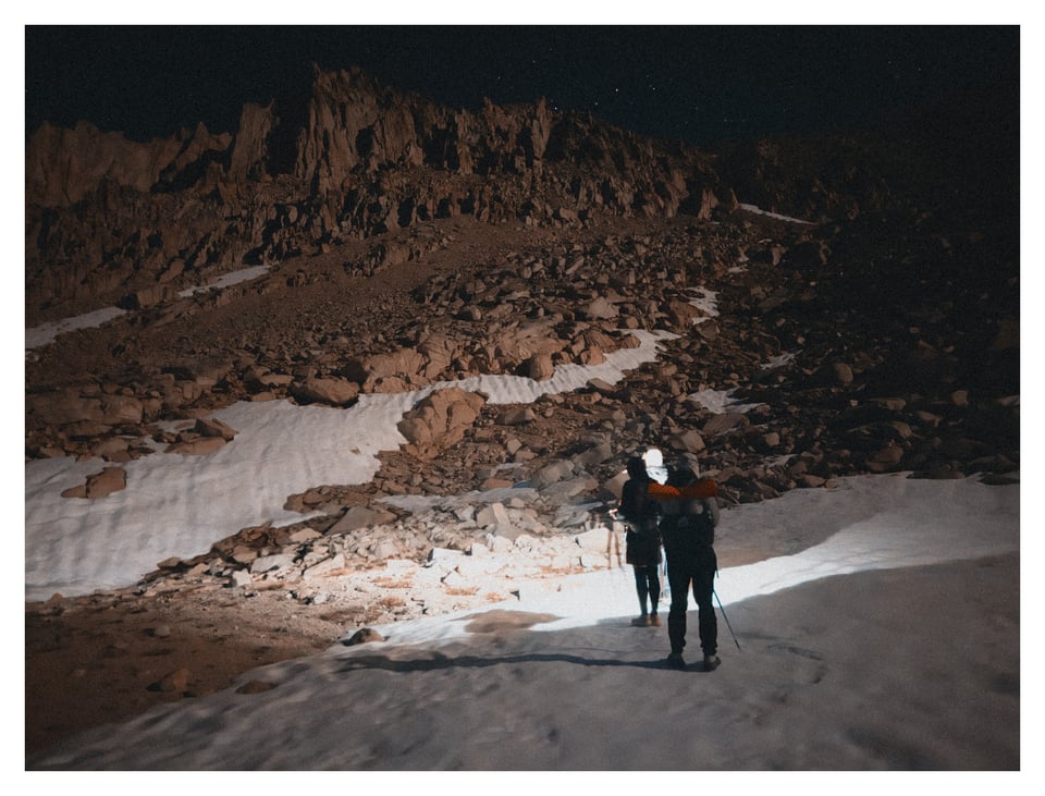
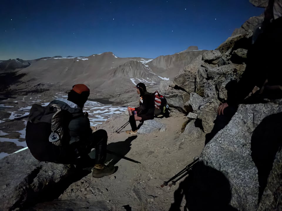
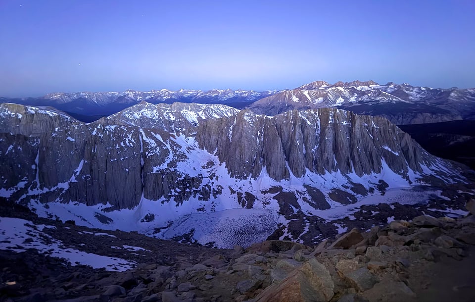
We decide to try to catch the sunrise on top. Wake up is at 1am, it’s cold but I quickly start sweating as we begin the climb. Captain America and Eddie lead first, going (in my estimation) way too fast. In the dark, it’s hard to tell what’s happening outside of what is immediately in front of my headlamp. As we climb, I begin to see snowfields on neighboring mountains reflected in the moonlight, with an eerie and serene glow.
The way up is not overly steep nor punishing in its terrain, but the altitude is significant and the climbing is relentless. Two thirds of the way up, Eddie and Captain America decide to turn around due to feeling sick and fatigued. I continue with Biscoff to the top, not even a doubt or question in our minds that we will make it.
Biscoff points out we have covered 500+ miles of trail together by now. But who’s counting. The significance of this will be lost on me until much later. In the moment I’m just focused on getting up.
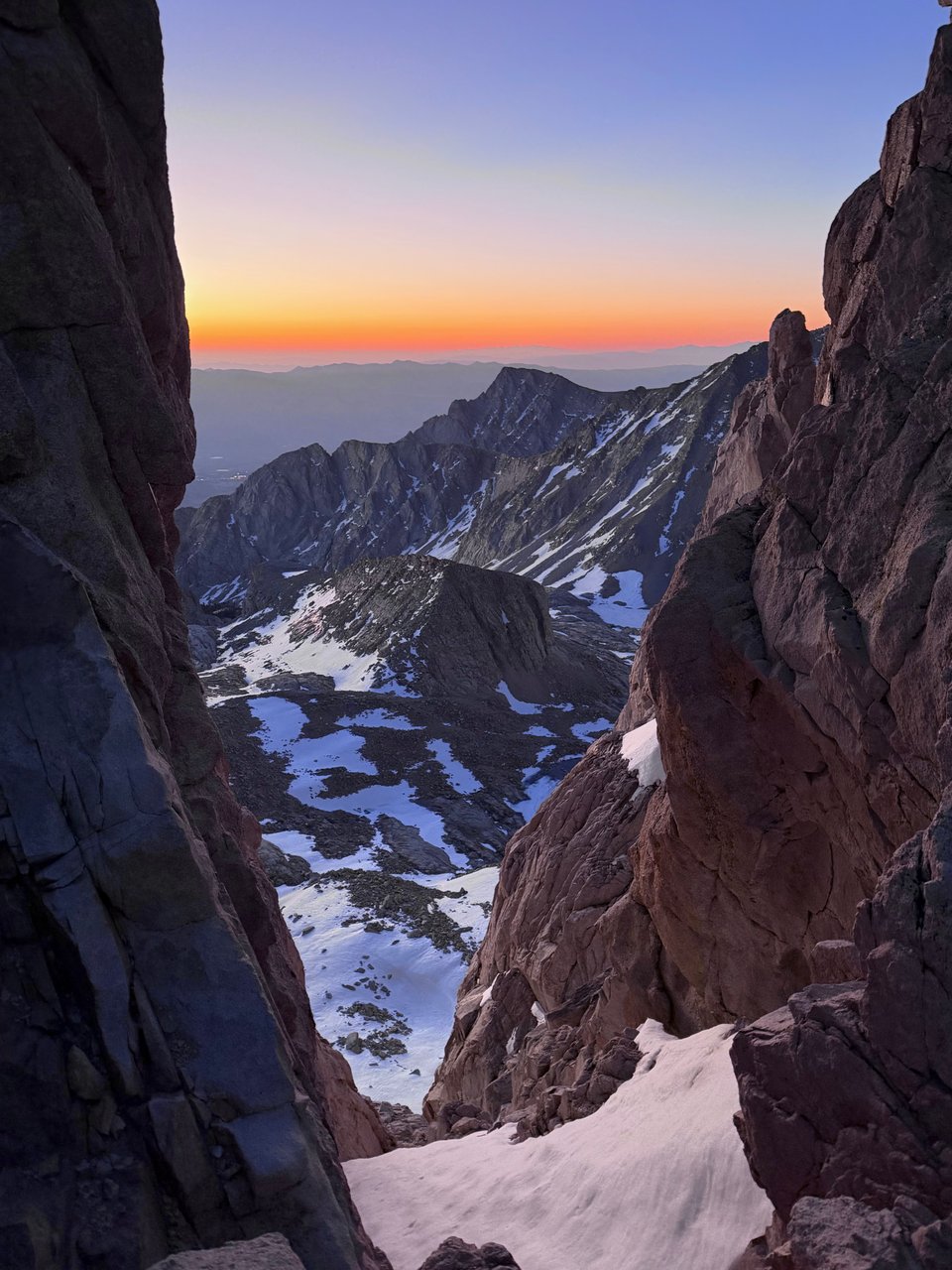
As we near the summit we can’t contain our excitement as hints of alpenglow tinge the edges of the surrounding peaks. Though we are a couple minutes late for the sunrise because we got stuck behind a large, slow group, the views on top make everything worth it.
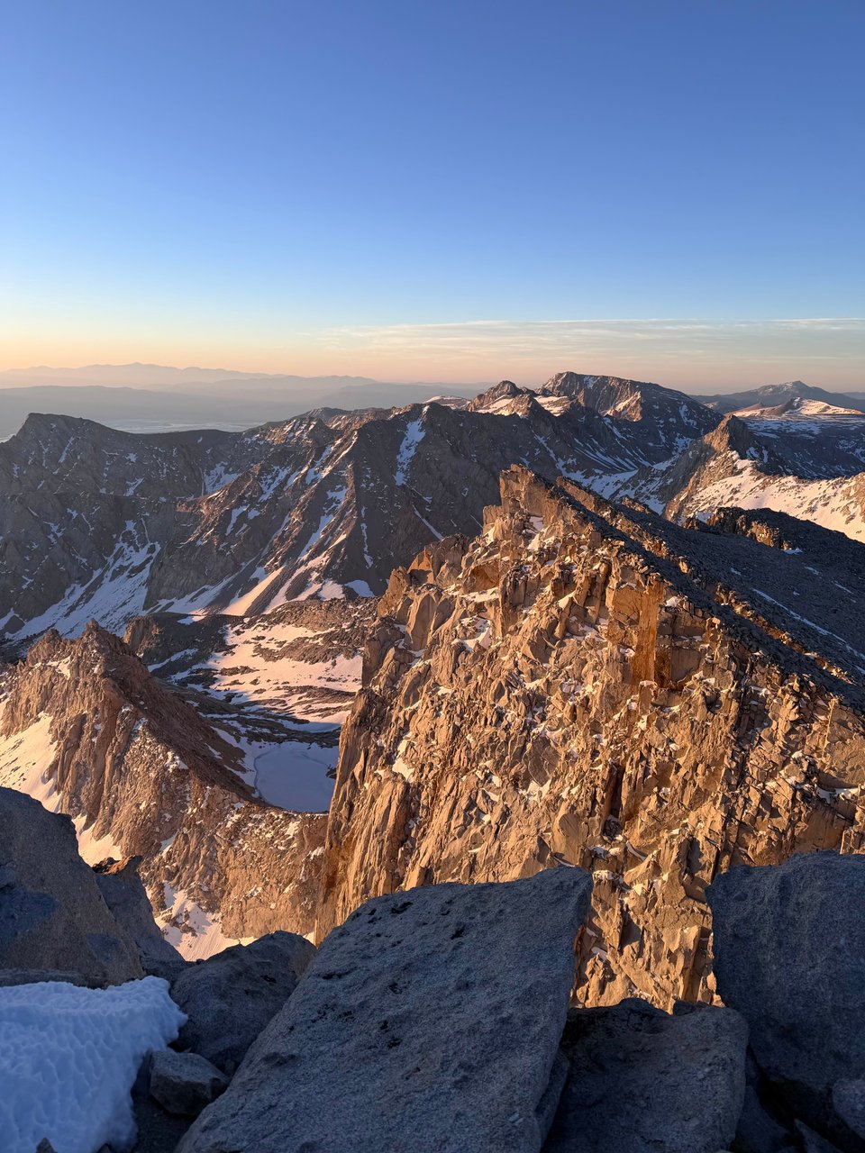
With the light changing from one minute to the next, various facets of sharp crumbling spires and needle-sharp ridges around are highlighted in the sun’s spotlight one after another.
It is bitterly cold and windy on top so we take cover under some rocks, sharing snacks and handwarmers as we take in the view. Neither of us does particularly well in the cold so we stay only a few dozen minutes until we can’t take it anymore.
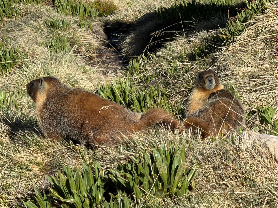
On the descent, we finally see the surrounding area, which is stunning and vast in its intricate detail. We descend the endless talus and snowfields, making time to run around on the snow like little kids near the bottom; the marmots laugh when we both slip and fall.
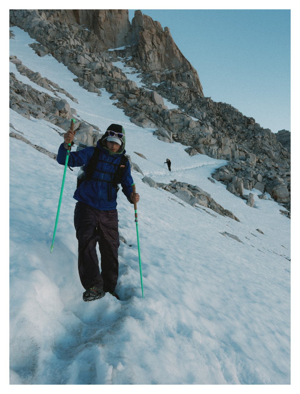
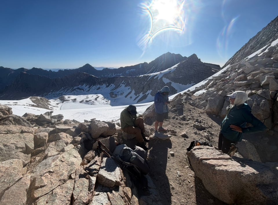
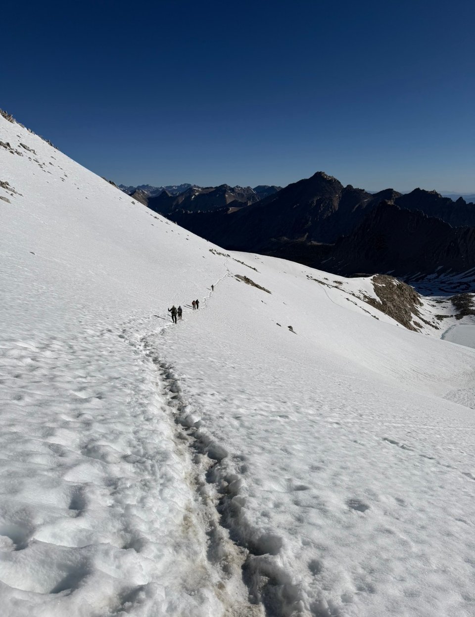
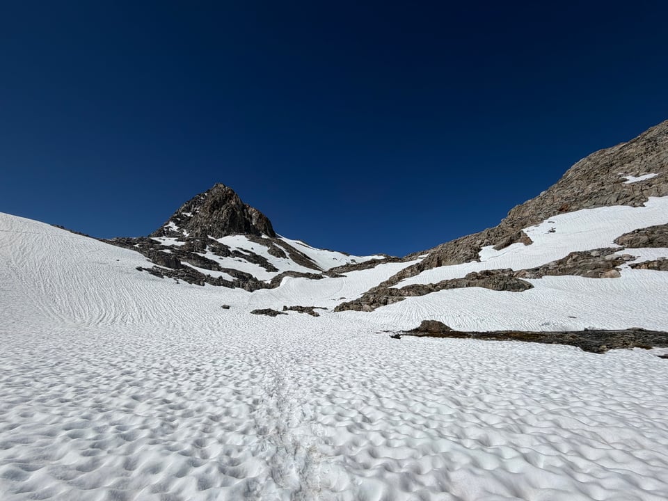
6/7 I do Forester Pass alone in the morning. I don’t really know what to expect but instinct kicks in and I feel more confident traversing the snow by the end. Passes on the PCT are basically a steep switchbacked climb and descent over the lowest point between two mountains. My microspikes are awesome and let me walk straight up the near-vertical headwall of snow.
Some other hikers get turned around on the descent due to the trail being invisible under the snow; I pick my own line and feel vindicated as they follow me down. Later I do Kearsarge pass, snow-free, to total about 5,000ft of climbing today. What used to seem like an incredible amount of climbing is just another day now. Biscoff and I hitch down into Bishop, sad to be leaving the mountains but equally excited for hot food.
As he leaves the next day, it’s hard to say goodbye; we have been together so long. But I want to explore the unmarked areas on the map and he wants to stick to the red line (hiker speak for the official marked trail) so we need to split up. I knew this day was coming but I’m still sad.
Alone in Bishop I make my preparations for the high route, finally shell out for an ice axe, and absolutely mutilate a guidebook to make sure I carry only the absolutely crucial pages to save weight.
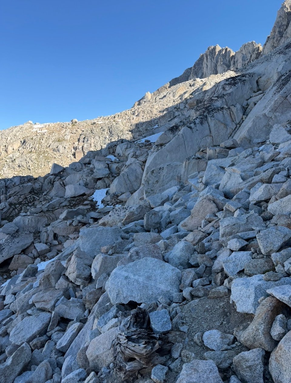
We’re in uncharted territory now. Making the jump from zero to one, from no experience to some experience, is the hardest part. Nobody can really teach you how to routefind, traverse and explore unmarked terrain, you have to go out and try it. Instinct kicks in or it doesn’t. Your sense of direction, selection of which pieces of talus are likely to hold your weight, guesstimation of the strength of the snow, ability to locate water, are all honed and improved. These are things that can only be learned by doing. Muscle memory. I need to go put some reps in.
Best, Mac
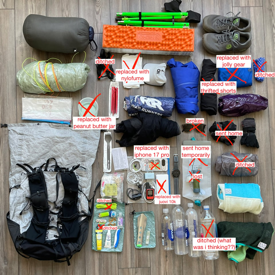
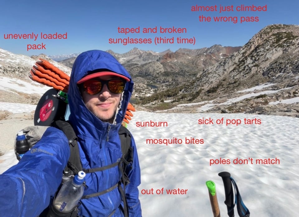
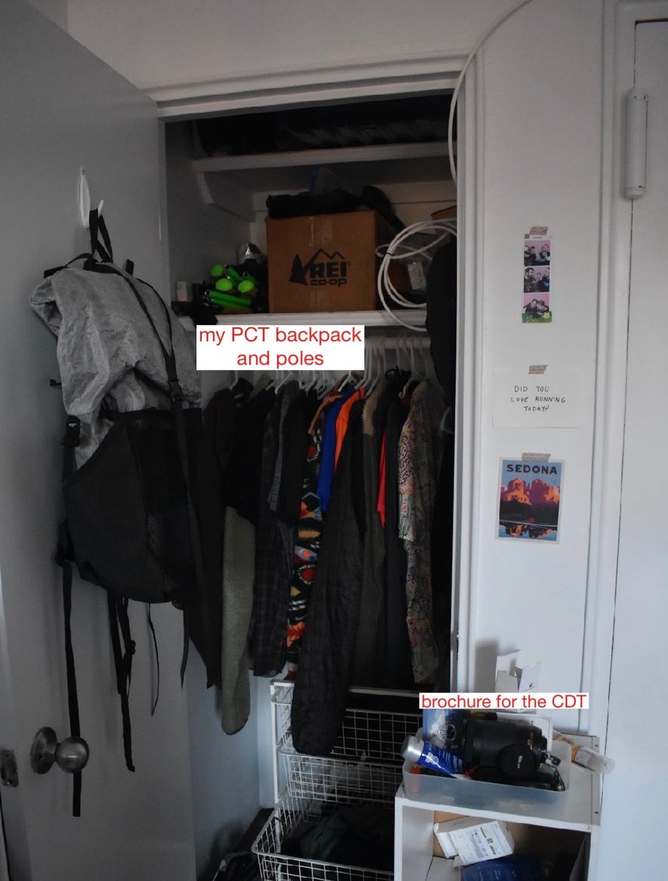
Gear update—I found the photo of what I had at the starting terminus, this is an updated version of what remains. I have added a couple things too but forgot to take an updated picture while I had my own room so it will remain a mystery to the audience until I remember to do so.
The moral here I guess is that no matter how long and hard you plan, life happens, needs change, and you could always roll over in your sleep and break your favorite sunglasses. RIP.
Part 9: things go wrong
2026.06.15 — original post
This has been a hard week.
First it was the loneliness of going it alone after hiking for hundreds of miles with friends. Then injury. Constantly wet feet. Gear breaking. Swamps and bogs. Mosquito bites. Thunder. Pollen. Terrible food. Slippery, near-vertical climbs and descents. Miles and miles of slushy snow. This week had it all.
But it wasn’t all bad. I traversed some of the Sierra High Route’s pristine valleys and untrodden passes, proving to myself that I actually can do some routefinding through what the guidebook calls “truly onerous terrain”.
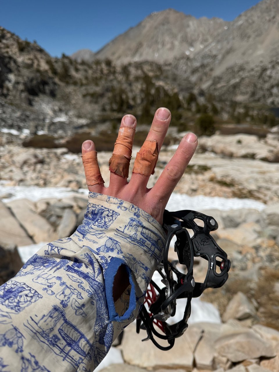
First though, out of Bishop, I did some passes on the official PCT. On the very first one back on trail, Glen Pass, I lost half the skin on my left hand. With no band aids large enough for the job, I simply leukotaped my fingers back together, prayed I would avoid a fatal infection, and continued on.
Pinchot Pass was unremarkable. Mather was steep, and I did my best to descend on the rocks instead of the snow. Unfortunately, on those rocks I broke my carbon fiber pole clean in half, and had a moment of true despair. Poles are essentially an extension of the body of a thruhiker, providing crucial biomechanical assistance on climbs and descents, as well as balance. The thought of doing 100 miles with only one was not heartening.
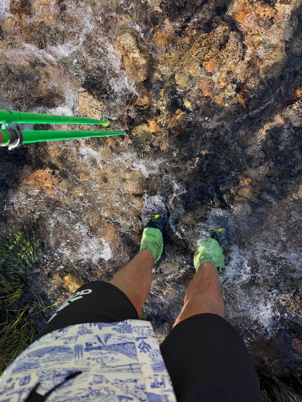
One of the more important uses for poles in the Sierra is to ford the rivers and streams, which there are many of. Some thigh deep. Certain hikers try to keep their feet dry, by crossing on logs or removing shoes for each crossing. This is not only a fool’s errand, but also dangerous. Stream crossings are consistently the most dangerous hazard on the PCT, above bears, falls, and Skippy peanut butter overdose. Shoes provide important traction and protection on slippery rocks, and a fall off a log with a pack on can drown you. I am no big fan of wet shoes in the morning, but at least I’m alive.
Muir Pass, often said to be the most difficult of them all, I did not find particularly bad.
With nearly 8 miles of snowfields, it was a test of endurance, but luckily endurance is my middle name. The relative gentleness of the slope made for easy travel and I was able to enjoy the scenery more than other passes.
Maybe because I was finally hiking alone, but I saw many more animals this week than previously.
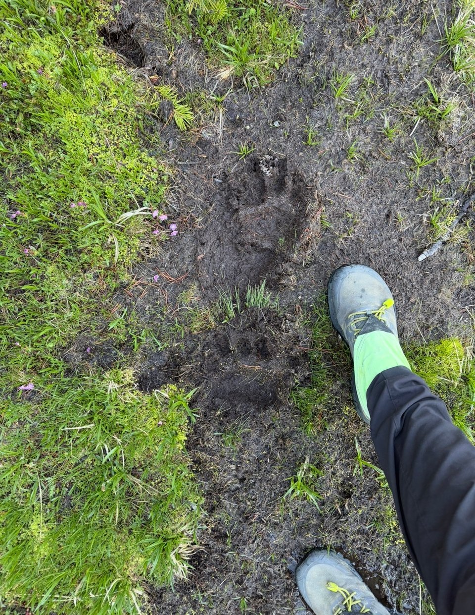
Along the High Route, I got excited when I thought I saw the footprint of a hiker. Someone must be just ahead of me!
After completing back-to-back Bighorn and Shout of Relief Passes on the High Route, I felt pretty much done with routefinding for a while and done with this week overall and just decided to follow the PCT to Mammoth.
It was weird to have so many bad things happen so fast one after another, while still being in one of the most beautiful places I’ve ever seen. Trying to appreciate the scenery for what it was, while dealing with all of these issues was weird. I guess that’s life. A thousand more small annoying things happened too, but I’m not gonna dwell on them. Trust me though, it can only go up from here.
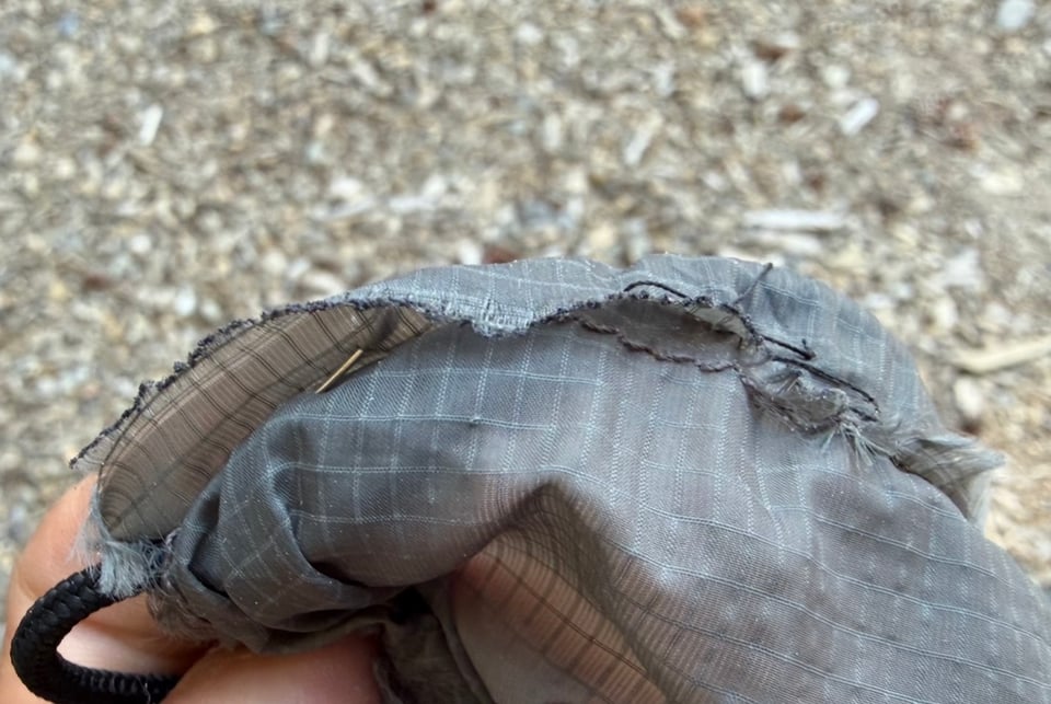
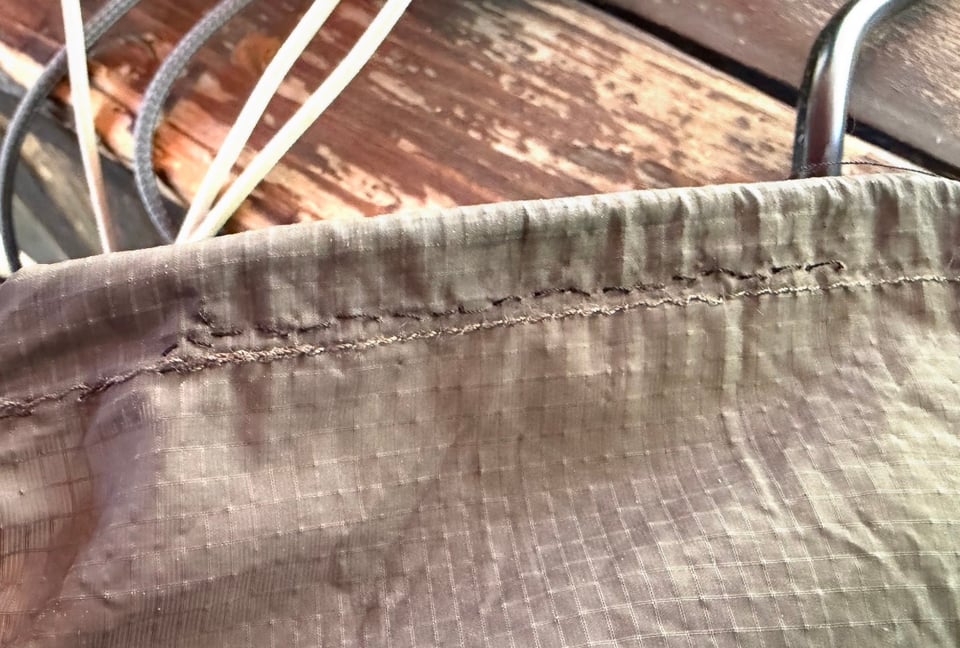
Repair of the week
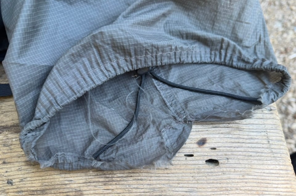
- My hand - kidding, it’s the stuff sack for my Enlightened Equipment Enigma quilt
It was fraying like crazy after dealing with the stress of being stuffed every morning.
Part 10: hammering miles
2026.06.23 — original post
This week I tried to cover as much distance as possible, back to back 30+ mile days. Out of the High Sierra, progress is faster. Alone, it’s easy to be scarily efficient; I cover great distances with gargantuan elevation profiles facing little resistance.
Because really, there is not much else to do.
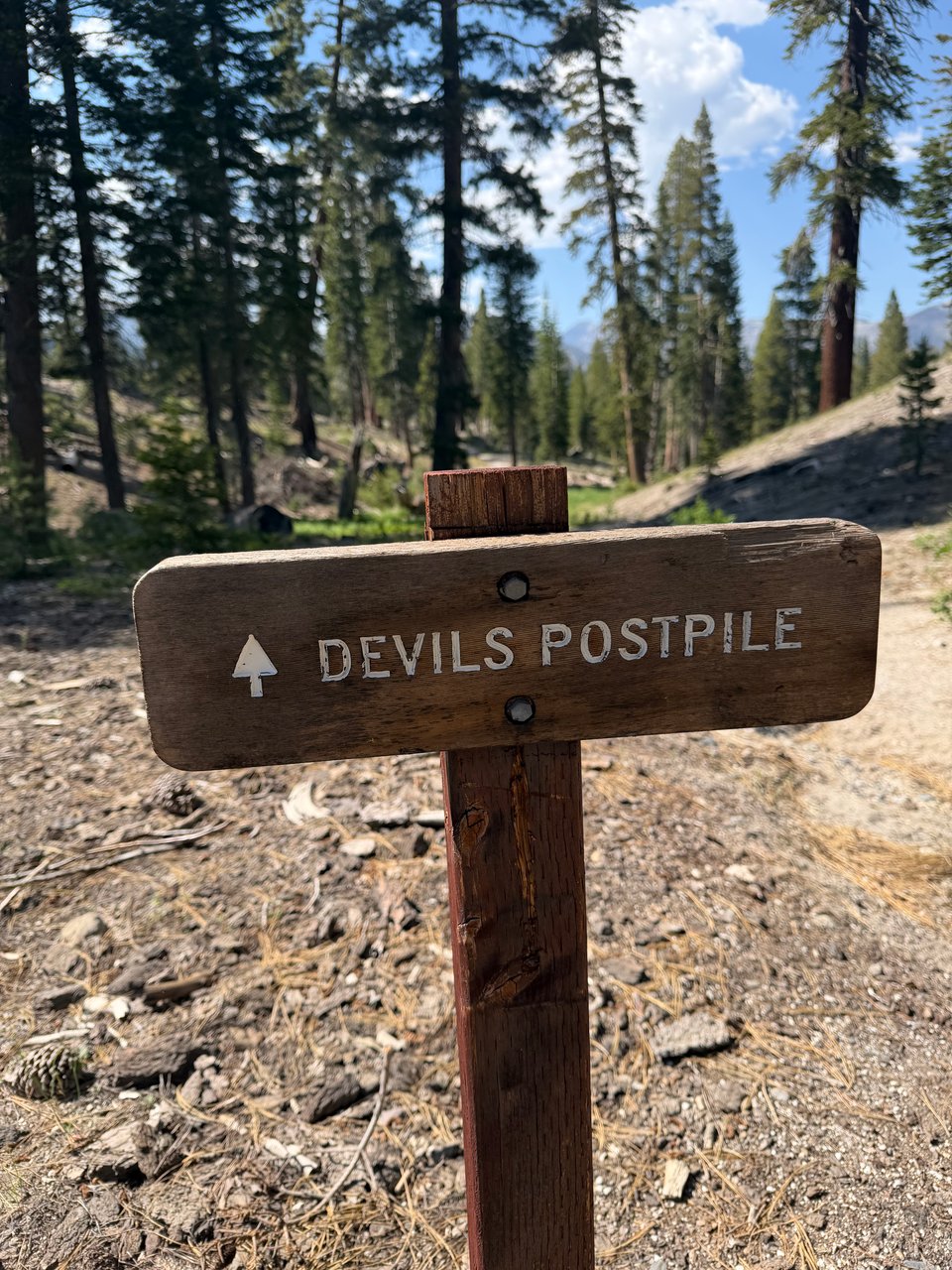
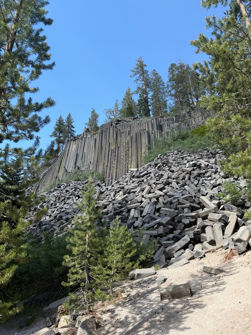
6/16 Out of Mammoth I pass through Devil’s Postpile National Monument. It’s really just some rocks. I am a fan of the Devil and his work in general, this just isn’t his best. Overall it’s a beautiful section and I grab a great campsite overlooking an opposing range.
My deadline to finish before the first week of September starts to feel real, and I miss my friends, so I am determined to pick up my mileage from now on.
6/17 I cross Donohue Pass into Yosemite National Park. I enjoyed the exquisitely flat and manicured trails through the tourist areas. I get a mediocre burger and great fries at Tuolumne Meadows and eavesdrop on the big wall climbers at the mountaineering school. I skip the valley since it’s not close to the trail and I have seen it before. The crowds here even in Tuolumne are also stressing me out so I continue on, closing out nearly 40 miles today.
6/18 Multiple minor passes today, and still a lot of non-PCT hikers around. It’s Yosemite after all. The trail climbs and descends, climbs and descends, very steep both ways, testing my physical and mental endurance. We get lots of thunder and a tiny sprinkle of rain, not even enough to prompt me to set up my tarp. The winds blow massive yellow clouds of pollen from the pinyon pines.
6/19 I follow the trail past countless picturesque and pristine lakes and streams. It is incredibly wet. Finally after all this time, I pass mile marker 1,000. However since I’m alone it’s a little anticlimactic. I miss my friends; they passed by here 2 days ago. I’m catching up, slowly. I’m reminded of the Chris McCandless (of Into the Wild) quote, “happiness is only real when shared”.
At the end of the day, I get the dramatic moment I was waiting for. Sonora Pass, of black volcanic rock, so unlike the granite I have become used to for the past 300 miles, is incredibly striking with its patches of snow. Trees and small plants grow very far apart, leading a sparse and spare appearance. The scale is absolutely massive; I feel like an ant. So unlike any of the other passes, I have an incredible time soaking it in. My evening is almost perfect until a stranger invites himself to my camp spot, sits next to me, and tries to talk about football. I feel bad but there is literally nothing I wanted less in that moment. I hate him for ruining my moment of contemplation and try to end the conversation tactfully as fast as I possibly can.
I miss my friends. We have a tacit understanding that sometimes you just need to quietly appreciate things. Soon he’s gone and I can appreciate the view of the mountains in peace again, but it’s not quite the same, the magic had been broken. Whatever.
6/20 I hike the final miles of Sonora Pass, largely very steep and slippery snowfields. I don’t allow myself to look down and take it one step at a time. At the last second, Biscoff texts to warn me not to go to Kennedy Meadows North since the food they bought there was almost 3 years expired, so I hitch to Strawberry instead, much further but with better resupply options. Two Indian guys pick me up, friendly but stressed as they are just on the brink of running out of gas before the next gas station. All 3 of us will the car to continue down the hill. I can’t believe they picked me up in their state, weird how those who have the least are often the most generous.
Strawberry is very quaint, Bob and Gina of the general store are wonderful to hikers, allowing us to shower, do laundry, and stay on cots in their garage for free. They also have a great selection of (non-expired) food and snacks. I’m glad I took the time to go here. I have a little difficulty getting back to Sonora Pass, but a van full of dudes from San Diego take me most of the way back up, I walk a ways along the highway, and a nice couple from Redwood City takes me up the final few miles.
6/21 One of my biggest days on trail so far, I cover 35 miles with 7,000+ ft of climbing, while trying to arrange the logistics of meeting family in the next section. It’s hard to text and walk, but I do my best. The miles are flying by at the end and I only stop when my feet start to hurt. The notion of being in Tahoe tomorrow, if I cover the remaining 30 miles in time, is very exciting.
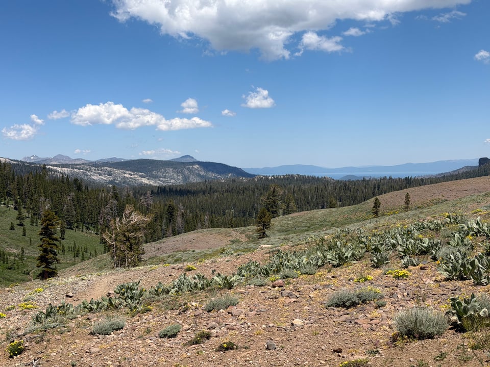
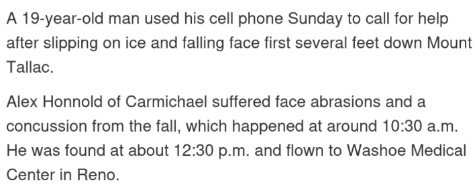
6/22 When I crest a ridgeline and see Mt. Tallac in the distance, I involuntarily let out a whoop. Nobody I talk to has ever heard of this peak but it’s played a huge part in my life. It’s where I, and also Alex Honnold apparently, had our first big time failure on a mountain. Where we got our start.
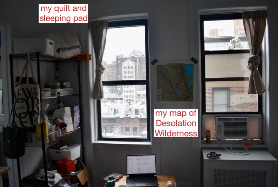
I’ve been backpacking near Tallac in Desolation every summer since 2020. Some years this short trip sustained me for months after I went back to the hellhole that is Manhattan. Life in the concrete jungle was crushing my soul and I held onto any shred of hope I would be able to get out soon. I had a map of the Desolation area on the wall of my apartment. A panorama from Dick’s Pass was my desktop background on the trading floor. This place has been a longtime shining beacon of hope for me.
I do another 30 miles today, and it flies by because I am very excited to meet my brother and get some real food in Tahoe. This past week has been my favorite section so far, in terms of scenery, basically my home section.
I’m glad to be back on relatively friendlier terrain, as I enter the Northern California section. Notorious for being underwhelming compared to the dramatic and famous Sierra, I am sure there will still be lots of hidden gems here, especially if I am able to do it with friends. And frankly after this difficult week I am excited for some lower, flatter, easier miles.
Part 11: welcome to norcal
2026.06.28 — original post
Hiking this week was a little like that proverb, “If you want to go fast, go alone, if you want to go far, go together”. Except hiking with Biscoff again, I do both. Going far, fast. We continue to crush 30s this week, but instead of hiking from dawn to dusk, we make it to camp by late afternoon and luxuriate in the free time. For the most part, miles fall away gently and easily as soon as my feet hit the soft earth, like the petals of a late-spring flower.
The easier terrain helps a little, but more than that, just knowing I’m not alone helps a lot. We walk in lockstep without really trying; most times I have to listen hard to hear him behind me. Our feet strike the ground on the same beat.
When things are bad we commiserate and when the views are good we can appreciate them in comfortable silence. My injuries of the past section are mostly healed, and save for a few scrapes, this is the first time in 1,200 miles I have no major physical complaints. Despite the less dramatic scenery, this section has been pretty great.
6/22 My brother meets me in Tahoe after a long day into town. I see my first bear of the trail outside the South Lake Tahoe Whole Foods, eat a huge burrito, and do my best to recover with the hotel’s sauna and foam roller.
6/23 I arrange to meet Biscoff and Eddie near Truckee so I can hike with them again. We meet Eddie at the Donner Ski Ranch, where he is drinking a 40oz beer they give out free to all hikers.
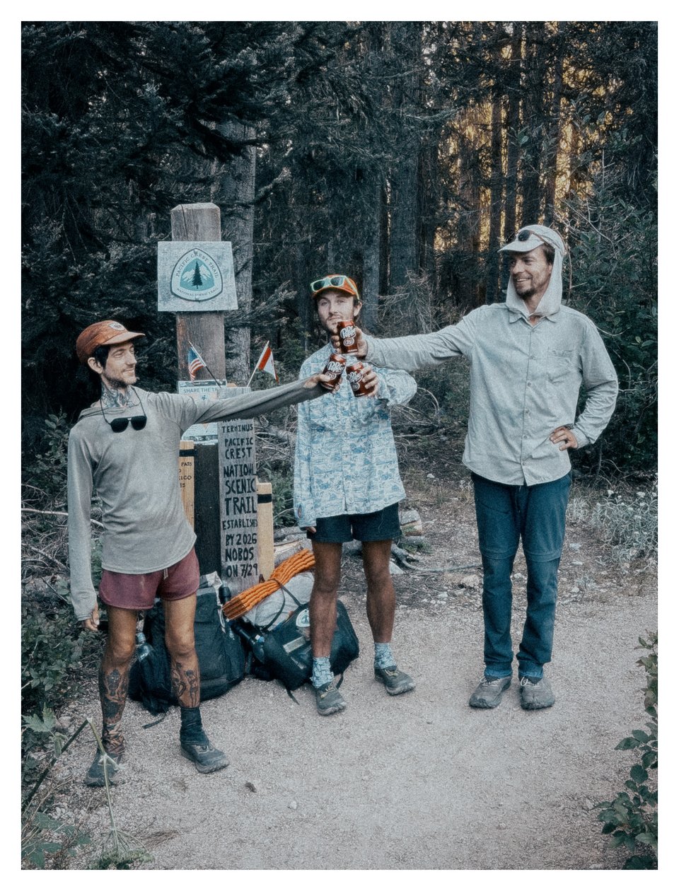
For Biscoff, who is sober, and electing to hike and not drive the 4 miles to Donner Pass, we bring nonalcoholic beer and Dr. Pepper, our tramily’s soda of choice. We struggle to herd Eddie through the post office to send gear home, get lunch in Truckee, and before long head back to trail where we do a quick 10 miles and camp on a beautiful windswept saddle with open views.
6/24 Just like old times, Biscoff and I wake up early and hike out together, doing 30 before 3pm. We had to leave Eddie behind; he has to wait in Sierra City to pick up a package. We cross the Yuba River and after a long, hot climb, camp on another open ridge with great views. I go to bed before 6pm since we got into camp so early and I am tired from the miles.
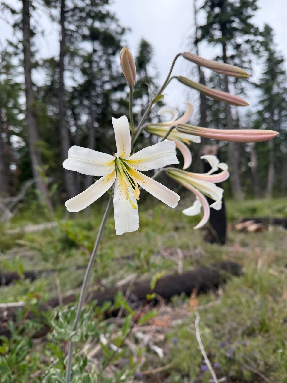
6/25 The terrain in NorCal is very green and forested so far. Even where it has burned, there are beautiful wildflowers everywhere.
The trail finally becomes more soft dirt than rock. We do 35 miles and call it a day relatively early again, unsure if we will reach town tomorrow or the next day. Biscoff ominously warns the next day will be hard, I brush it off as just more complaining. Of course, he’s right. But I remain blissfully unaware.
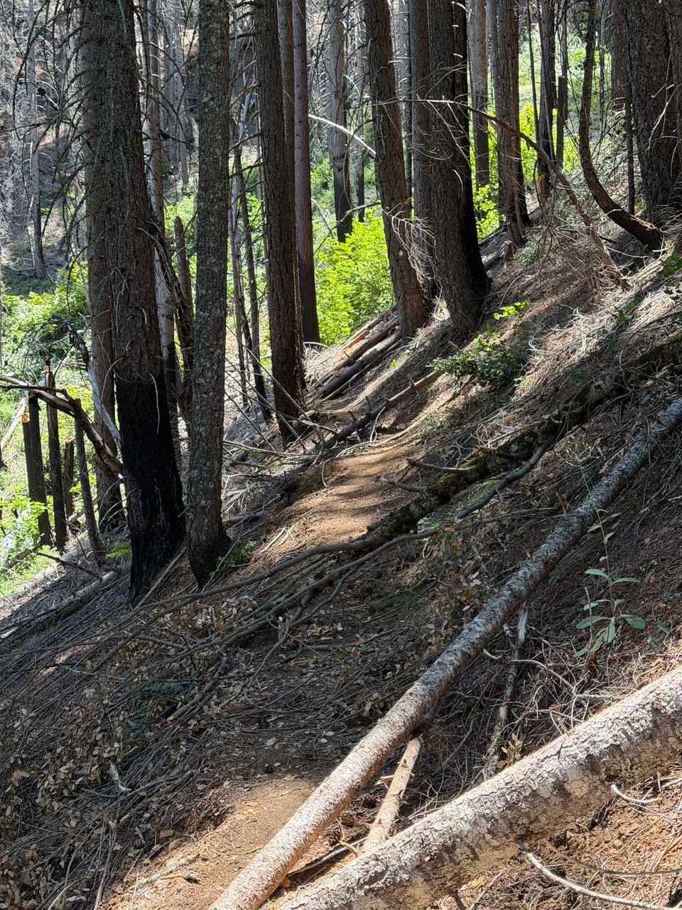
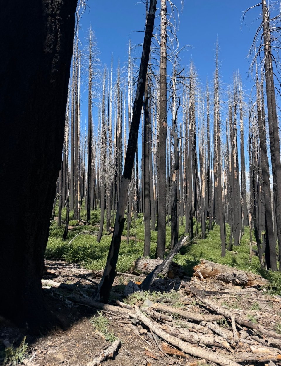
6/26 From the first few miles, things are already difficult. Hundreds of downed trees in this section from a wildfire some years before makes us progress at a relatively glacial pace. The griping begins around 6am and runs continuously under our breath. Worse, when we descend to lower elevation, we see a jungle of huge poison oak bushes overhanging the trail. Unavoidable. It covers our clothes and gear.
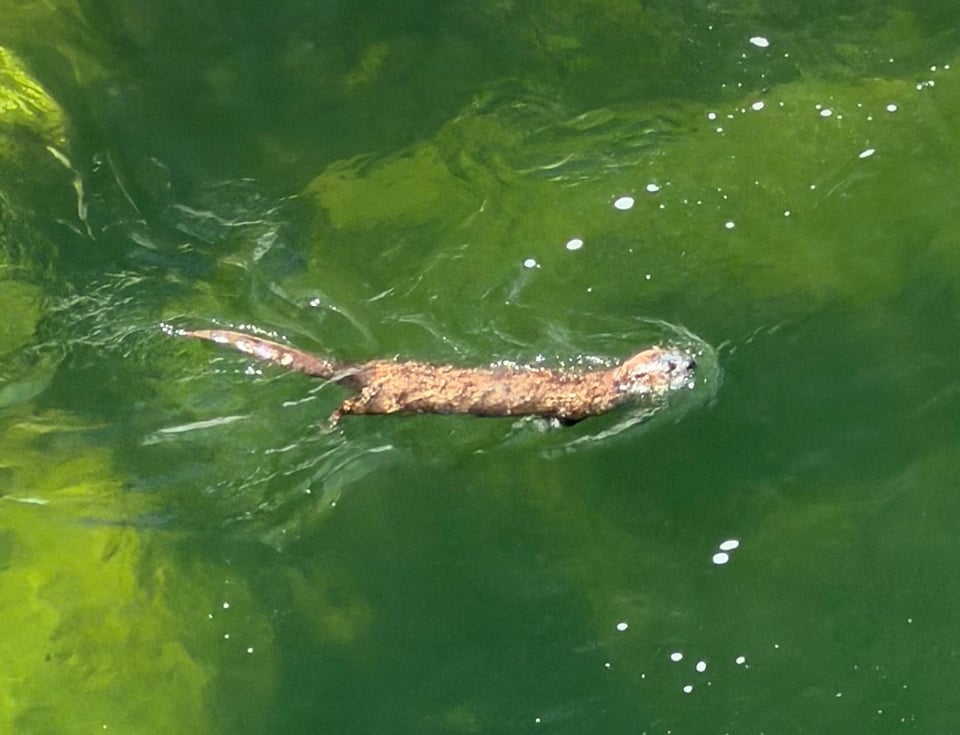
The one highlight of the day, we spot a river otter in the Feather River. I didn’t even know those were native to California. I feel lucky to have seen it swimming around playfully. I wish I was the otter.
Instead I climb over downed trunk after trunk into more bushes of poison oak. It’s hot, we are covered in dirt, we have a 3,000ft climb ahead. Nevertheless we pull through, finishing 34 miles by late afternoon. I hail a ride from a local trail angel who is nice enough to specially bring Biscoff vegan food since he can’t have the dinner they’re serving to the rest of the hikers at the festival. The generosity of people here is astounding. Even on the worst days, the trail provides.
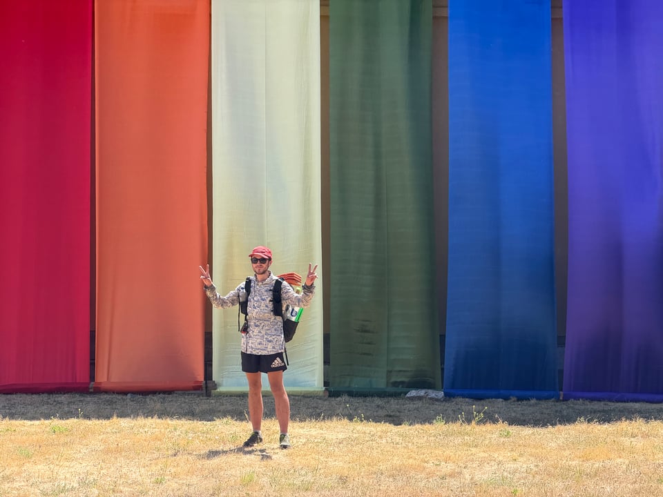
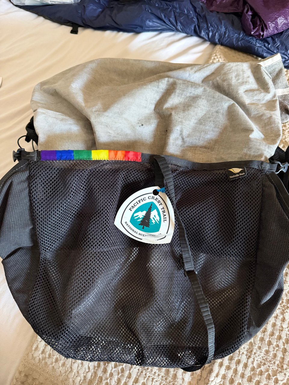
The women who picked us up also help us do laundry when we run out of options. They are seriously awesome. Quincy, a very small town, nevertheless has a small Gay Pride festival which I happen to be here in time for and attend for a little while. It’s cute and I get a tiny pride flag that I use to make a patch on my backpack.
Soon, I will leave the Sierra and enter the Cascades, my first time visiting that range. The next few towns are even smaller, so that will also be an adventure. I’ll keep you posted.
Part 12: apocalypse
2026.07.02 — original post
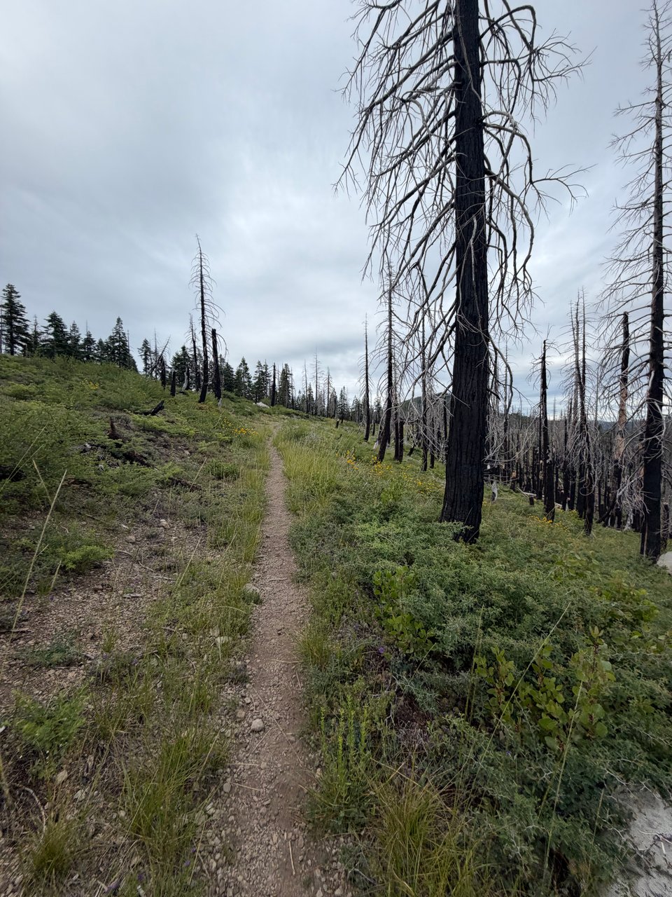
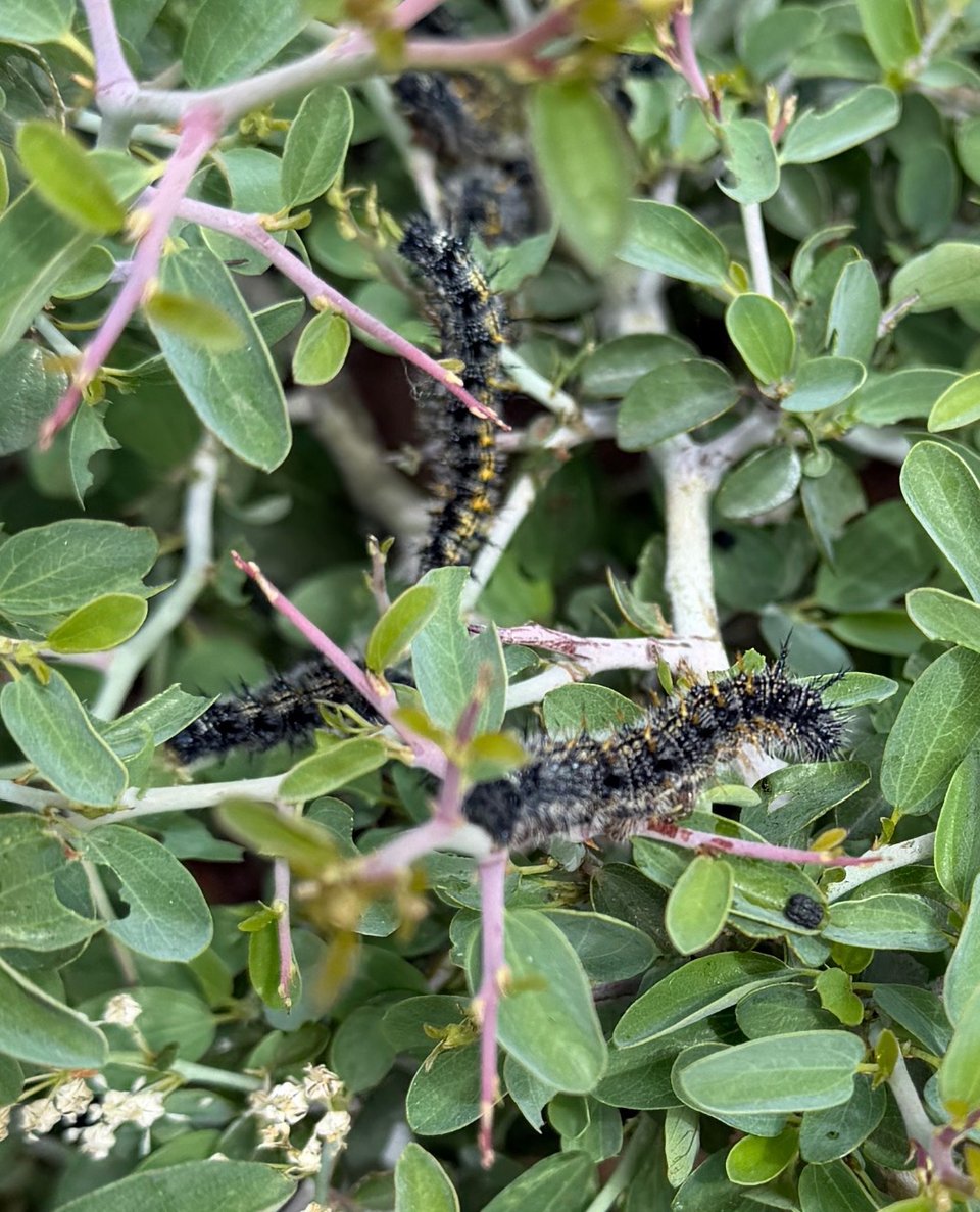
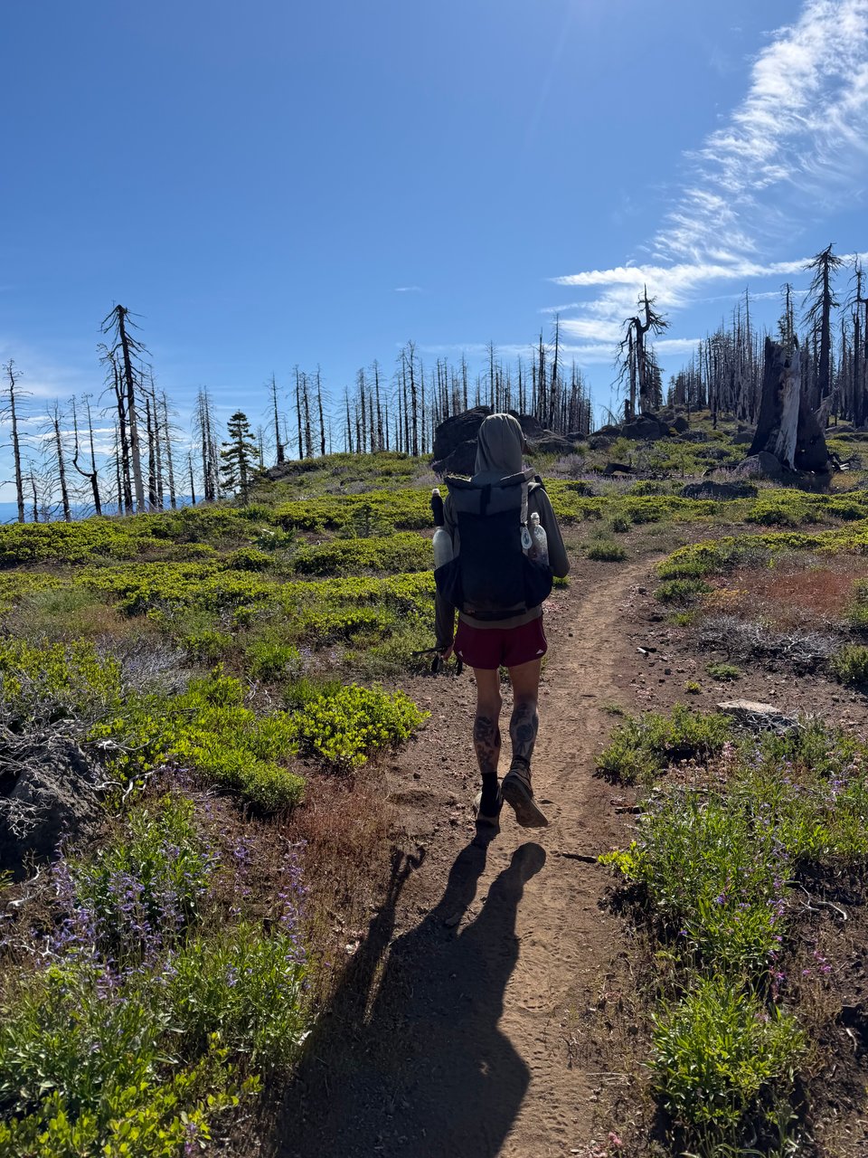
This week I hiked through hundreds of miles of burn scar. The ground itself seemed cursed as we ran into plague after biblical plague. Some real old-testament style shit. Clouds of locusts. Poison oak growing thickly to face height, overhanging the middle of the trail. Evil black caterpillars.
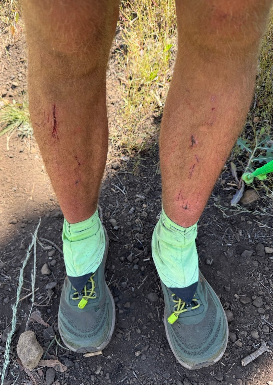
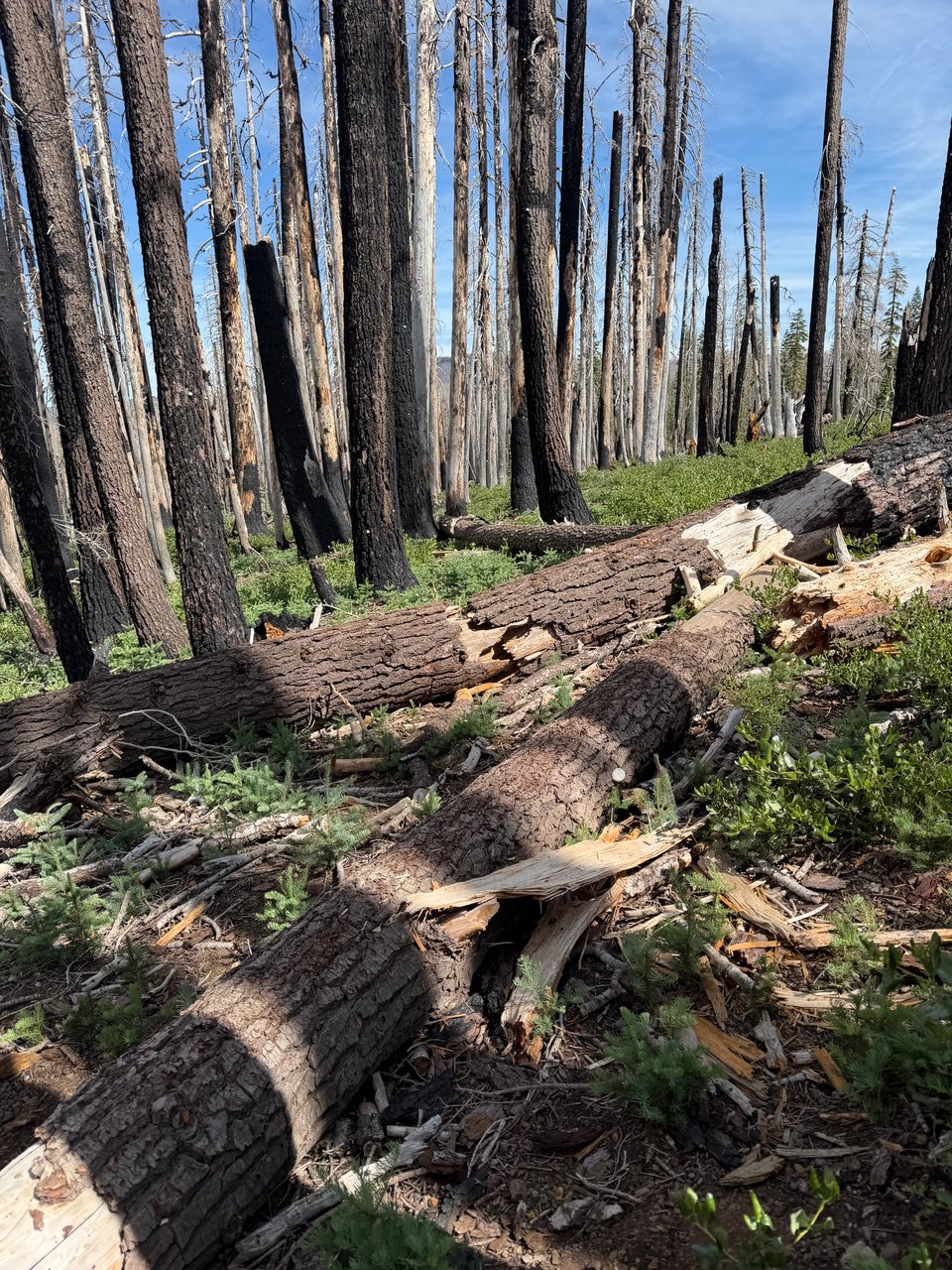
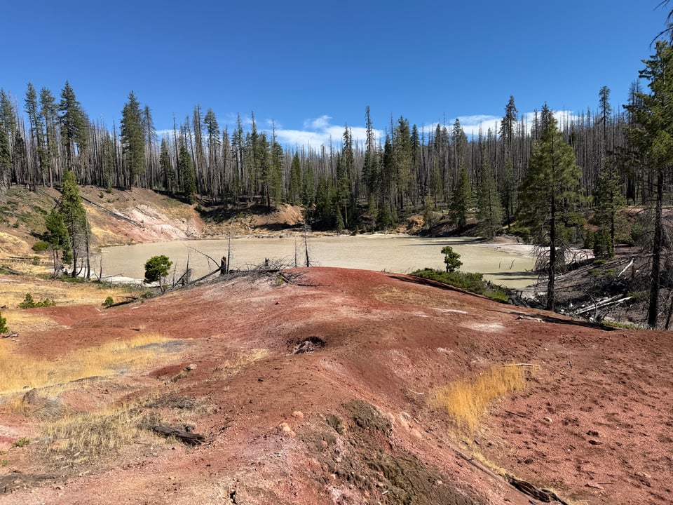
Miles of thorny briars that tore open your legs with a thousand cuts. Thick, writhing swarms of flies. Sulfur-spewing lakes of hot, opaque liquid a hue no water should ever be. And of course, thousands and thousands of charred, downed trees to climb over, their unstable crumbling limbs and sharp broken off branches attempting to trip you at every opportunity.
It felt like hell, or maybe purgatory.
06/28 We leave Quincy a little late after Biscoff finally gets his vegan burrito. We clock 25 miles in the latter half of the day, avoiding the poison oak as best we can. Though we hope for trail magic, there is nothing. I wait at the bottom of the hill with the two cans of soda I bought in Belden, guessing correctly that Biscoff would breeze right through. We share the drinks before starting the punishing climb ahead of us.
06/29 A very difficult day. Out of Belden, the climb is horrendous, steep, full of poison oak, at times a thick jungle of plants, the trail totally disappearing. I get lost in the thickets a couple of times, slipping on mud near a creek. Near the top is a sign demarcating the Sierra-Cascades divide. I enter the Cascade range for the first time in my life, at first it looks mostly the same, but I spot more and more distinctly volcanic rock.
Near the top, we encounter a new bush full of thorns that grows in the burned areas, it is about to become a mainstay for the next 50+ miles. Starting to feel like we are experiencing a form of medieval torture, we try putting on pants, but they only partly protect our legs from getting scratched. We run into hordes of coal-black caterpillars and swarms of locusts on the trail. Biscoff and I end the day exhausted, the one redeeming quality is that we camp at Butt Mountain and the jokes abound.
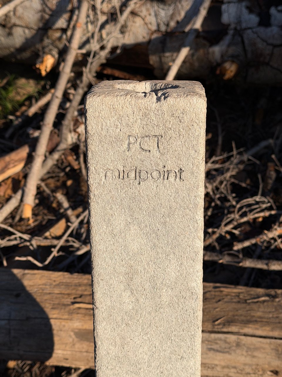
6/30 A difficult day but there is light at the end of the tunnel. Early on, we hit the halfway point of the trail. Kind of underwhelming, it’s difficult to celebrate in such a hard section. Unfortunately, despite being extra careful Biscoff has contracted poison oak behind his knee. I, much less careful, have somehow come off unscathed. I’m grateful as he washes our pants in a creek to get any remaining residue off. We briefly reunite with Eddie at a road crossing and he tells us he got hit by a sprinkler the past night when camping in a public park in Chester.
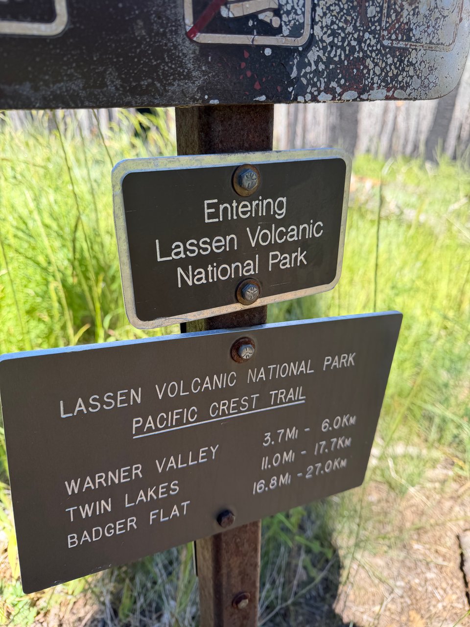
We make it to Lassen Volcanic National Park, but not before experiencing 10,000 more scratches to the shin from the sharp bushes everywhere. Eventually when we can’t take it anymore, Biscoff puts on pants and I pop more ibuprofen, unwilling to wear anything but shorts in such hot weather. My shins continue to get destroyed by sharp bushes and logs until we get to Drakesbad Ranch in Lassen, shower, buy some soda, and camp for the night.
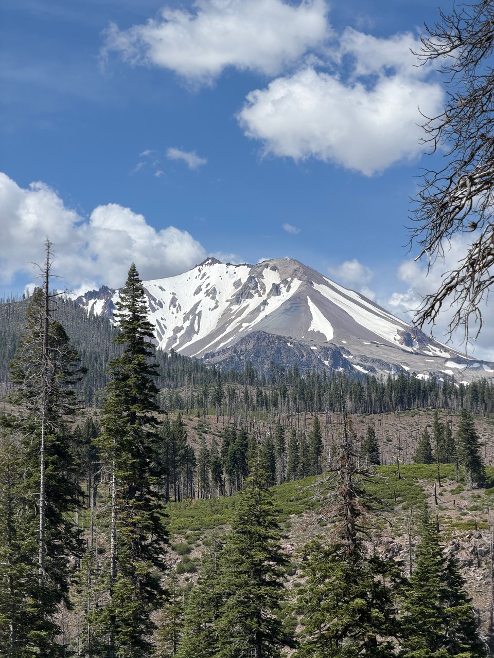
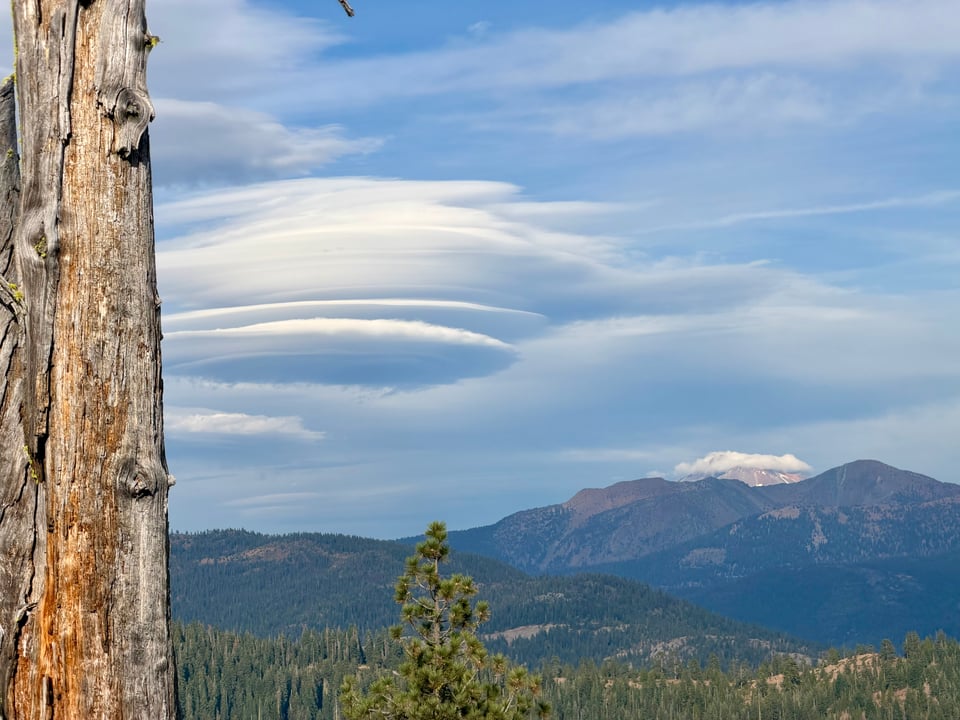
7/1 The northern half of Lassen is far less onerous than the southern half. We fly through the flatter, clearer terrain and make it to Old Station by lunch. We go to all 3 gas stations/general stores in search of vegan food and finally find some at the last one. The final miles of the day are on an exposed ridge where we can see Mt. Lassen in one direction and Mt. Shasta the opposite way.
Finally out of the burn scar, we start to appreciate the terrain again. It’s beautiful but we are hesitant to relax just yet, there could still be more ahead.
bonus
(we were quadruple checking what poison oak leaves look like because we are paranoid now)
Part 13: far northern california
2026.07.09 — original post
7/2 Out of Lassen we walk a ridgeline that begins to look much more Cascadian. I see lots of animals in the morning, cows, deer, a rattlesnake, a skunk. We hit water caches again in this section, a throwback to the desert. Haven’t seen one in a long time but it’s a welcome reprieve from the dry stretch. In the afternoon heat we stop at Burney Mountain Guest Ranch 0.3 miles off the trail for ice cream and soda, which hosts a 100-mile race annually that I consider running someday.
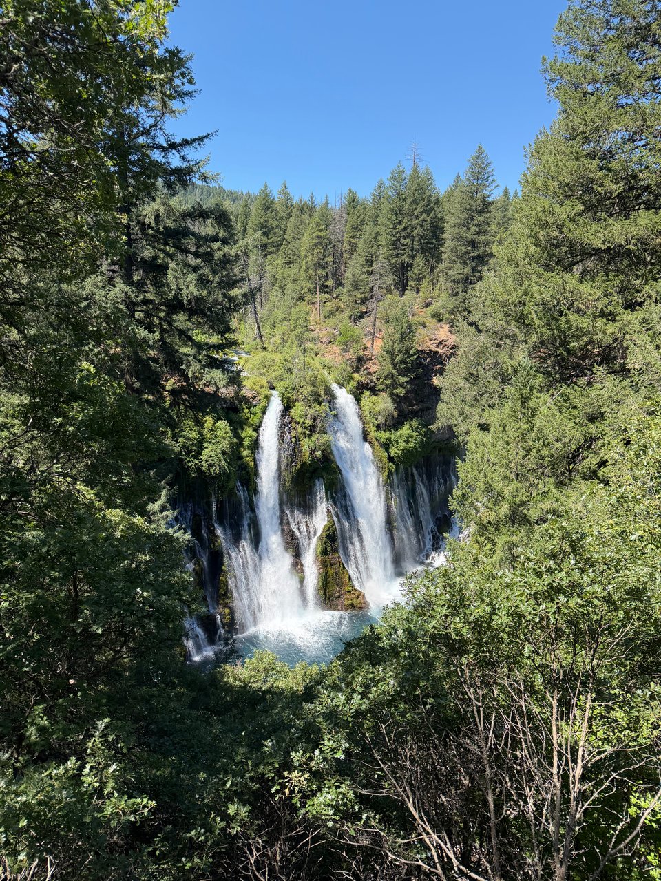
7/3 In the morning we hike to Burney Falls State Park, except we go a mile past the turnoff and need to turn back. We meet Starship again, except this time they are carrying a much bigger pack; their impressively light 5 pound base weight Pa’lante Joey was just for a short section earlier. It’s nice to see a familiar face, now far ahead of the “bubble”, we are seeing fewer and fewer hikers as time goes on. The waterfall at Burney is nice but it’s crowded so we make our way back to the PCT and crush some miles.
7/4 Another hot, poison-oak-filled day. Luckily after a lot of climbing through thick manzanita in the morning, the afternoon is clear and downhill. We run into Mark, a local trail angel, grilling hot dogs in the parking lot. I feel particularly American as I eat one and drink lots of soda.
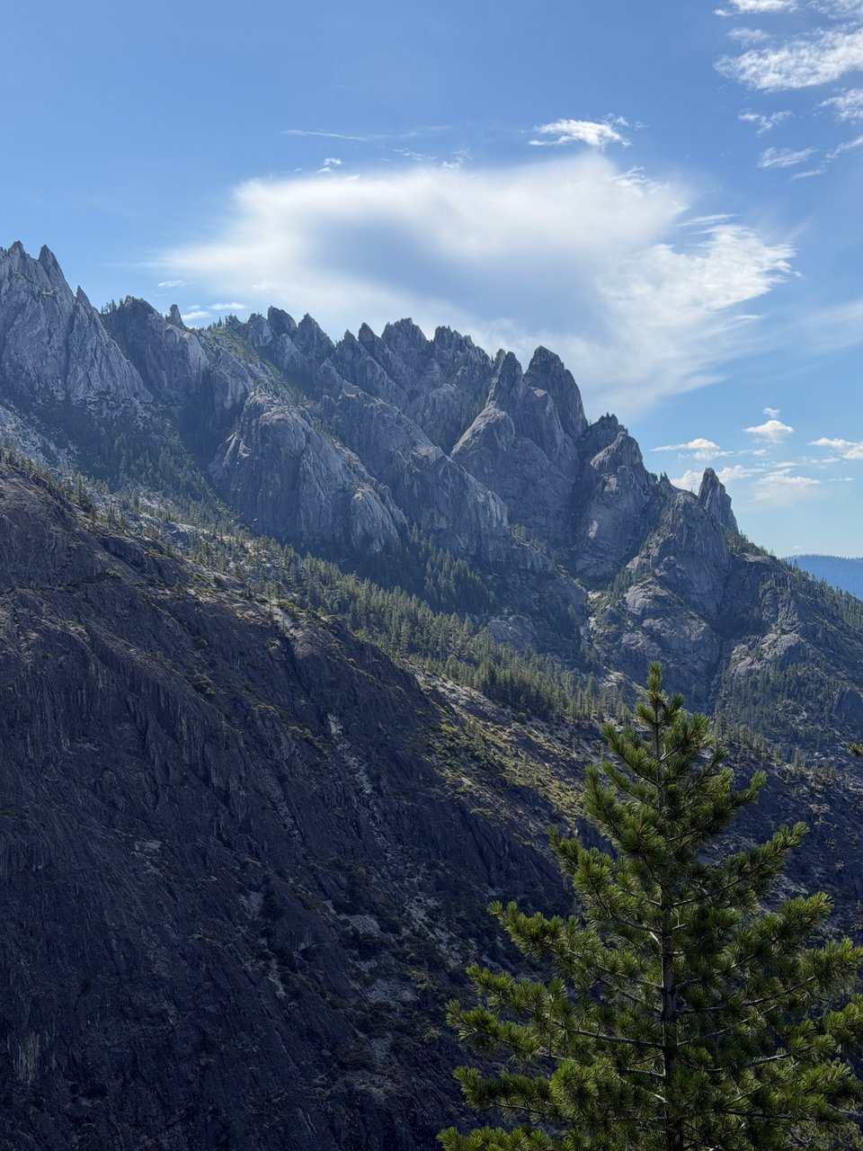
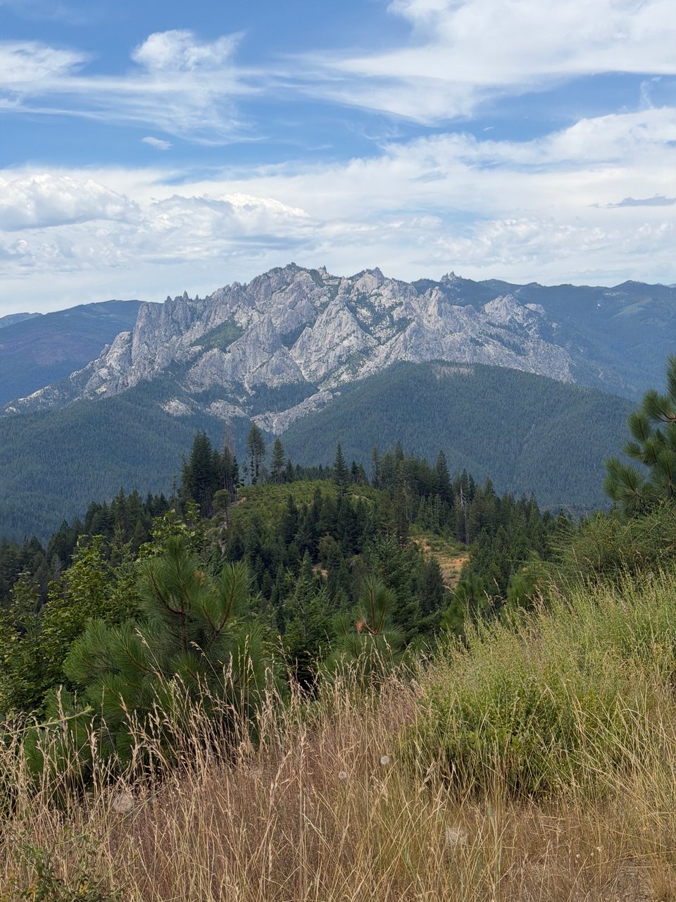
7/5 We make it to Castella, just off I-5, near Castle Crags State Park. The rock is rugged and beautiful. It’s so nice to be outside of the burn zone and poison oak zone, I appreciate the healthy forest so much more now.
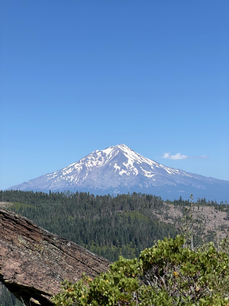
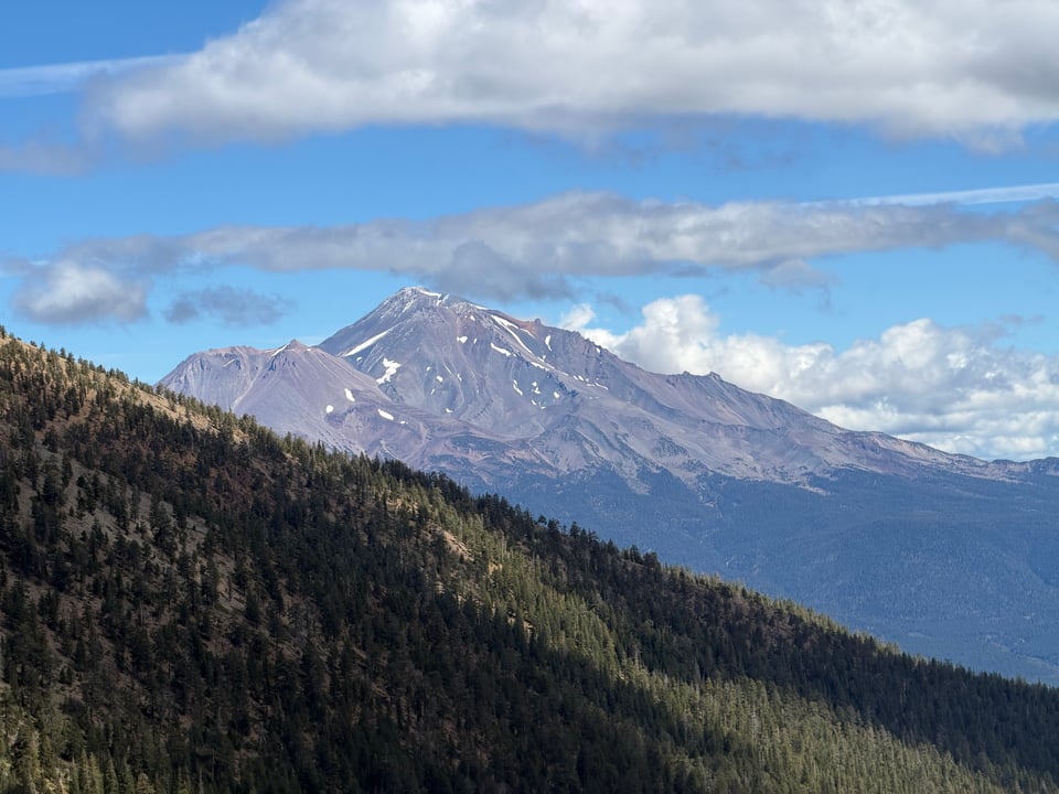
7/6 The crags loom over us as we hike up a 4,000ft climb in the morning. The newer, volcanic rock of the Cascades is an interesting counterpoint to the Sierra Nevada granite I have been seeing for so long now. Following the ridgeline, I’m able to find enough service to call home. This whole section we’ve had great views of Mt. Shasta, and this one is no exception. Biscoff complains he’s getting tired of it, but honestly I don’t mind. She’s a beautiful mountain.
7/7 As we near the end of California, the terrain begins to look more and more like a typical Pacific Northwest landscape. It’s getting greener. There are still a few small burned sections, but nothing as bad as before. We crush 37 miles, a new record for me, excited to get into Etna tomorrow.
7/8 Lots and lots of climbing today. We have 26 miles into town but it may as well have been 36. Progress is slow, but the views are beautiful. Now in Klamath National Forest, we briefly get a section of Sierra-esque granite again. It’s almost like I’m back in Sequoia-King’s Canyon. Conversation focuses mostly on how we have almost finished California. For me it’s bittersweet but Biscoff is very excited to be back in Oregon soon. Etna is charming and we enjoy the small town’s atmosphere before an early night.
More than halfway through the hike, things are starting to feel more routine and less novel. Fewer firsts. Fewer hikers around. But it’s still a good time. We have just a few dozen more miles until the end of California. Next stop, Ashland, Oregon.
Part 14: the end of california
2026.07.13 — original post
After months and months of hiking through California, I finally reached the end.
For 18 years this state was the whole world as I knew it. The Golden State, for all I was concerned, may as well have been the entire universe.
We had beaches, and mountains, and forests, and deserts. We had Silicon Valley, and the Central Valley (CA produces half of the vegetables and three quarters of the fruits/nuts grown in the United States), and gold, and the iPhone, and blue jeans, and Disneyland, and Yosemite, and Hollywood, and 300+ days of sunshine a year, and really, it felt like we had everything. I could have lived and died happy never having set foot outside of the state’s borders.
Now that I have traveled far and wide, lived thousands of miles away for almost a decade, do I think any different? Honestly, no, not really.
I still pretty much feel the same love and (be)longing I did as a child. Being apart from California for so long really killed part of my soul. Deep down I am forever tied to this land and its people. Nowhere else has ever felt right to me. Maybe there is somewhere else for me too, but I haven’t found it yet. I know I will leave again but somehow I also know now that I will always, always come back.
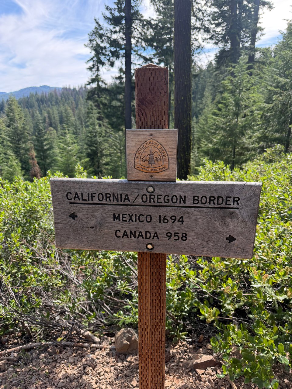
So that is all to say, it felt very weird crossing the border into Oregon this week, now having travelled every vertical foot of what used to be my entire universe. When I crossed that border, the world became a little smaller. Like the final pages of a favorite novel, I tried to slow myself down even as I couldn’t help but be gravitationally yanked toward the conclusion. As I crossed the border, the unexplored and mysterious aspects of the universe in my mind subtly but unmistakably diminished.
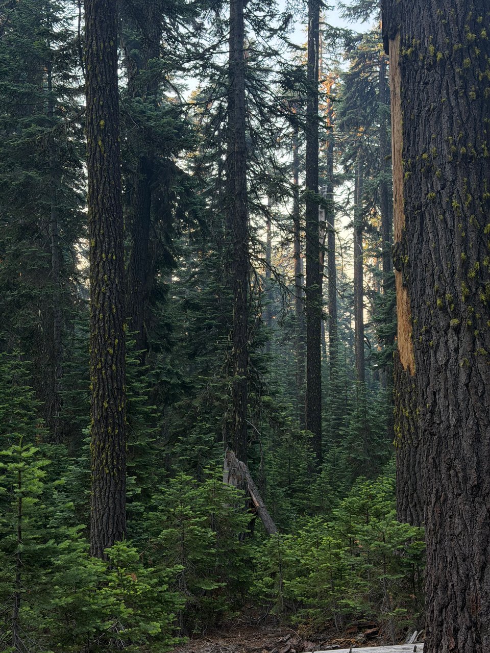
Despite my many bittersweet feelings about finishing California, so far Oregon has been great. After many hundreds of miles of unmaintained trail, the meticulously manicured paths here have been a pleasure to hike. Founded on the timber industry, Oregon knows forests, and takes pride in showing them off. Trail crews are endlessly at work clearing the blowdowns and overgrowth. People are nice, though there is a clear cultural difference in how they act. Hard to put my finger on what exactly. But even now taking a zero in Ashland, I can tell I am a foreigner again.
The ecology, somehow, also changed right at the border. Conifers are more robust in their foliage, wildflowers scatter over the landscape, and wild onions spring up by the thousands along the trail. Biscoff describes the forest here as “cozy” and I concur. It has a storybook feel. Almost too perfect to be real.
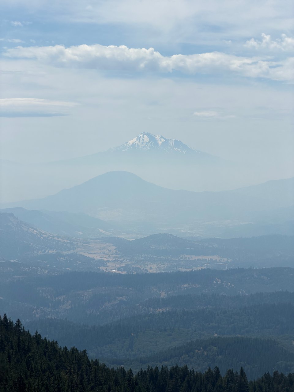
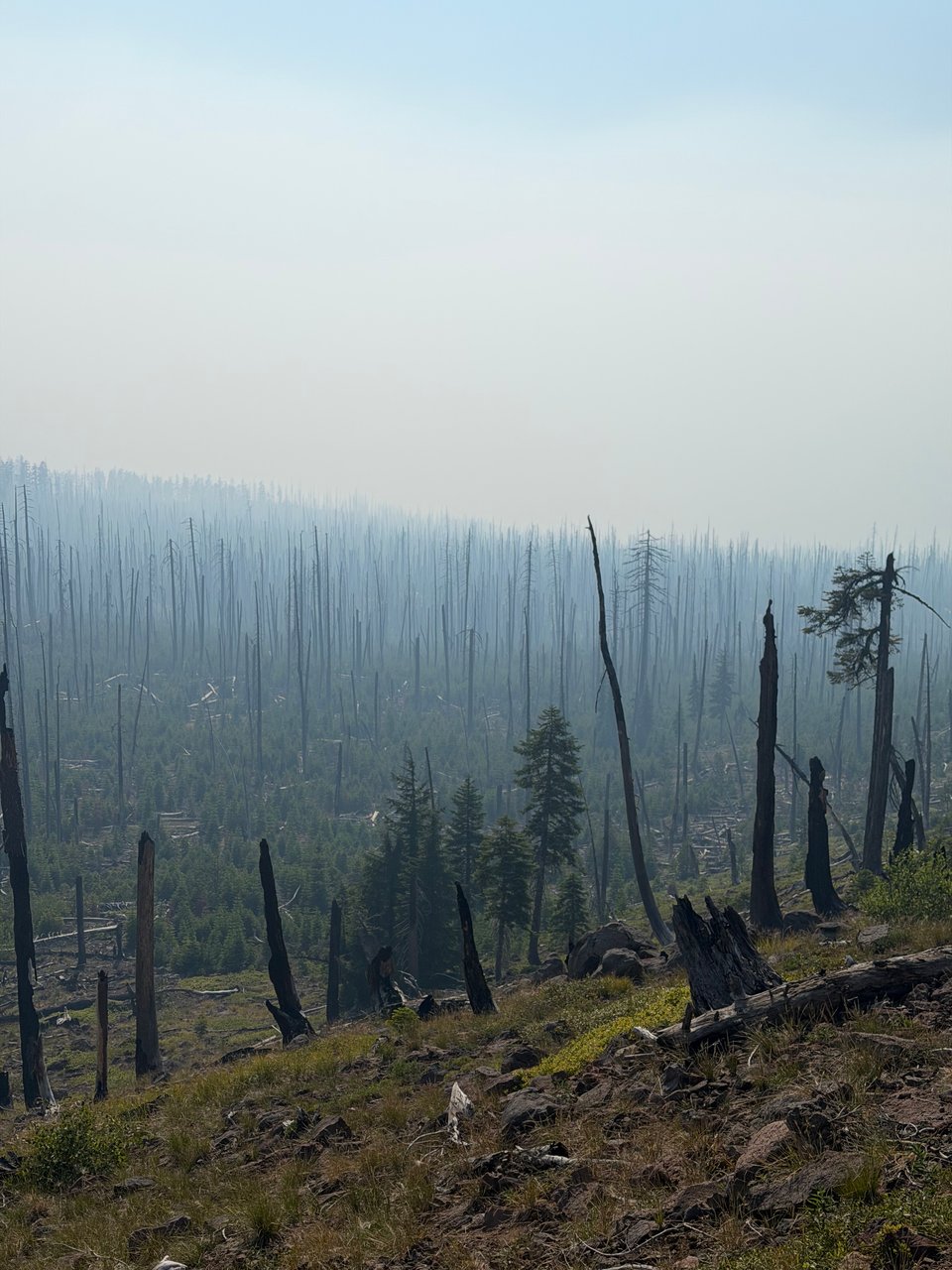
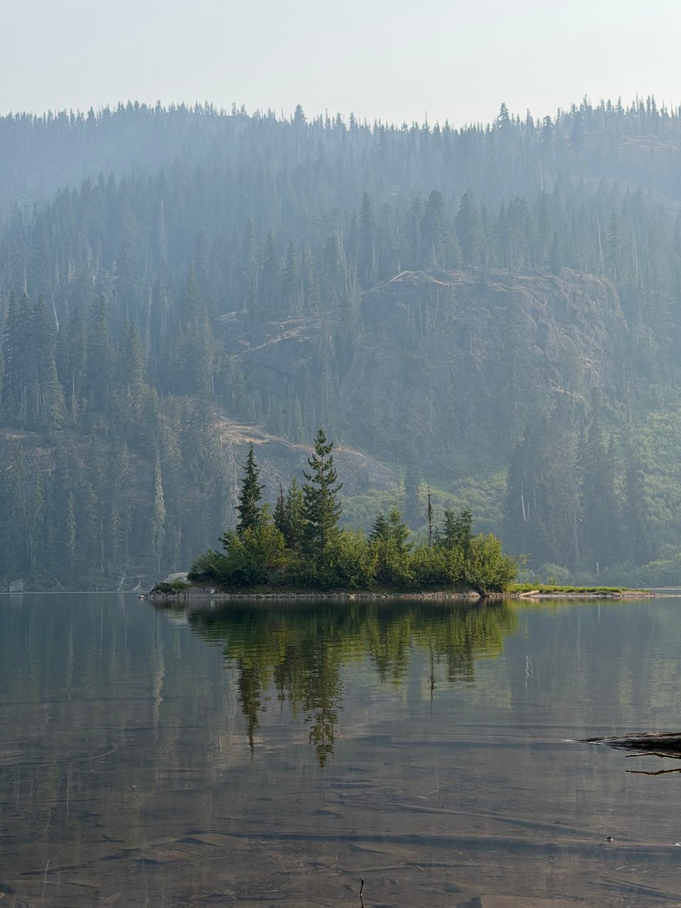
As a final goodbye, I can still catch glimpses of Mt. Shasta in the distance. Wildfire smoke begins to blow in, luckily not from a fire near the trail. Still it’s not a good omen, and I am praying that we are just fast enough to beat fire season in Oregon and Washington. Only time will tell.
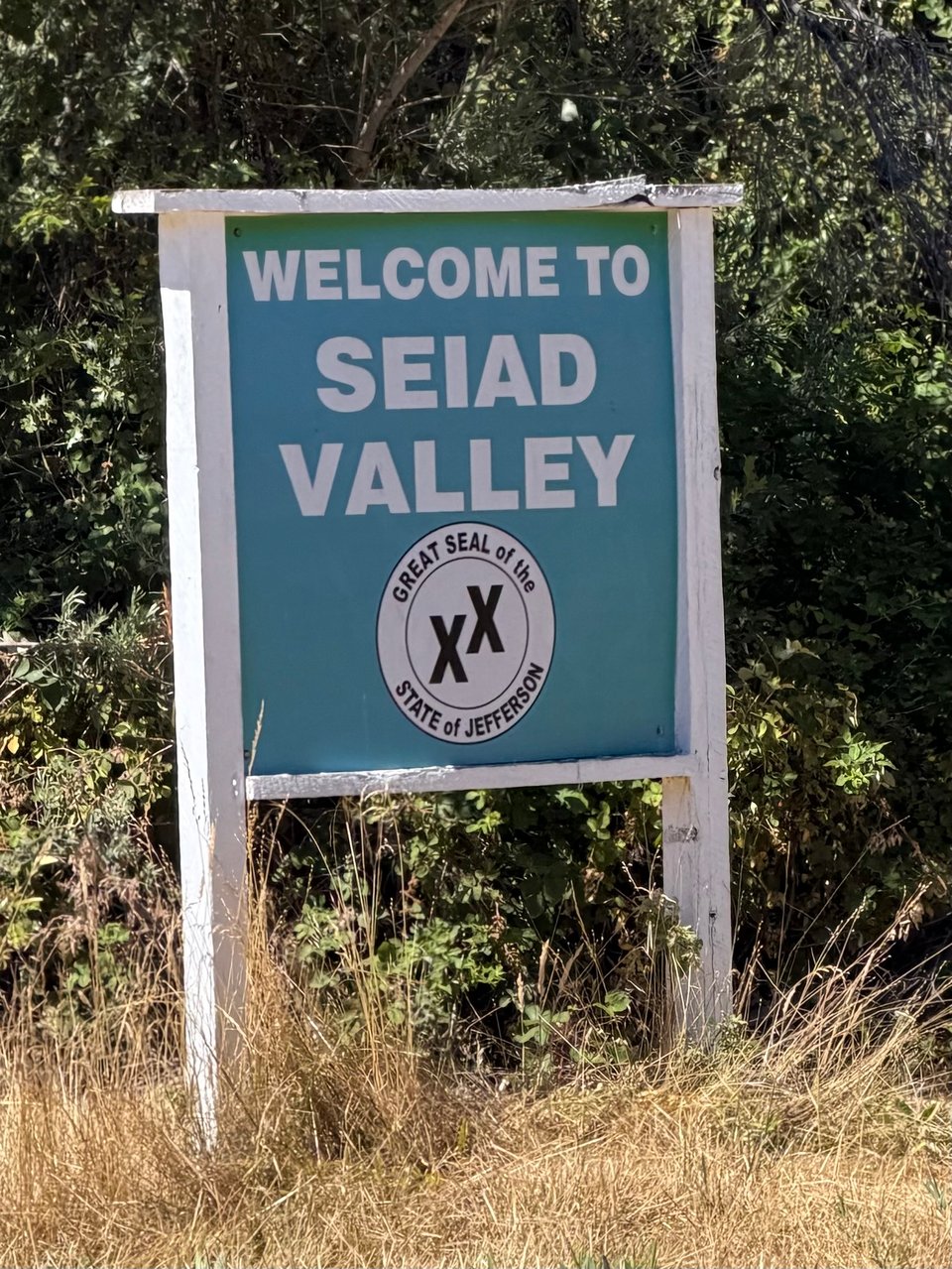
Well, maybe the final town in California, Seiad Valley, is not in California at all. Maybe the PCT runs through four states. It all depends on who you ask.
Part 15: southern oregon
2026.07.22 — original post
Southern Oregon is notoriously cruisy. It’s fairly flat, the trails are level, and the weather is mild. For most people, it’s where they hit their first 30 mile day. For a crazy person like me, that milestone happened on day 4 so my goals are a little different. I didn’t come here to go especially fast or break any records though. I came here to see the country.
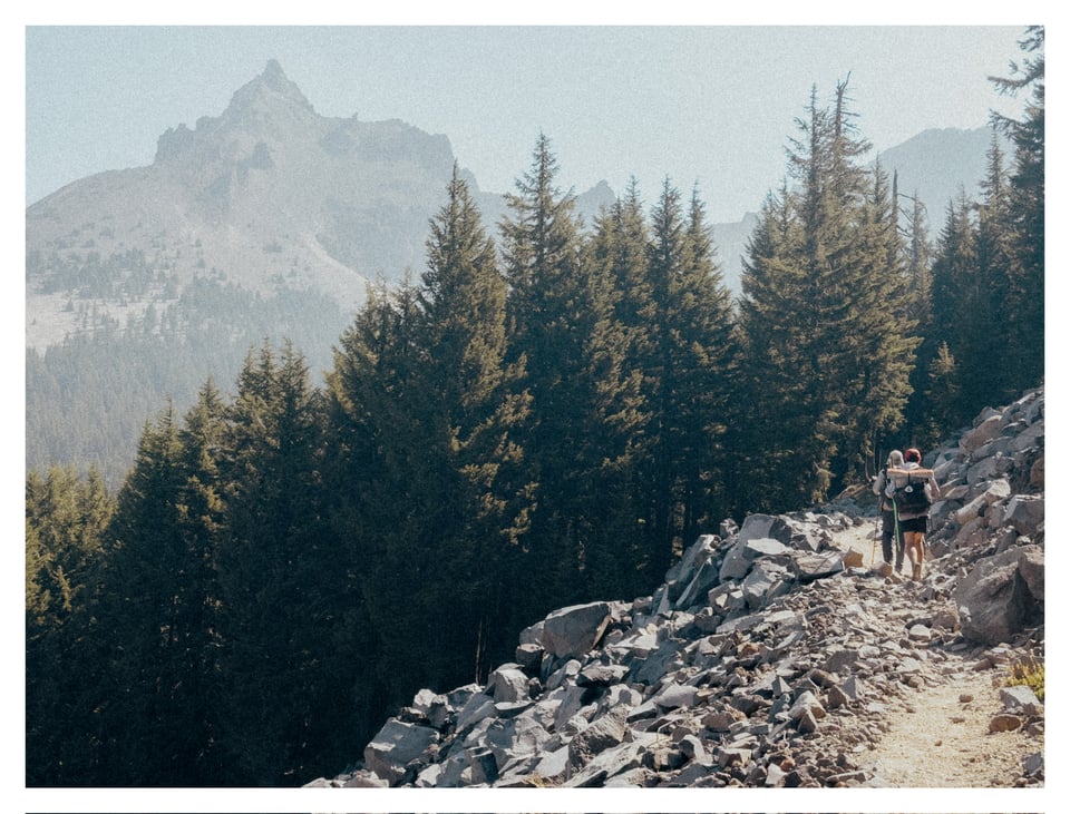
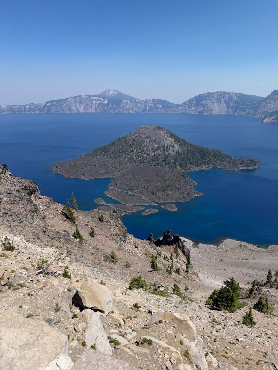
We passed by Crater Lake, more forests, lakes, and quite a bit of wildfire smoke.
When we arrived, I was excited but honestly Crater Lake National Park was just okay to me. Beautiful, sure, but not awe-inspiring.
It didn’t really wow me. It was cool for about 5 minutes before the crowds started to stress me out. The lack of variety in terms of things to see (it’s literally just a lake that you can’t even go down to) left me a little unimpressed. Still I’m glad I saw it, and enjoyed the ease of the roadwalk.
Mt. Thielsen, on the other hand, a volcanic peak just to the north of Crater Lake, was much more striking. I wanted to climb it, but held off since we were trying for our first 40 mile day on trail and I didn’t want to sabotage the effort. The smoke in the air was also starting to mount, obscuring long-range views. Thielsen also has a lot of class 3 and 4 scrambling and though I probably would have been fine, I wasn’t 100% confident in going alone.
We hit our first 40 mile day without much difficulty. Biscoff and Eddie wisely vetoed my attempt to continue and try for 50 miles, as they are concerned above all about staying healthy and avoiding stress injuries. I knew it would pay to hike with people older and wiser than me.
We have walked through a few burn zones here, and there is a little smoke, but overall it’s been fine. The burn zones are much better maintained than anything in California. We may still be climbing over some downed logs, but at least there is almost no overgrowth.
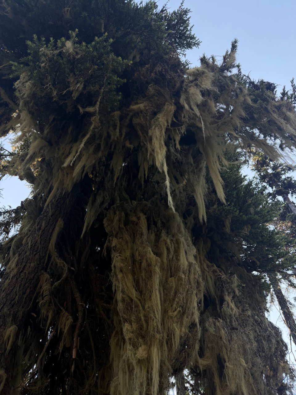
Next week we’ll hit the Three Sisters, Mt. Hood, more moss, more volcanic rock. It’s started to rain again, which will hopefully help with the fires. Or maybe it will just bring more red flag warnings. We’ll see.
I finally got my patches, now my hat is complete
Part 16: seeing it all
2026.07.27 — original post
You can probably tell I am more than 2,000 miles into this. I’m trying my best not to become cynical and jaded, but it is nevertheless becoming more difficult to find new and exciting things to write about. In some ways, I feel like I have seen every tree, every mountain, every wildflower, every lake, every waterfall the western US has on offer.
In that way, I have succeeded. I came out here primarily to see the land. Merely see it. Looking back, maybe I should have made my goal to appreciate it.
But at this point it feels too late to add new aspirations.
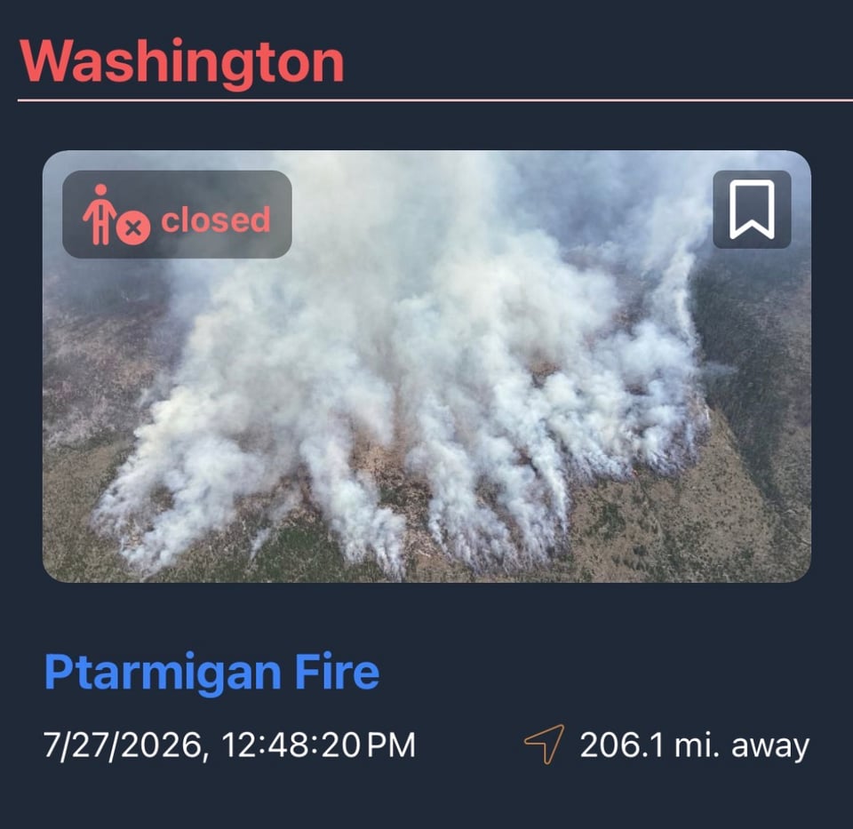
I am starting to develop tunnel vision on the end. Or, what will have to serve as the end. The real endpoint, the terminus monument of the PCT at the Canadian border, is no longer accessible.
The PCT in that area has been closed due to fires, so I will have to stop short by about 50 miles. No monument for me. No commemorative photo. If I had an Instagram to post to, I would probably be REALLY mad right now.
Washington, what I have seen of it so far, might take the cake as the most beautiful state I have ever hiked in. Jury’s still out.
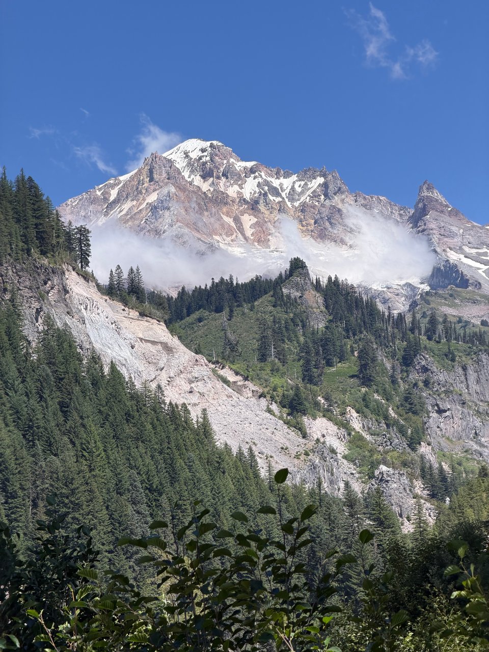
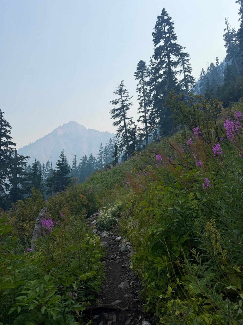
The forests, even more lush and dense than Oregon, are full to the brim with healthy-looking trees, verdant foliage, and plenty of animals. Around the corner you can catch glimpses of snow-capped peaks. Climbs are steep and lengthy. Brooks and streams are crystalline. Lakes azure. Crowds on the trail are thinner, towns smaller. It’s quiet here.
I like it.
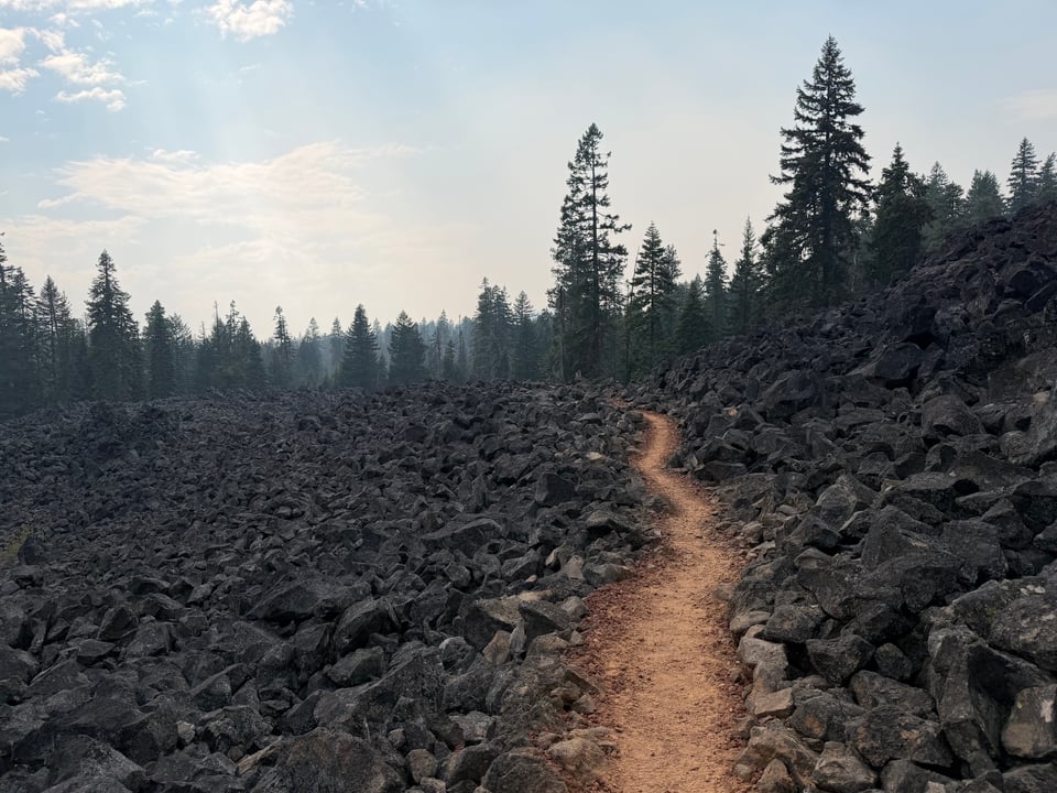
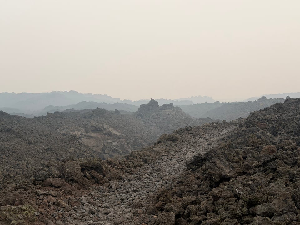
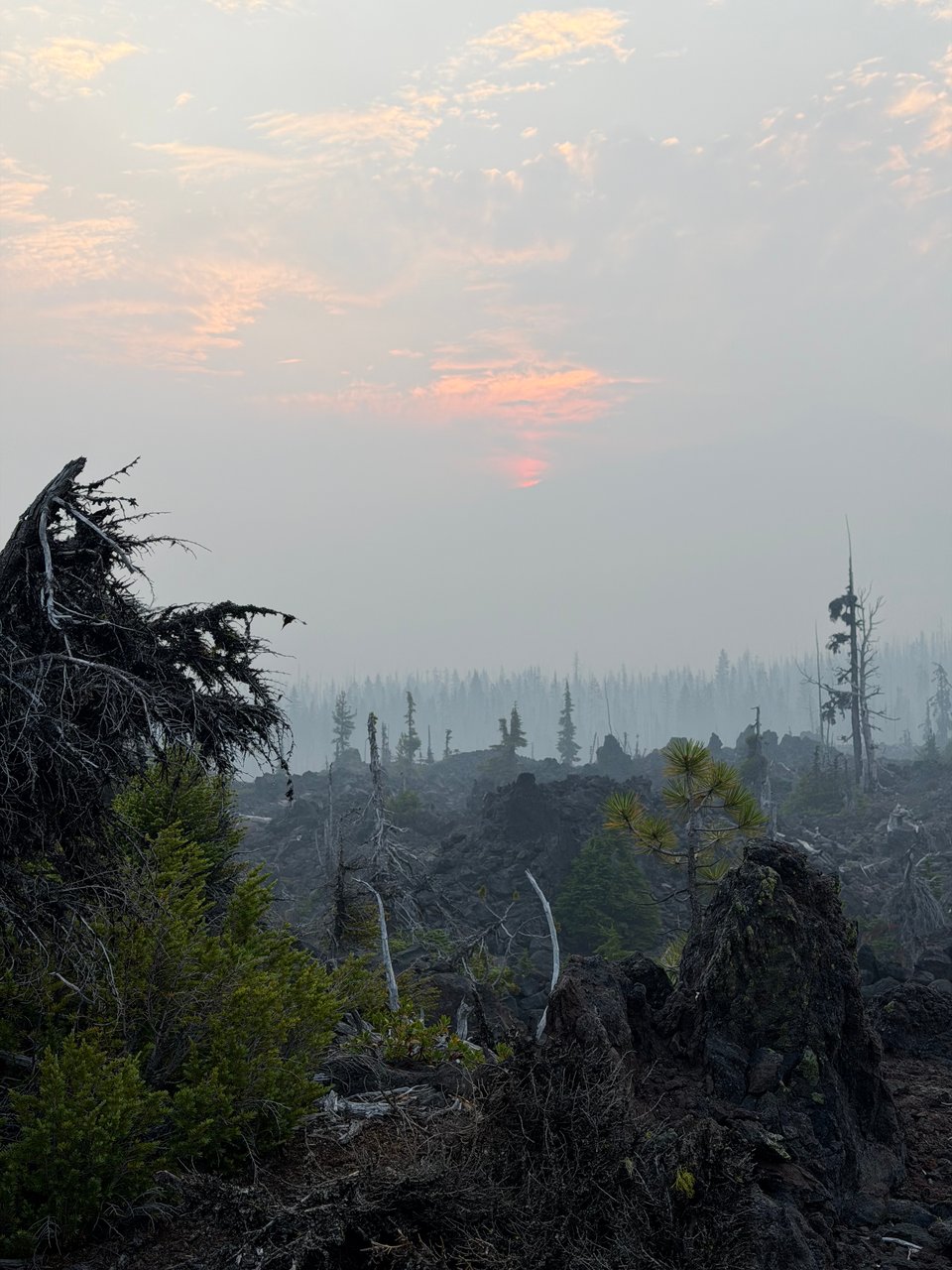
Compared to some of the final days in Oregon, near the fire in Sisters, it feels like paradise. Marching through thick smoke over endless lava fields, it felt like PCT Apocalypse part 2.
I had to leave a few days out completely. Nothing good happened. No redeeming moments.
I almost wrote a whole entry about how much I hated the smoke and the heat and the sharp rocks. How I hated the 30 mile water carries and drinking from murky ponds. How I struggled to make the call to split up with friends again because I didn’t want to hike back into the smoke with them towards a 27,000 acre fire. But I decided to try not to dwell on negativity for once.
Solitude and quiet have been nice for a change, especially in beautiful Washington. I can do even more miles now that I am fully on my own schedule again. It’s fitting and maybe almost poetic that I will wrap up my hike in a similar way to how I began.
After my most recent loss today I decided to compile a list of all of the pairs of sunglasses I have gone through so far on this hike
1. IZIPIZI #E (had these for 3 years) (broke them rolling over in my sleep) (repaired and safe at home) 2. Goodr from Hikerbox #1 (pink Mt. Rainier) (lost) 3. Goodr from Hikerbox #2 (pink, so scratched I was basically blind in the center of my visual field) (put back in a hikerbox) 4. Red/black from Bishop gear store (broken on Sierra High Route) 5. Knockoff ray bans from Mammoth gas station (lost within 2 hours of leaving Mammoth) 6. Cheap amazon pair (sent home) 7. Goodr #3 black/black found on ground in Bend (loved these) (lost near Trout Lake) 8. Cheap pair from Trout Lake Grocery #1 9. Cheap pair from Trout Lake Grocery #2 as a backup
Please pray for me that pair numbers 8 and 9 will last me through the end, I am not sure if I can handle another loss at this trying time.
Part 17: best for last
2026.08.03 — original post
Despite everything, the PCT apparently still has a few tricks up its sleeve. Some of the best sections of the whole trail have been here, so close to the end. Saving the best for last.
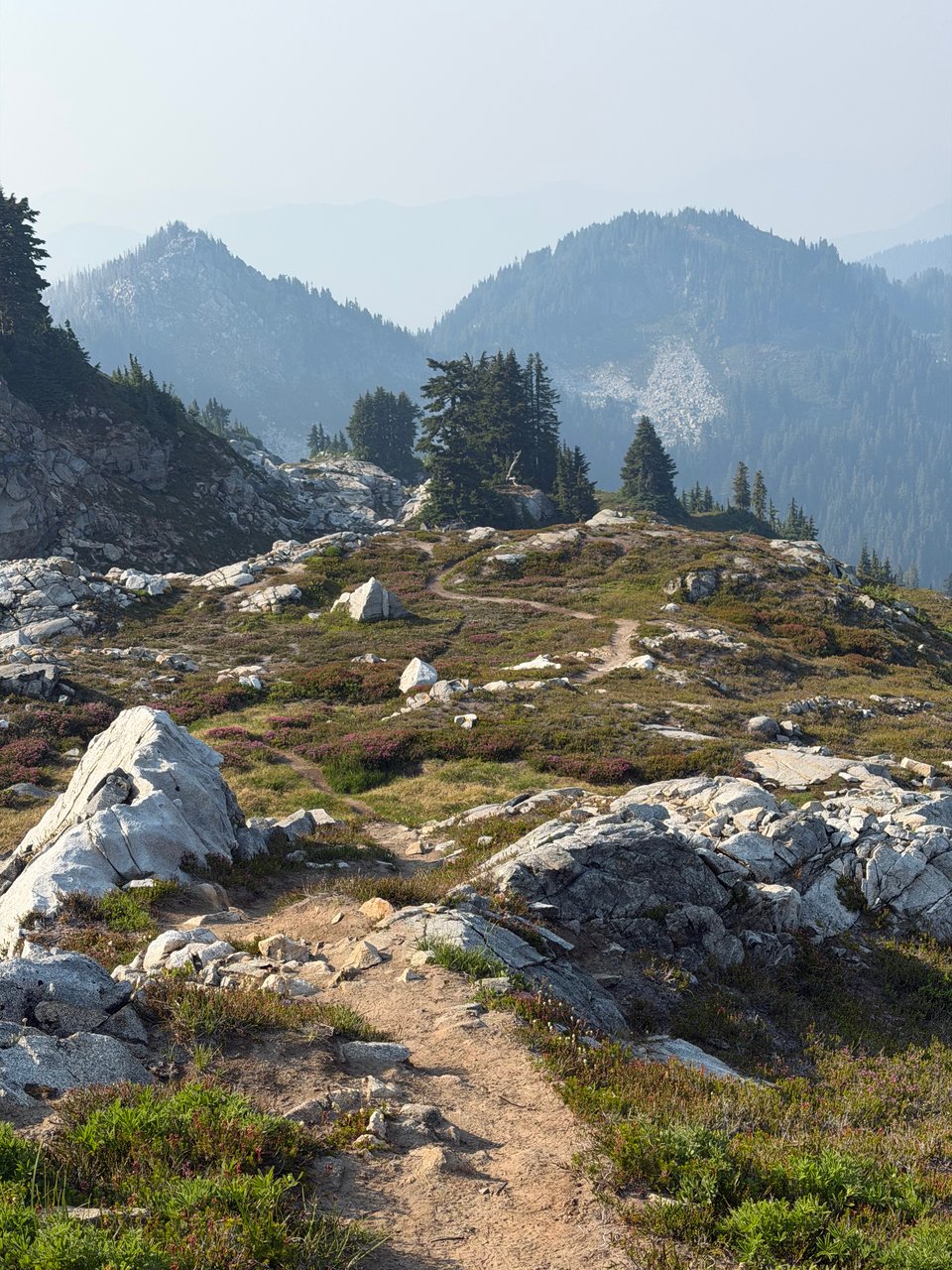
This section, despite being beautiful, has been a lot of long days with a massive amount of climbing. Cumulative fatigue is taking its toll. I’m tired. My brain is struggling to form full sentences. So this week will be mostly photos.
Only one or two of these updates remain. I have 200 miles until the end. SOBO hikers warn me there are some very rugged, unmaintained sections ahead. But that they are also beautiful.
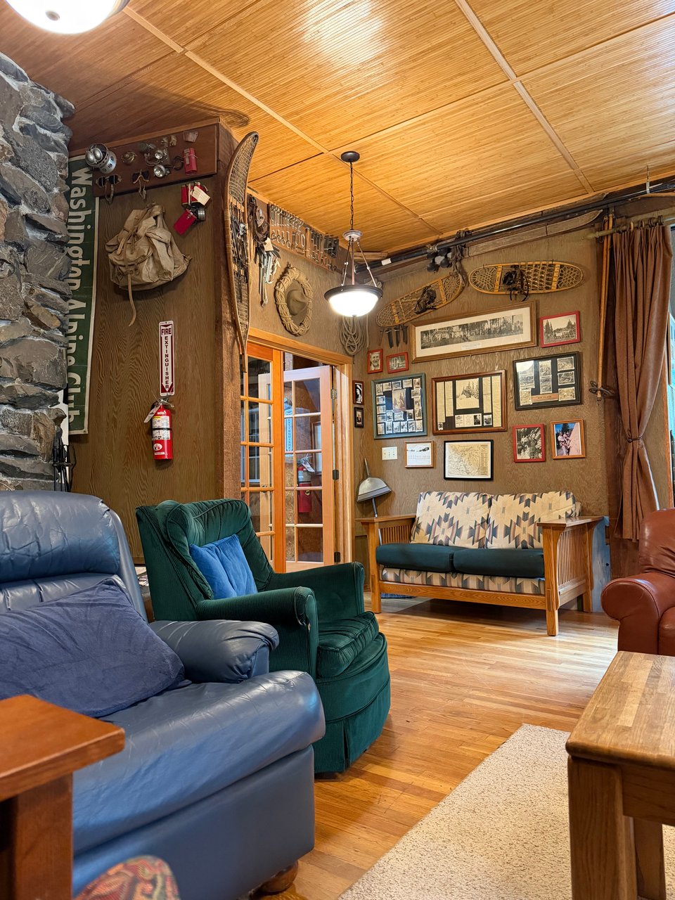
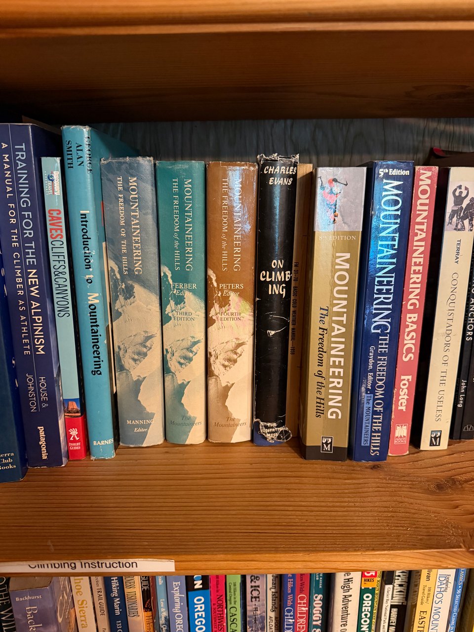
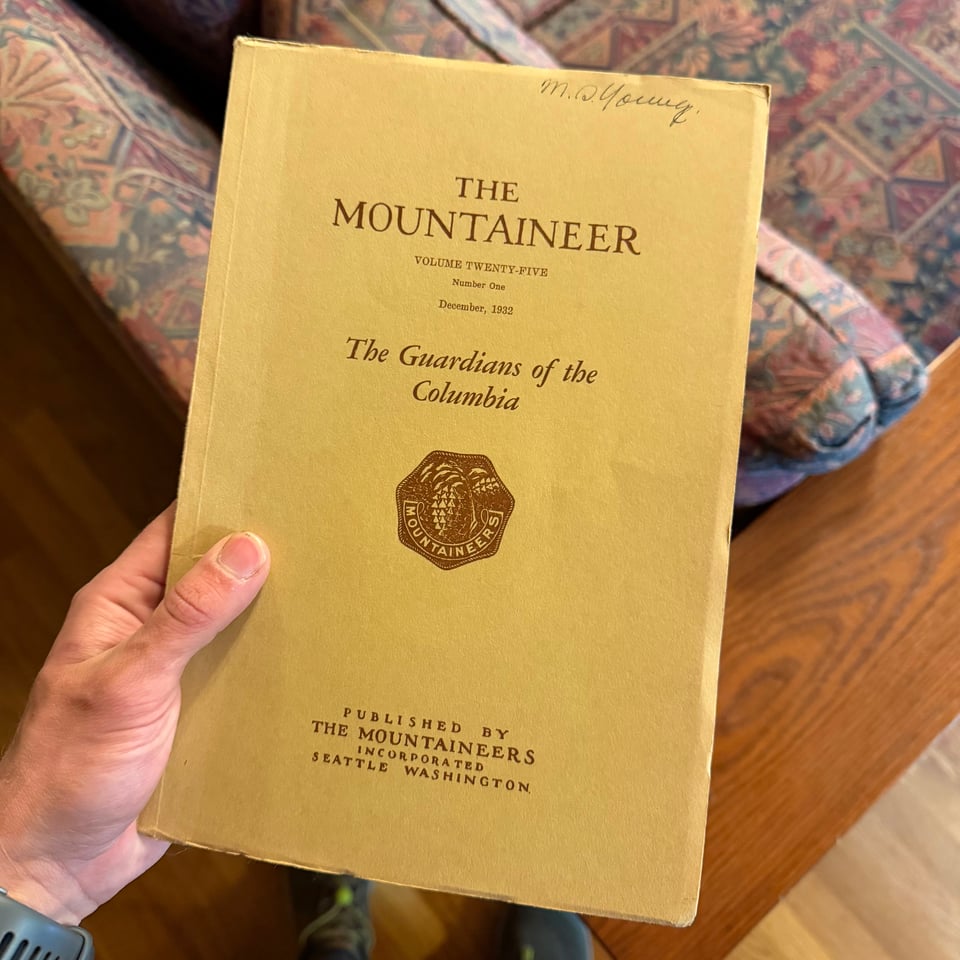
I’m staying at the Washington Alpine Club in Snoqualmie Pass, and their library is amazing. Full of old issues of The Mountaineer and American Alpine Journal, back to the 1930s. They even had a first edition copy of Mountaineering: The Freedom of the Hills.
Part 18: the penultimate
2026.08.05 — original post
Washington’s Alpine Lakes Wilderness, section WA J of the PCT, is gorgeous. Or so I am told.
Much of it was obscured by smoke. I tried my best to capture some of the few moments it cleared. The haze was persistent and got worse by the day.
Instead of my typical outward focus, I primarily looked inward. Unless the terrain was particularly onerous, my mind wandered.
I meditated on how everything good I have is the result of dreaming unrealistically big at some point. How my biggest fear in life is that I will eventually settle, give up, and become comfortable.
How most of my current dreams are unrealistic. Scary. Conflict with each other. Will lead to disappointment and failure. How I will almost certainly not be able to achieve (or even attempt) everything.
But that I still have to try anyways.
As this walk across the United States wraps up next week, I’ve been told by seasoned hikers to expect exhaustion, sadness, aimlessness, despondency. “Post Trail Depression” is as prevalent an affliction as “Christmas Toes” [1]. It mainly stems, they say, from losing the trail as a central purpose/goal of your life. Feeling like you have nothing to strive for anymore.
Well, bring it on then.
[1] Christmas Toes - (after a long hike over the summer) when you can’t feel your toes until Christmas
It may come as a shock to those who live civilized lives but this is about as good as it gets, bathroom-wise, out here
I also have been keeping a growing list of things I want to do when I get home/that I can’t do while hiking. Drawing was on there, I guess I got that one checked off early.
Part 19: the end ...
2026.08.24 — original post
I’m writing this from a point not too far from the PCT (off mile 780) in Sequoia-King’s Canyon National Park.
There is surprisingly okay cell service here.
On August 11th I finished the trail. Or finished what I could. The final section was somewhat anticlimactic, but I was assured the section to the border with Canada was also poorly maintained so I wasn’t missing all that much.
I’m not sure doing the trail changed me as a person, whatsoever. If anything, I have returned to a more “real” version of myself that I had been temporarily parted from during my time living and working on the East Coast.
What I know now is that I want to keep spending as much time outdoors as I can.
Yesterday, on the way here, I picked up two grizzled hitchhikers from Tuolumne Meadows. They were both 79 and had served in the army together. They had hiked all the way from Mammoth Lakes to Tuolumne over the JMT, which is a particularly technical and steep section. Impressive even for a young person. And they didn’t look very fit at all. Far from it. Over the car ride they reminisced about old army buddies they had lost touch with and had surely passed away over the years. No real plans on how to get back. But of course, the trail (in the form of me this time) provides.
As for where I am headed next, the wide open skies of desert Arizona have called out to me for a long time. The red rock country of the southwestern US has a certain mystique that has captured the minds of artists and adventurers for time immemorial.
I hope you will join me on the next chapter, on the Arizona Trail. As soon as the monsoon season there lets up ;D
Part 20: post-apocalypse
an epilogue
2026.09.22 — original post
The last time I hiked through Northern California on the PCT, I compared it to the apocalypse. Nothing else came close to describe how I felt traversing over and through the endless charcoal monoliths in the scorching sun.
Now back for a second round in the golden glow of the Indian Summer, it feels decidedly post-apocalyptic. Very few people are around. Most PCT hikers are close to the terminus by now, or have finished and gone home for the season. Only elk hunters remain. Things are eerily quiet. We have time to watch nature moving at its own pace as the season turns. Autumnal colors begin to sing decay.
After an all-night train journey north, I arrive in Klamath Falls (sometimes known as Klamtucky for reasons which quickly become obvious). I’m here to meet my friend Liminal who summoned me back to the trail to hike NorCal with her. I agree without really considering what this will entail. After some thought, I convince myself the horrible experience I had last time was due to my own mental state and interpersonal issues, and that this time, maybe I can enjoy myself. Maybe. If not, at least it will be a productive training period.
Lim and I met early on in the PCT, back on day 4 in Warner Springs. I haven’t hiked with her much, but we have continuously exchanged voice notes and texts since we met. Despite being “long distance”, she’s one of my closest friends from the PCT.
We hike south from Ashland, comparing notes. We are able to construct full stories out of our own partial fragments of metatextual lore; when I was almost thrown from the back of a pickup truck in Hikertown, it turns out that the driver was demonstrating the fishtailing that another hiker named Whiskey had done to flip the truck just days before. Whiskey, temporarily employed at Hikertown as a driver, was known to have an alcohol problem. He went to jail. Go figure.
Though it’s been only a few months, the scenery here is significantly different. Everything is tinged with gold and orange. Days are noticeably shorter and the golden hours before dusk seem to stretch on endlessly. It’s warm but not hot; healthy breezes blow through up on the ridgeline.
I’m struck by just how much your mindset determines experience. With relentlessly positive Lim, the hundreds of blowdowns are more of a minor annoyance than a day ruiner. We take long breaks to appreciate the scenery, and despite this we still clock 30+ miles on a full day. Lim is tough as nails and despite the fact she has had her share of men harassing and stalking her on trail, steadfastly continues towards the finish.
At the Oregon/California border, I am stopped in my tracks by an intense wave of nostalgia as I leaf through the register. Dozens of names of those I left behind at some point on my journey are listed in succession. It’s good to see that they made it, at least to the end of California. It’s even better to see the groups of friends that stuck together all this way. Hiking is a small world, so I hope I see them again soon. Except for Pierre. Get fucked, Pierre.
We meet a doomed looking 22 year old SOBO who, on top of dealing with some kind of devastating tibalis issue that is making him walk like an 82 year old, also had to be treated for rabies. He has had to stop in every town for shots after getting bit on the finger by (supposedly) a rat while asleep. His pantomime of the scene involves a sleeping position with arms crossed over his chest like a vampire and Lim and I conclude it was definitely a bat bite. We christen him Rabies.
Another SOBO hiker, at first introducing himself as Big Sausage, later loses this trail name. A Texan who has just graduated college, he continues to cook elaborate meals 4 times a day, despite being hopelessly behind schedule to finish. He recounted the story of being asked his name by an evangelical preacher hosting him overnight. “No. Under my roof” the preacher warned disapprovingly, “you are Bob”. Needless to say after learning this we demoted him to merely Sausage Bob.
Lim and I make it to Etna, where we plan to stay for the day before continuing south. Slow season notwithstanding, it’s a charming town. I’m excited to continue on through what I previously thought were some of the “worst” sections. Sometimes what you want most is hidden behind whatever you least want to do. Or something like that.
Part 21: finale
2026.09.29 — original post
Like I alluded to in the title, this week was the true “spiritual” end to my PCT hike. The season finale. There were lots of termini this year (Plural of terminus. I hate this word. Like “datum” as singular for data. Can we please workshop this?).
“Officially” the end for me was Rainy Pass on August 11th. But that was so anticlimactic and I felt like I still had unfinished business with this trail. These past few days with Lim have been key in getting real closure. Emotionally, the terminus, as in the true ending of my PCT journey, was the pavement outside 3 broken restrooms at a gas station near I-5 on September 26th.
But before we reached this true ending, we had a few more miles to cover out of Etna.
Once in a while, if you are lucky, and really scrutinize the maps, you will find a dirt road paralleling the trail. Some purists shun the taboo act of a roadwalk during a hike, believing in the sacredness of a continuous footpath on the official trail. Some do it only out of necessity or practicality. I fall into a third camp, as does Liminal. We fucking love road walks.
Whether they save time, elevation, or distance is not really important to me. I actually couldn’t care less. I’m not doing it for the shortcut. I will even do extra mileage if it’s on a road. Something about the broad, flat expanse, increased top speed, ability to walk side by side with a hiking partner, and propensity for passing cars to hand free food out the window makes me a huge fan.
So this is all to say when we see a road walk out of Etna, we take it. It saves Lim and me no time and is not a shortcut; it leads to a crazy near-vertical scramble up a steep headwall, but we enjoy anyway because this is all in a day’s work.
Once again we become enthralled by the sunset and keep walking past the last viable campsites for many miles ahead. No problem at this time of year, we have not seen a soul for what feels like many days. So we decide to just sleep in the middle of small spur trail. Nobody is around to care.
I’m surprised to see pitcher plants the next morning. I had seen them last time too, but they feel so incongruous in this relatively dry and mountainous environment. It feels to me like they should grow in a jungle, not here. But they do.
I’m trying to pay more attention to plants in particular. My tree ID skills are weak but growing. I’m determined. Botany, a subject I have been passingly interested in since childhood, is overwhelming in its scale and complexity. Still, like learning a new language, it’s great to be able to ID a few species here and there, and I am adding more to my collection all the time.
We didn’t plan for Castella to be the end. But the night before, Lim and I had a transcendent and frankly I would say magical experience walking the ridgeline in Castle Crags State Park. Under a pink and lavender sky, the chill of fall creeping in, an oversized moon rising and taking up what felt like thirty to forty percent of the entire sky, time stood still.
We both became so emotional and taken by the scene, so cinematic, so much the perfect culmination of the entire hike, that it felt right to end it there. So we did.
It was an unusually good night of sleep in the cold despite both of us being gripped by abstract and terrifying dreams. The final few miles into Castella were spent reflecting on how far we had both come, how we were ultimately mostly the same but also subtly and irreversibly changed in some way.
After hitching to Dunsmuir and having a quintessentially all-American meal at a burger stand, we tried to process all that had occurred. Our train wasn’t until 1am so we wasted hours doing stupid shit. Unable to resist the pull of the local Dollar General, we made one last round as if to resupply, scrutinizing the calories per ounce of every viable vile processed packaged “food” we could find.
Eventually so tired, by force of habit, I pitched my sleep setup in a parking lot next to the train. Upon reflection, this forsaken spot did not even crack the top 10 worst places I camped on the trail.
My hike on the PCT this year was simultaneously almost NOTHING what I expected it to be like, but also one of the best things I have ever done. I appreciate you coming along for the journey.
As I wrap up the PCT, I’m grateful for what this first major thruhike has taught me (post on that forthcoming), but also very stoked to plan my CDT effort next year. That trail, seeing less than 1/10th of the number of hikers as the PCT, notorious for its roadwalks, is literally and figuratively much more of a “wild west” and I could not be more excited.
I’m taking a break for two weeks, and then heading to the desert to start the AZT. A key section of the Arizona Trail remains closed after the flooding in the Grand Canyon. It seems like many hikers will skip a large section of northern Arizona and start south of the closure, which is frankly a sound financial and logistical decision. Not me, though. I’m going to try to hike every mile that’s open. Life is too short to run from obstacles. I’m sure I’ll find a way. See you at the terminus!
back to pct overview